2134 Clark Rd Cutler, OH 45724
Estimated Value: $114,000 - $213,000
3
Beds
1
Bath
1,584
Sq Ft
$102/Sq Ft
Est. Value
About This Home
This home is located at 2134 Clark Rd, Cutler, OH 45724 and is currently estimated at $160,819, approximately $101 per square foot. 2134 Clark Rd is a home with nearby schools including Warren High School.
Ownership History
Date
Name
Owned For
Owner Type
Purchase Details
Closed on
Sep 14, 2011
Sold by
Moss Cecil C and Moss Teresa S
Bought by
Mcguire Paul and Mcguire Brenda K
Current Estimated Value
Purchase Details
Closed on
Nov 24, 2009
Sold by
Moss Cecil C and Moss Teresa S
Bought by
Mcguire Paul and Mcguire Brenda K
Home Financials for this Owner
Home Financials are based on the most recent Mortgage that was taken out on this home.
Original Mortgage
$44,400
Interest Rate
4.95%
Mortgage Type
New Conventional
Create a Home Valuation Report for This Property
The Home Valuation Report is an in-depth analysis detailing your home's value as well as a comparison with similar homes in the area
Home Values in the Area
Average Home Value in this Area
Purchase History
| Date | Buyer | Sale Price | Title Company |
|---|---|---|---|
| Mcguire Paul | -- | Northwest Title | |
| Mcguire Paul | -- | Northwest Title | |
| Mcguire Paul | $55,500 | Attorney |
Source: Public Records
Mortgage History
| Date | Status | Borrower | Loan Amount |
|---|---|---|---|
| Previous Owner | Mcguire Paul | $44,400 |
Source: Public Records
Tax History Compared to Growth
Tax History
| Year | Tax Paid | Tax Assessment Tax Assessment Total Assessment is a certain percentage of the fair market value that is determined by local assessors to be the total taxable value of land and additions on the property. | Land | Improvement |
|---|---|---|---|---|
| 2024 | $1,129 | $29,600 | $5,180 | $24,420 |
| 2023 | $1,129 | $29,600 | $5,180 | $24,420 |
| 2022 | $1,125 | $29,600 | $5,180 | $24,420 |
| 2021 | $1,081 | $27,310 | $3,850 | $23,460 |
| 2020 | $1,080 | $27,310 | $3,850 | $23,460 |
| 2019 | $1,065 | $27,310 | $3,850 | $23,460 |
| 2018 | $947 | $23,590 | $3,210 | $20,380 |
| 2017 | $942 | $23,590 | $3,210 | $20,380 |
| 2016 | $1,165 | $23,590 | $3,210 | $20,380 |
| 2015 | $816 | $22,780 | $3,030 | $19,750 |
| 2014 | $1,138 | $22,780 | $3,030 | $19,750 |
| 2013 | $409 | $22,780 | $3,030 | $19,750 |
Source: Public Records
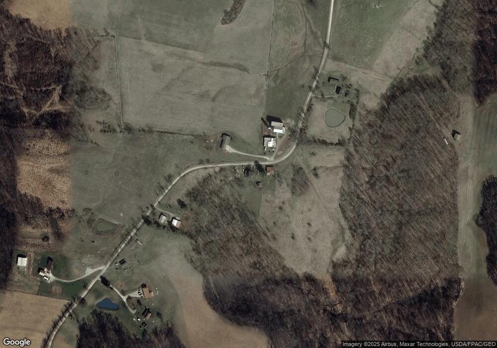
Map
Nearby Homes
- 2415 State Route 550
- 2187 State Route 550
- 1022 Tullis Rd
- 770 Ohio 550
- 22775 Mayle Ridge Rd
- Lot 2 Shinn Rd
- Lot 2 Shinn Rd
- Lot 1 Shinn Rd
- 0 Ohio 550
- 4000 C206
- 2207 Veto Rd
- 28 Mcgill Rd
- 2500 Robert Kelly Rd
- 2109 Bell Rd
- 10270 Ohio 550
- 0 Layman Rd Unit 5162075
- 0 Layman Rd Unit 5162072
- 1131 Mcgill Rd
- 6570 State Route 339
- 464 Cave Hill Rd
- 2161 Clark Rd
- 0 Clark Rd Unit 3957477
- 1998 Clark Rd
- 1911 T61
- 1900 Clark Rd
- 1911 Clark Rd
- 2300 Clark Rd
- 1767 Clark Rd
- 2530 Clark Rd
- 3860 State Rt 676
- 1679 Clark Rd
- 1707 Graham Rd
- 572 Union Cemetery Rd Unit T7
- 334 Union Cemetery Rd
- 2675 Clark Rd
- 4498 Ohio 550
- 4498 State Route 550
- 1951 Graham Rd
- 1951 Graham Rd
- 0 0 Graham Rd T 77 Unit 4494265