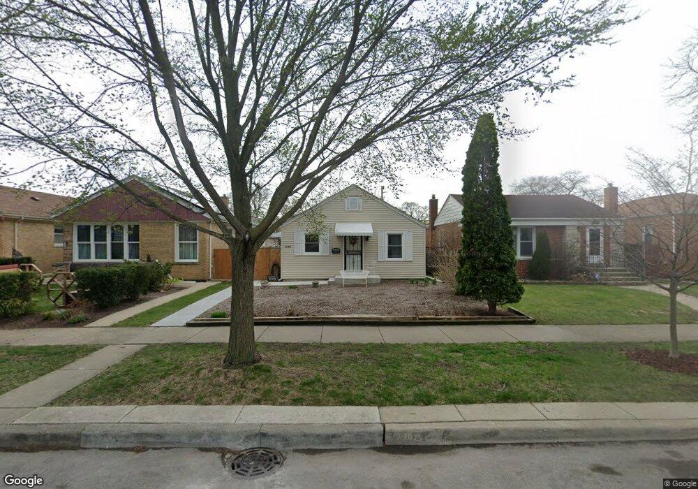
2134 Dobson St Evanston, IL 60202
Southwest Evanston NeighborhoodEstimated Value: $376,177 - $517,000
3
Beds
1
Bath
1,016
Sq Ft
$415/Sq Ft
Est. Value
About This Home
This home is located at 2134 Dobson St, Evanston, IL 60202 and is currently estimated at $422,044, approximately $415 per square foot. 2134 Dobson St is a home located in Cook County with nearby schools including Dawes Elementary School, Chute Middle School, and Evanston Township High School.
Ownership History
Date
Name
Owned For
Owner Type
Purchase Details
Closed on
Aug 27, 2004
Sold by
Wainio Margaret
Bought by
Stephanopoulos Mary
Current Estimated Value
Home Financials for this Owner
Home Financials are based on the most recent Mortgage that was taken out on this home.
Original Mortgage
$165,600
Outstanding Balance
$77,643
Interest Rate
5.5%
Mortgage Type
New Conventional
Estimated Equity
$344,401
Create a Home Valuation Report for This Property
The Home Valuation Report is an in-depth analysis detailing your home's value as well as a comparison with similar homes in the area
Home Values in the Area
Average Home Value in this Area
Purchase History
| Date | Buyer | Sale Price | Title Company |
|---|---|---|---|
| Stephanopoulos Mary | $207,000 | Lawyers |
Source: Public Records
Mortgage History
| Date | Status | Borrower | Loan Amount |
|---|---|---|---|
| Open | Stephanopoulos Mary | $165,600 | |
| Closed | Stephanopoulos Mary | $41,400 |
Source: Public Records
Tax History
| Year | Tax Paid | Tax Assessment Tax Assessment Total Assessment is a certain percentage of the fair market value that is determined by local assessors to be the total taxable value of land and additions on the property. | Land | Improvement |
|---|---|---|---|---|
| 2025 | $6,300 | $33,001 | $8,313 | $24,688 |
| 2024 | $6,300 | $29,000 | $7,000 | $22,000 |
| 2023 | $6,019 | $29,000 | $7,000 | $22,000 |
| 2022 | $6,019 | $29,000 | $7,000 | $22,000 |
| 2021 | $4,383 | $19,628 | $3,718 | $15,910 |
| 2020 | $4,384 | $19,628 | $3,718 | $15,910 |
| 2019 | $4,386 | $21,907 | $3,718 | $18,189 |
| 2018 | $5,214 | $22,217 | $3,062 | $19,155 |
| 2017 | $5,093 | $22,217 | $3,062 | $19,155 |
| 2016 | $5,055 | $22,217 | $3,062 | $19,155 |
| 2015 | $4,159 | $17,918 | $2,625 | $15,293 |
| 2014 | $4,505 | $19,296 | $2,625 | $16,671 |
| 2013 | $4,385 | $19,296 | $2,625 | $16,671 |
Source: Public Records
Map
Nearby Homes
- 2123 Howard St Unit 1H
- 3024 W Fargo Ave
- 3110 W Jarvis Ave
- 1609 Howard St Unit 2
- 1517 Dobson St
- 2507 W Howard St
- 1736 Keeney St
- 1321 Brummel St
- 156 Asbury Ave Unit 5
- 1815 Cleveland St
- 2641 W Fitch Ave Unit 2
- 2615 W Fitch Ave Unit 3A
- 1217 Hull Terrace Unit 3A
- 7061 N Kedzie Ave Unit 115
- 7061 N Kedzie Ave Unit 613
- 7033 N Kedzie Ave Unit 401
- 7033 N Kedzie Ave Unit 1004
- 704 Florence Ave
- 1507 Cleveland St
- 2700 W Lunt Ave Unit 201
- 2132 Dobson St
- 2138 Dobson St
- 2130 Dobson St
- 2140 Dobson St
- 2126 Dobson St
- 2144 Dobson St
- 2124 Dobson St
- 2137 Howard St Unit 1N
- 2137 Howard St
- 2137 Howard St Unit 2S
- 2122 Dobson St
- 2141 Howard St
- 2145 Howard St Unit GDN
- 2145 Howard St
- 2145 Howard St Unit 2N
- 101 Hartrey Ave
- 2135 Dobson St
- 2139 Dobson St
- 2133 Dobson St
- 2141 Dobson St
Your Personal Tour Guide
Ask me questions while you tour the home.