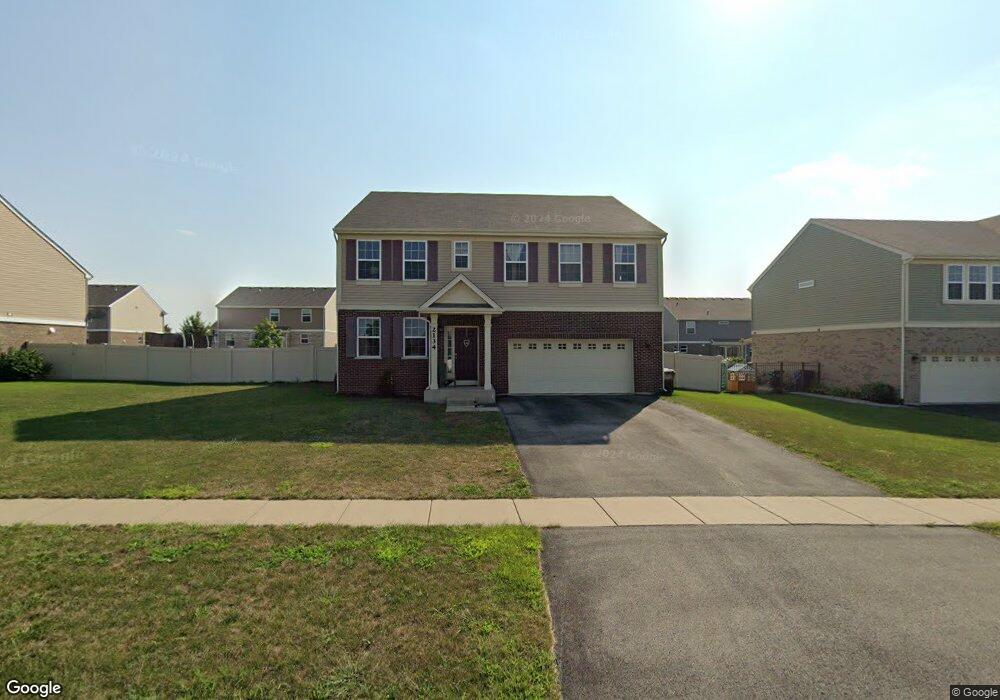
2134 Knightsbridge Ln New Lenox, IL 60451
Estimated Value: $457,027 - $545,000
--
Bed
--
Bath
--
Sq Ft
0.25
Acres
About This Home
This home is located at 2134 Knightsbridge Ln, New Lenox, IL 60451 and is currently estimated at $510,757. 2134 Knightsbridge Ln is a home with nearby schools including Spencer Trail, Spencer Pointe, and Spencer Crossing Intermediate School.
Ownership History
Date
Name
Owned For
Owner Type
Purchase Details
Closed on
Feb 24, 2015
Sold by
Drh Cambridge Homes Inc
Bought by
Klozik Vincent A and Klozik Megan M
Current Estimated Value
Home Financials for this Owner
Home Financials are based on the most recent Mortgage that was taken out on this home.
Original Mortgage
$321,138
Outstanding Balance
$247,308
Interest Rate
3.75%
Mortgage Type
New Conventional
Estimated Equity
$263,449
Create a Home Valuation Report for This Property
The Home Valuation Report is an in-depth analysis detailing your home's value as well as a comparison with similar homes in the area
Home Values in the Area
Average Home Value in this Area
Purchase History
| Date | Buyer | Sale Price | Title Company |
|---|---|---|---|
| Klozik Vincent A | $338,041 | First American Title |
Source: Public Records
Mortgage History
| Date | Status | Borrower | Loan Amount |
|---|---|---|---|
| Open | Klozik Vincent A | $150,000 | |
| Open | Klozik Vincent A | $321,138 |
Source: Public Records
Tax History Compared to Growth
Tax History
| Year | Tax Paid | Tax Assessment Tax Assessment Total Assessment is a certain percentage of the fair market value that is determined by local assessors to be the total taxable value of land and additions on the property. | Land | Improvement |
|---|---|---|---|---|
| 2024 | $11,430 | $148,852 | $21,710 | $127,142 |
| 2023 | $11,430 | $135,690 | $19,790 | $115,900 |
| 2022 | $10,297 | $125,002 | $18,231 | $106,771 |
| 2021 | $9,777 | $117,561 | $17,146 | $100,415 |
| 2020 | $9,501 | $113,366 | $16,534 | $96,832 |
| 2019 | $9,094 | $109,850 | $16,021 | $93,829 |
| 2018 | $8,885 | $106,063 | $15,468 | $90,595 |
| 2017 | $8,444 | $103,013 | $15,023 | $87,990 |
| 2016 | $8,198 | $100,256 | $14,621 | $85,635 |
| 2015 | $76 | $71,752 | $856 | $70,896 |
| 2014 | $76 | $856 | $856 | $0 |
Source: Public Records
Map
Nearby Homes
- 1515 Glenbrooke Ln
- 1501 Glenbrooke Ln
- Avalon Plan at Leigh Creek - Townhome
- Hampton Plan at Leigh Creek - Townhome
- 1595 Glenbrooke Ln
- 1738 Orchard Ln
- 1591 Glenbrooke Ln
- 1781 Orchard Ln
- 1587 Glenbrooke Ln
- 1583 Glenbrooke Ln
- 1579 Glenbrooke Bldg 60 Ln
- 2019 Royalglen Dr
- 500 E Laraway Rd
- 550 E Laraway Rd
- 2164 Sky Harbor Dr
- 2125 Sky Harbor Dr
- 2124 Sky Harbor Dr
- 2165 High View Rd
- 11886 Alana Ln
- 22018 Mary Dr
- 2126 Knightsbridge Ln
- 2142 Knightsbridge Ln
- 2129 Bonnieglen Dr
- 2135 Bonnieglen Dr
- 2123 Bonnieglen Dr
- 2118 Knightsbridge Ln
- 2150 Knightsbridge Ln
- 1798 Glenlough Dr
- 2137 Knightsbridge Ln
- 2141 Bonnieglen Dr
- 2117 Bonnieglen Dr
- 2145 Knightsbridge Ln
- 2110 Knightsbridge Ln
- 1792 Glenlough Dr
- 1797 Glenlough Dr
- 2147 Bonnieglen Dr
- 2158 Knightsbridge Ln
- 2111 Bonnieglen Dr
- 2128 Bonnieglen Dr
- 1791 Glenlough Dr