2134 Laurel Oak Dr Unit 282 Howell, MI 48855
Estimated Value: $392,000 - $414,000
--
Bed
3
Baths
2,013
Sq Ft
$201/Sq Ft
Est. Value
About This Home
This home is located at 2134 Laurel Oak Dr Unit 282, Howell, MI 48855 and is currently estimated at $404,180, approximately $200 per square foot. 2134 Laurel Oak Dr Unit 282 is a home located in Livingston County with nearby schools including Ruahmah J. Hutchings Elementary, Parker Middle School, and Howell High School.
Ownership History
Date
Name
Owned For
Owner Type
Purchase Details
Closed on
May 7, 2025
Sold by
Jones Darrell Ray
Bought by
Jones Darrell Ray
Current Estimated Value
Purchase Details
Closed on
May 7, 2021
Sold by
Fox John M and Fox Janet L
Bought by
Jones Darrel Ray and Jones Vincenta Marie
Home Financials for this Owner
Home Financials are based on the most recent Mortgage that was taken out on this home.
Original Mortgage
$301,500
Interest Rate
3.1%
Mortgage Type
New Conventional
Purchase Details
Closed on
Oct 24, 2002
Sold by
Ellsworth William E and Ellsworth Marilyn G
Bought by
Fox John M and Fox Janet L
Purchase Details
Closed on
Feb 16, 2000
Sold by
G D Builder Inc
Bought by
Ellsworth William E and Ellsworth Marilyn G
Purchase Details
Closed on
Mar 18, 1999
Sold by
M 59 Inc
Bought by
G D Builder Inc
Create a Home Valuation Report for This Property
The Home Valuation Report is an in-depth analysis detailing your home's value as well as a comparison with similar homes in the area
Home Values in the Area
Average Home Value in this Area
Purchase History
| Date | Buyer | Sale Price | Title Company |
|---|---|---|---|
| Jones Darrell Ray | -- | Reputation First Title | |
| Jones Darrel Ray | $345,000 | Liberty Title | |
| Fox John M | $184,500 | -- | |
| Ellsworth William E | $184,500 | Metropolitan Title Company | |
| G D Builder Inc | $38,000 | -- |
Source: Public Records
Mortgage History
| Date | Status | Borrower | Loan Amount |
|---|---|---|---|
| Previous Owner | Jones Darrel Ray | $301,500 |
Source: Public Records
Tax History Compared to Growth
Tax History
| Year | Tax Paid | Tax Assessment Tax Assessment Total Assessment is a certain percentage of the fair market value that is determined by local assessors to be the total taxable value of land and additions on the property. | Land | Improvement |
|---|---|---|---|---|
| 2025 | $2,601 | $192,300 | $0 | $0 |
| 2024 | $2,527 | $187,700 | $0 | $0 |
| 2023 | $2,267 | $157,400 | $0 | $0 |
| 2022 | $2,182 | $130,700 | $0 | $0 |
| 2021 | $2,182 | $137,400 | $0 | $0 |
| 2020 | $2,182 | $130,700 | $0 | $0 |
| 2019 | $2,151 | $119,900 | $0 | $0 |
| 2018 | $2,125 | $112,600 | $0 | $0 |
| 2017 | $2,097 | $109,000 | $0 | $0 |
| 2016 | $2,086 | $104,700 | $0 | $0 |
| 2014 | $2,283 | $88,600 | $0 | $0 |
| 2012 | $2,283 | $81,800 | $0 | $0 |
Source: Public Records
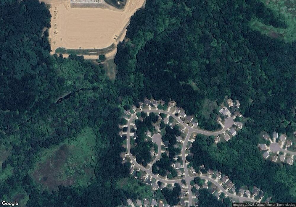
Map
Nearby Homes
- 2511 Kerria Dr Unit 42
- 1570 Princewood Blvd
- 2495 Moore Place
- 1400 Oakcrest Rd
- 1633 Frech Ln
- VACANT LOT Thompson Shore Dr
- 2500 Fisher Rd
- 3040 Bogues View Dr
- 559 Cannonade Loop
- 475 Cannonade Loop
- The Austin Plan at Broadmoor
- The Charlotte Plan at Broadmoor
- The Harrison Plan at Broadmoor
- The Bloomington Plan at Broadmoor
- The Columbia Plan at Broadmoor
- 2932 Bogue Creek Dr
- 2424 Fisher Rd
- 571 Cannonade Loop
- 523 Cannonade Loop
- 583 Cannonade Loop
- 2134 Laurel Oak Dr N
- 2126 Laurel Oak Dr Unit 281
- 2142 Laurel Oak Dr Unit 283
- 2118 Laurel Oak Dr Unit 280
- 2150 Laurel Oak Dr Unit 284
- 2133 Laurel Oak Dr Unit 272
- 2133 Laurel Oak Dr N
- 2150 Laurel Oak Dr N
- 2121 Laurel Oak Dr Unit 273
- 2121 Laurel Oak Dr N
- 2110 Laurel Oak Dr Unit 279
- 2158 Laurel Oak Dr Unit 285
- 2105 Laurel Oak Dr Unit 274
- 2050 Saddle Ridge Ct Unit 262
- 2177 Laurel Oak Dr Unit 270
- 2102 Laurel Oak Dr Unit 278
- 2058 Saddle Ridge Ct Unit 263
- 2170 Laurel Oak Dr Unit 286
- 2091 Laurel Oak Dr Unit 275
- 2195 Laurel Oak Dr Unit 269