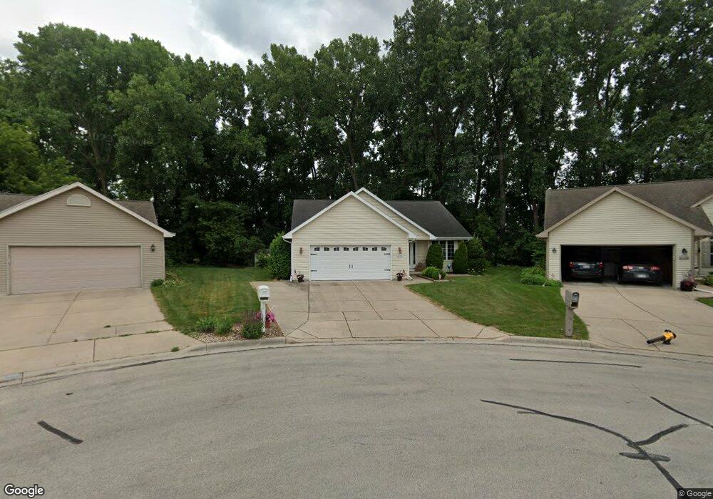
2134 Rock River Ct de Pere, WI 54115
Estimated Value: $391,000 - $413,000
3
Beds
2
Baths
1,449
Sq Ft
$276/Sq Ft
Est. Value
About This Home
This home is located at 2134 Rock River Ct, de Pere, WI 54115 and is currently estimated at $400,211, approximately $276 per square foot. 2134 Rock River Ct is a home located in Brown County with nearby schools including Dickinson Elementary School, De Pere Middle School, and Foxview Intermediate School.
Ownership History
Date
Name
Owned For
Owner Type
Purchase Details
Closed on
Jun 1, 2004
Sold by
Hillcrest Lumber Inc
Bought by
Glaeser Roger H and Glaeser Caroline A
Current Estimated Value
Home Financials for this Owner
Home Financials are based on the most recent Mortgage that was taken out on this home.
Original Mortgage
$120,000
Outstanding Balance
$48,837
Interest Rate
3.54%
Mortgage Type
Purchase Money Mortgage
Estimated Equity
$351,374
Create a Home Valuation Report for This Property
The Home Valuation Report is an in-depth analysis detailing your home's value as well as a comparison with similar homes in the area
Home Values in the Area
Average Home Value in this Area
Purchase History
| Date | Buyer | Sale Price | Title Company |
|---|---|---|---|
| Glaeser Roger H | $161,900 | Evans Title |
Source: Public Records
Mortgage History
| Date | Status | Borrower | Loan Amount |
|---|---|---|---|
| Open | Glaeser Roger H | $120,000 |
Source: Public Records
Tax History Compared to Growth
Tax History
| Year | Tax Paid | Tax Assessment Tax Assessment Total Assessment is a certain percentage of the fair market value that is determined by local assessors to be the total taxable value of land and additions on the property. | Land | Improvement |
|---|---|---|---|---|
| 2024 | $5,075 | $358,400 | $47,100 | $311,300 |
| 2023 | $4,375 | $322,300 | $47,100 | $275,200 |
| 2022 | $4,117 | $288,100 | $47,100 | $241,000 |
| 2021 | $3,934 | $260,700 | $39,300 | $221,400 |
| 2020 | $4,006 | $242,400 | $39,300 | $203,100 |
| 2019 | $4,171 | $231,400 | $39,300 | $192,100 |
| 2018 | $4,272 | $215,700 | $39,300 | $176,400 |
| 2017 | $3,935 | $193,400 | $39,300 | $154,100 |
| 2016 | $3,995 | $193,400 | $39,300 | $154,100 |
| 2015 | $4,021 | $186,200 | $45,600 | $140,600 |
| 2014 | $3,974 | $186,200 | $45,600 | $140,600 |
| 2013 | $3,974 | $186,200 | $45,600 | $140,600 |
Source: Public Records
Map
Nearby Homes
- 180 E River Dr
- 141 Cavil Way
- 2060 Rush Ct
- 2082 Rushway Cir
- 737 Desplaine Rd
- 830 E River Dr
- 1986 Tyler Ln
- 2094 Stone Silo Cir
- 166 Brule Rd
- 124 Shelley Ln
- 819 McCastlen St
- 3826 E Ontonagon Ln
- 3910 Monroe Rd
- 752 Longview Ave
- 3980 N Parker Way
- 3200 Monroe Rd
- 7759 Sunstone Ct
- 7751 Sunstone Ct
- 1399 Bingham Dr
- 1807 Ridgeway Dr Unit 35
- 2138 Rock River Ct
- 2130 Rock River Ct
- 2133 Charles St
- 2141 Charles St
- 2126 Rock River Ct
- 2139 Rock River Ct
- 2125 Charles St
- 2122 Rock River Ct
- 2149 Charles St
- 625 Black Earth Dr
- 619 Black Earth Dr
- 2135 Rock River Ct
- 2118 Rock River Ct
- 2131 Rock River Ct
- 2127 Rock River Ct
- 2117 Charles St
- 2123 Rock River Ct
- 2114 Rock River Ct
- 607 Black Earth Dr
- 641 Black Earth Dr