Estimated Value: $190,000 - $231,000
3
Beds
2
Baths
1,762
Sq Ft
$120/Sq Ft
Est. Value
About This Home
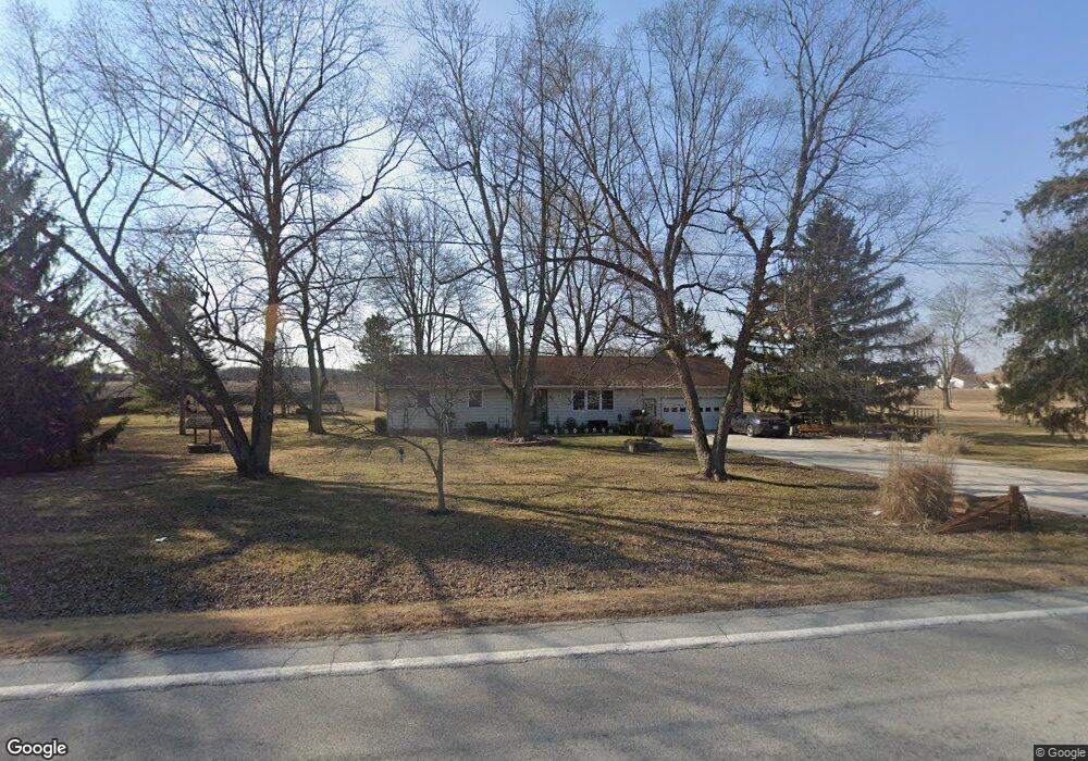
This home is located at 2134 State Route 81, Ada, OH 45810 and is currently estimated at $211,002, approximately $119 per square foot. 2134 State Route 81 is a home located in Hardin County with nearby schools including Ada Elementary School and Ada High School.
Ownership History
Date
Name
Owned For
Owner Type
Purchase Details
Closed on
Mar 7, 2014
Sold by
Hines Jerry D and Hines Virginia B
Bought by
Hines Jerry D and Hines Virgnia B
Current Estimated Value
Home Financials for this Owner
Home Financials are based on the most recent Mortgage that was taken out on this home.
Original Mortgage
$73,700
Outstanding Balance
$55,756
Interest Rate
4.29%
Mortgage Type
New Conventional
Estimated Equity
$155,246
Purchase Details
Closed on
Aug 12, 1998
Bought by
Hines Jerry D
Create a Home Valuation Report for This Property
The Home Valuation Report is an in-depth analysis detailing your home's value as well as a comparison with similar homes in the area
Home Values in the Area
Average Home Value in this Area
Purchase History
| Date | Buyer | Sale Price | Title Company |
|---|---|---|---|
| Hines Jerry D | -- | Premium Title | |
| Hines Jerry D | -- | -- |
Source: Public Records
Mortgage History
| Date | Status | Borrower | Loan Amount |
|---|---|---|---|
| Open | Hines Jerry D | $73,700 |
Source: Public Records
Tax History Compared to Growth
Tax History
| Year | Tax Paid | Tax Assessment Tax Assessment Total Assessment is a certain percentage of the fair market value that is determined by local assessors to be the total taxable value of land and additions on the property. | Land | Improvement |
|---|---|---|---|---|
| 2024 | $1,549 | $50,860 | $8,850 | $42,010 |
| 2023 | $1,549 | $50,860 | $8,850 | $42,010 |
| 2022 | $1,845 | $42,340 | $4,470 | $37,870 |
| 2021 | $2,029 | $42,340 | $4,470 | $37,870 |
| 2020 | $2,036 | $42,340 | $4,470 | $37,870 |
| 2019 | $1,795 | $37,740 | $4,260 | $33,480 |
| 2018 | $1,737 | $37,740 | $4,260 | $33,480 |
| 2017 | $1,692 | $37,740 | $4,260 | $33,480 |
| 2016 | $1,466 | $34,410 | $3,740 | $30,670 |
| 2015 | $1,435 | $34,410 | $3,740 | $30,670 |
| 2014 | $1,467 | $34,410 | $3,740 | $30,670 |
| 2013 | $1,559 | $34,650 | $3,740 | $30,910 |
Source: Public Records
Map
Nearby Homes
- 128 W North Ave
- 211 W Buckeye Ave Unit 211 1/2
- 210 N Gilbert St
- 629 N Main St
- 118 W Buckeye Ave
- 211 S Main St
- 301 S Main St
- 4071 Township Road 35
- 444 Edwards St Unit A, B
- 444 Edwards St Unit 2
- 442 Edwards St
- 212 N Simon St
- 613 S Gilbert St
- 617 S Gilbert St
- 623 S Gilbert St
- 308-310 S Simon St
- 710 S Main St
- 314 E University Ave
- 2072 State Route 235
- 2864 Ohio 309
- 2172 State Route 81
- 2172 Ohio 81
- 2172 Ohio 81
- 2105 Sr
- 2105 State Route 81
- 2163 State Route 81
- 2098 State Route 81
- 2098 State Route 81
- 2191 State Route 81
- 2230 State Route 81
- 2219 State Route 81
- 2032 State Route 81
- 2237 State Route 81
- 2016 State Route 81
- 2025 State Route 81
- 2025 State Route 81
- 3108 Township Road 35
- 1970 Sr
- 1970 State Route 81 Unit 35