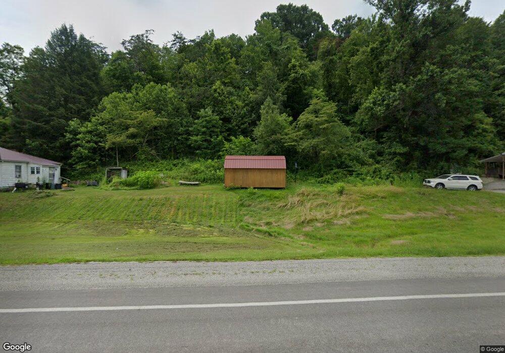
2135 E Us Highway 60 Grayson, KY 41143
Estimated Value: $109,000 - $156,000
2
Beds
1
Bath
1,200
Sq Ft
$105/Sq Ft
Est. Value
About This Home
This home is located at 2135 E Us Highway 60, Grayson, KY 41143 and is currently estimated at $125,851, approximately $104 per square foot. 2135 E Us Highway 60 is a home located in Carter County with nearby schools including Prichard Elementary School, East Carter Middle School, and East Carter County High School.
Ownership History
Date
Name
Owned For
Owner Type
Purchase Details
Closed on
Apr 15, 2023
Sold by
Carter Circuit Court
Bought by
Rtlf-Ky Llc
Current Estimated Value
Purchase Details
Closed on
Apr 18, 2022
Sold by
Carter Circuit Court
Bought by
Rtlf-Ky Llc
Purchase Details
Closed on
Jul 30, 2009
Sold by
Conley Danny and Conley Mary
Bought by
Conley Gary
Create a Home Valuation Report for This Property
The Home Valuation Report is an in-depth analysis detailing your home's value as well as a comparison with similar homes in the area
Purchase History
| Date | Buyer | Sale Price | Title Company |
|---|---|---|---|
| Rtlf-Ky Llc | $466,600 | None Listed On Document | |
| Rtlf-Ky Llc | $379,260 | -- | |
| Conley Gary | $43,000 | None Available |
Source: Public Records
Tax History
| Year | Tax Paid | Tax Assessment Tax Assessment Total Assessment is a certain percentage of the fair market value that is determined by local assessors to be the total taxable value of land and additions on the property. | Land | Improvement |
|---|---|---|---|---|
| 2024 | $450 | $52,440 | $0 | $0 |
| 2023 | $452 | $52,440 | $0 | $0 |
| 2022 | $372 | $43,000 | $0 | $0 |
| 2021 | $379 | $43,000 | $0 | $0 |
| 2020 | $380 | $43,000 | $5,000 | $38,000 |
| 2019 | $379 | $43,000 | $5,000 | $38,000 |
| 2018 | $379 | $43,000 | $5,000 | $38,000 |
| 2017 | $362 | $43,000 | $5,000 | $38,000 |
| 2016 | $361 | $43,000 | $5,000 | $38,000 |
| 2015 | $353 | $43,000 | $5,000 | $38,000 |
| 2014 | $353 | $43,000 | $10,000 | $33,000 |
| 2011 | $347 | $43,000 | $10,000 | $33,000 |
Source: Public Records
Map
Nearby Homes
- 102 Wildcat Dr
- 2659 E US Highway 60
- 76 Cutter Dr
- 0 Upper Stinson Rd
- Lot #2 Greenbrier Plantations Phase 1
- Lot #10 Greenbrier Plantations Phase 1
- Lot #7 Greenbrier Plantations Phase 1
- Lot #15 Greenbrier Plantations Phase 1
- Lot #13 Greenbrier Plantations Phase 1
- Lot #11 Greenbrier Plantations Phase 1
- 3.95 acres Plantation Dr
- 1180 E Maple St
- 817 Cherrywood Ln
- 100 Driftwood Ln
- Campbell Lane Empress Dr
- 0 Sorghum Dr
- 0 Arabian Ln
- 218 Fox Run Rd
- 710 Elm St
- 1010 Canoe Run
- 2040 E Us Highway 60
- 2180 E Us Highway 60
- 431 Ison Rd
- 1970 E Us Highway 60
- 2186 E Us Highway 60
- 2221 E Us Highway 60
- 0 Cantrell Ln
- 46 Cantrell Ln
- 24 Cantrell Ln
- 89 Damron Mayo Rd
- 1920 E Us Highway 60
- 2357 E Us Highway 60
- 40 Damron Mayo Rd
- 77 B and L Ln
- 1899 E Midland Trail
- 111 Damron Mayo Rd
- 176 Beckwith Branch
- 122 Beckwith Branch
- 127 Damron Mayo Rd
- 110 Damron Mayo Rd
Your Personal Tour Guide
Ask me questions while you tour the home.