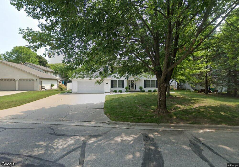
2135 Gloucester Dr Green Bay, WI 54304
Westside NeighborhoodEstimated Value: $382,000 - $481,000
--
Bed
--
Bath
--
Sq Ft
0.3
Acres
About This Home
This home is located at 2135 Gloucester Dr, Green Bay, WI 54304 and is currently estimated at $439,148. 2135 Gloucester Dr is a home located in Brown County with nearby schools including King Elementary School, Lombardi Middle School, and Southwest High School.
Ownership History
Date
Name
Owned For
Owner Type
Purchase Details
Closed on
May 12, 2021
Sold by
Poehls William J and Poehls Patti J
Bought by
Poehls William J and Poehls Patti J
Current Estimated Value
Purchase Details
Closed on
Dec 31, 2002
Sold by
Taft Wayne D and Taft Heddy T
Bought by
Poehls William J and Poehls Patti J
Home Financials for this Owner
Home Financials are based on the most recent Mortgage that was taken out on this home.
Original Mortgage
$126,000
Outstanding Balance
$54,184
Interest Rate
6.13%
Estimated Equity
$384,964
Create a Home Valuation Report for This Property
The Home Valuation Report is an in-depth analysis detailing your home's value as well as a comparison with similar homes in the area
Home Values in the Area
Average Home Value in this Area
Purchase History
| Date | Buyer | Sale Price | Title Company |
|---|---|---|---|
| Poehls William J | -- | None Available | |
| Poehls William J | $188,500 | Evans Title |
Source: Public Records
Mortgage History
| Date | Status | Borrower | Loan Amount |
|---|---|---|---|
| Open | Poehls William J | $126,000 |
Source: Public Records
Tax History Compared to Growth
Tax History
| Year | Tax Paid | Tax Assessment Tax Assessment Total Assessment is a certain percentage of the fair market value that is determined by local assessors to be the total taxable value of land and additions on the property. | Land | Improvement |
|---|---|---|---|---|
| 2024 | $5,930 | $312,400 | $50,700 | $261,700 |
| 2023 | $5,690 | $312,400 | $50,700 | $261,700 |
| 2022 | $5,545 | $312,400 | $50,700 | $261,700 |
| 2021 | $4,652 | $200,000 | $38,500 | $161,500 |
| 2020 | $4,685 | $200,000 | $38,500 | $161,500 |
| 2019 | $4,548 | $200,000 | $38,500 | $161,500 |
| 2018 | $4,437 | $200,000 | $38,500 | $161,500 |
| 2017 | $4,368 | $200,000 | $38,500 | $161,500 |
| 2016 | $4,302 | $200,000 | $38,500 | $161,500 |
| 2015 | $4,391 | $200,000 | $38,500 | $161,500 |
| 2014 | $4,549 | $200,000 | $38,500 | $161,500 |
| 2013 | $4,549 | $200,000 | $38,500 | $161,500 |
Source: Public Records
Map
Nearby Homes
- 2768 Independence Dr
- 1680 Cormier Rd
- 2060 Wintergreen Ct
- 2044 Ann Ln
- 1570 Mesa Dr
- 2466 Parkwood Dr
- 1433 Baumgart Rd Unit 1435
- 2550 He Nis Ra Ln
- 3023 Crusade Ln
- 1445 Cormier Rd
- 1940 Renaissance Ct
- 2445 Basswood St
- 1439 Cormier Rd
- 2549 Babcock Rd Unit 2551
- 1514 Ashley Ct
- 1973 Knotty Pine Dr
- 2441 Matchwood Ln
- 2689 Clive St
- 2031 Bradbury Ln
- 1387 Cormier Rd
- 2777 Yorktown Dr
- 2776 Charleston Dr
- 2768 Charleston Dr
- 2769 Yorktown Dr
- 2134 Gloucester Dr
- 2760 Charleston Dr
- 2763 Yorktown Dr
- 2140 Gloucester Dr
- 2128 Gloucester Dr
- 2772 Yorktown Dr
- 2775 Charleston Dr
- 2780 Yorktown Dr
- 2155 Gloucester Dr
- 2144 Gloucester Dr
- 2788 Yorktown Dr
- 2767 Charleston Dr
- 2756 Charleston Dr
- 2755 Yorktown Dr
- 2152 Gloucester Dr
- 2761 Charleston Dr