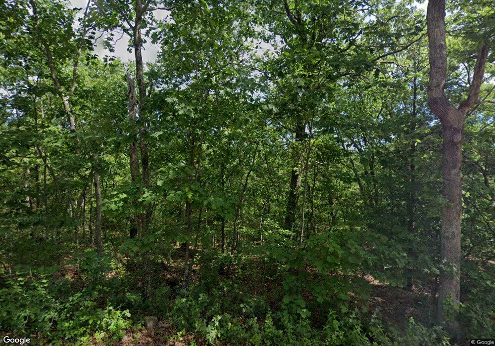
2135 Loughboro Rd Park Hills, MO 63601
Estimated Value: $189,611 - $275,000
--
Bed
1
Bath
--
Sq Ft
141
Acres
About This Home
This home is located at 2135 Loughboro Rd, Park Hills, MO 63601 and is currently estimated at $232,306. 2135 Loughboro Rd is a home located in St. Francois County with nearby schools including Central Elementary School, West Elementary School, and Central Middle School.
Ownership History
Date
Name
Owned For
Owner Type
Purchase Details
Closed on
Sep 25, 2020
Sold by
Williams Michael R and Williams Jody L
Bought by
Cincotta Salvatore
Current Estimated Value
Home Financials for this Owner
Home Financials are based on the most recent Mortgage that was taken out on this home.
Original Mortgage
$479,000
Outstanding Balance
$344,274
Interest Rate
2.9%
Mortgage Type
Construction
Estimated Equity
-$111,968
Purchase Details
Closed on
Dec 26, 2002
Sold by
Mohamed Mountassir
Bought by
Williams Michael R and Williams Jodi L
Create a Home Valuation Report for This Property
The Home Valuation Report is an in-depth analysis detailing your home's value as well as a comparison with similar homes in the area
Home Values in the Area
Average Home Value in this Area
Purchase History
| Date | Buyer | Sale Price | Title Company |
|---|---|---|---|
| Cincotta Salvatore | $598,750 | -- | |
| Williams Michael R | -- | -- |
Source: Public Records
Mortgage History
| Date | Status | Borrower | Loan Amount |
|---|---|---|---|
| Open | Cincotta Salvatore | $479,000 |
Source: Public Records
Tax History Compared to Growth
Tax History
| Year | Tax Paid | Tax Assessment Tax Assessment Total Assessment is a certain percentage of the fair market value that is determined by local assessors to be the total taxable value of land and additions on the property. | Land | Improvement |
|---|---|---|---|---|
| 2024 | $321 | $5,910 | $2,840 | $3,070 |
| 2023 | $321 | $5,910 | $2,840 | $3,070 |
| 2022 | $321 | $5,910 | $2,840 | $3,070 |
| 2021 | $318 | $5,910 | $2,840 | $3,070 |
| 2020 | $278 | $5,050 | $1,980 | $3,070 |
| 2019 | $279 | $5,050 | $1,980 | $3,070 |
| 2018 | -- | $5,120 | $2,050 | $3,070 |
| 2017 | $286 | $5,120 | $2,050 | $3,070 |
| 2016 | $286 | $5,120 | $0 | $0 |
| 2015 | -- | $5,120 | $0 | $0 |
| 2014 | -- | $5,070 | $0 | $0 |
| 2013 | -- | $5,070 | $0 | $0 |
Source: Public Records
Map
Nearby Homes
- 31 Simms Rd
- 21 Simms Rd
- 2566 Watson Rd
- 2718 Watson Rd
- 2979 Sherrill Rd
- 32 Rivermines St
- 2920 Arnoldi Rd
- 3120 2nd St
- 3255 Rock Rd
- 308 Blackberry Ln
- Merle Street Merle St
- 512 Odell Ave
- 818 Sherwood Dr
- 2698 Henson Rd
- 639 Olive Rd
- 807 Mulberry St
- 700 Mulberry St
- 0 Mulberry St Unit MAR24064498
- 1158 Mulberry St
- 412 S Firman St
- 2060 Loughboro Rd
- 2050 Loughboro Rd
- 2037 Riverbend Dr
- 2200 Riverbend Ct
- 2150 Loughboro Rd
- 2155 Loughboro Rd
- 1006 Ritter Creek Ln
- 1024 Ritter Creek Ln
- 1030 Ritter Creek Ln
- 1024 Ritter Creek
- 1030 Ritter Creek
- 0 Ritter Creek Ln Unit 9523780
- 21 Ritter Creek Ln
- 27 Ritter Creek Ln
- 1055 Ritter Creek Ln
- 1036 Ritter Creek Ln
- 1226 Meadow Lake Ln
- 1048 Ritter Creek Ln
- 1300 Meadow Spur Ln
- 1207 Meadow Lake Ln
