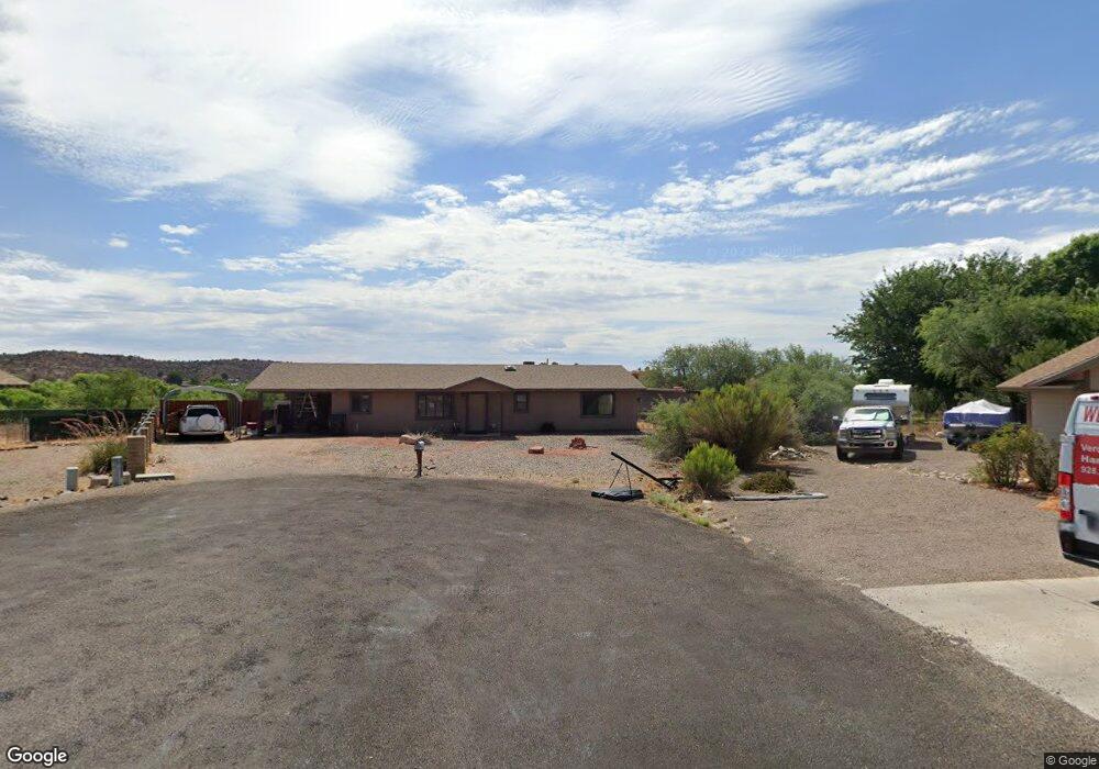
2135 S Reno Cir Cottonwood, AZ 86326
Estimated Value: $383,000 - $393,742
3
Beds
--
Bath
1,700
Sq Ft
$228/Sq Ft
Est. Value
About This Home
This home is located at 2135 S Reno Cir, Cottonwood, AZ 86326 and is currently estimated at $387,686, approximately $228 per square foot. 2135 S Reno Cir is a home located in Yavapai County with nearby schools including Dr Daniel Bright Elementary School, Cottonwood Elementary School, and Cottonwood Community School.
Ownership History
Date
Name
Owned For
Owner Type
Purchase Details
Closed on
Aug 10, 2000
Sold by
Gillson Richard E and Gillson Ollie Frances
Bought by
Drake Chad A and Drake Kodi L
Current Estimated Value
Home Financials for this Owner
Home Financials are based on the most recent Mortgage that was taken out on this home.
Original Mortgage
$99,750
Outstanding Balance
$35,938
Interest Rate
8.13%
Mortgage Type
Seller Take Back
Estimated Equity
$351,748
Create a Home Valuation Report for This Property
The Home Valuation Report is an in-depth analysis detailing your home's value as well as a comparison with similar homes in the area
Home Values in the Area
Average Home Value in this Area
Purchase History
| Date | Buyer | Sale Price | Title Company |
|---|---|---|---|
| Drake Chad A | $105,000 | Transnation Title Insurance |
Source: Public Records
Mortgage History
| Date | Status | Borrower | Loan Amount |
|---|---|---|---|
| Open | Drake Chad A | $99,750 |
Source: Public Records
Tax History Compared to Growth
Tax History
| Year | Tax Paid | Tax Assessment Tax Assessment Total Assessment is a certain percentage of the fair market value that is determined by local assessors to be the total taxable value of land and additions on the property. | Land | Improvement |
|---|---|---|---|---|
| 2026 | $1,759 | $35,558 | -- | -- |
| 2024 | $1,690 | $35,558 | -- | -- |
| 2023 | $1,690 | $28,414 | $3,622 | $24,792 |
| 2022 | $1,661 | $23,388 | $3,082 | $20,306 |
| 2021 | $1,736 | $22,097 | $3,224 | $18,873 |
| 2020 | $1,704 | $0 | $0 | $0 |
| 2019 | $1,674 | $0 | $0 | $0 |
| 2018 | $1,606 | $0 | $0 | $0 |
| 2017 | $1,535 | $0 | $0 | $0 |
| 2016 | $1,497 | $0 | $0 | $0 |
| 2015 | $1,481 | $0 | $0 | $0 |
| 2014 | -- | $0 | $0 | $0 |
Source: Public Records
Map
Nearby Homes
- 4887 E Comanche Dr
- 4593 E Silver Leaf Trail
- 4586 E Diablo Dr
- 4547 E Diablo Dr
- 2234 S Eastern Dr
- 4506 E Silver Leaf Trail
- 2366 Eastern Dr
- 2362 S Lariat Cir
- 2306 S Eastern Dr
- 2527 S Rio Verde Dr
- 2314 S Valley Dr
- 2319 S Eastern Dr Unit 670
- 2320 S Eastern Dr Unit 669
- 4253 E Mission Ln
- 4027 E Sabino Trail
- 4000 E Mustang Dr
- 4197 E Sabino Trail
- 2042 S Puma Cir
- 4359 E Butte Dr
- 2313 S Kachina Dr
- 2127 S Reno Cir
- 5067 E Comanche Dr Unit 5
- 4962 E Brigade Cir
- 5053 E Comanche Dr Unit 5
- 2122 S Reno Cir Unit 5
- 2119 S Reno Cir
- 4932 E Brigade Cir
- 5023 E Comanche Dr
- 5060 E Comanche Dr Unit 5
- 4879 E Horseshoe Ln
- 2111 S Reno Cir Unit 5
- 4902 E Brigade Cir Unit 5
- 5056 E Comanche Dr Unit 5
- 5113 E Comanche Dr Unit 5