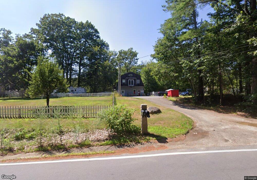
2135 State Rd Eliot, ME 03903
East Eliot NeighborhoodEstimated Value: $544,000 - $603,000
3
Beds
2
Baths
1,456
Sq Ft
$390/Sq Ft
Est. Value
About This Home
This home is located at 2135 State Rd, Eliot, ME 03903 and is currently estimated at $568,103, approximately $390 per square foot. 2135 State Rd is a home located in York County with nearby schools including Marshwood High School, Seacoast Waldorf School, and Berwick Academy.
Ownership History
Date
Name
Owned For
Owner Type
Purchase Details
Closed on
Feb 17, 2022
Sold by
Raitt Adam T
Bought by
Raitt Adam T and Raitt Brooke
Current Estimated Value
Purchase Details
Closed on
Apr 23, 2015
Sold by
Raitt Nelson R Est and Raitt
Bought by
Raitt Ernestine A
Create a Home Valuation Report for This Property
The Home Valuation Report is an in-depth analysis detailing your home's value as well as a comparison with similar homes in the area
Home Values in the Area
Average Home Value in this Area
Purchase History
| Date | Buyer | Sale Price | Title Company |
|---|---|---|---|
| Raitt Adam T | -- | None Available | |
| Raitt Adam T | -- | None Available | |
| Raitt Adam T | -- | None Available | |
| Raitt Adam T | -- | None Available | |
| Raitt Adam T | -- | None Available | |
| Raitt Ernestine A | -- | -- | |
| Raitt Ernestine A | -- | -- |
Source: Public Records
Tax History Compared to Growth
Tax History
| Year | Tax Paid | Tax Assessment Tax Assessment Total Assessment is a certain percentage of the fair market value that is determined by local assessors to be the total taxable value of land and additions on the property. | Land | Improvement |
|---|---|---|---|---|
| 2024 | $5,088 | $429,400 | $143,700 | $285,700 |
| 2023 | $4,927 | $402,200 | $137,300 | $264,900 |
| 2022 | $4,642 | $383,600 | $137,300 | $246,300 |
| 2021 | $4,946 | $366,400 | $126,700 | $239,700 |
| 2020 | $4,869 | $331,200 | $121,300 | $209,900 |
| 2019 | $6,638 | $331,200 | $121,300 | $209,900 |
| 2018 | $6,349 | $331,200 | $121,300 | $209,900 |
| 2017 | $5,855 | $174,000 | $121,300 | $52,700 |
| 2016 | $2,410 | $171,500 | $121,300 | $50,200 |
| 2015 | $2,401 | $171,500 | $121,300 | $50,200 |
| 2014 | $2,367 | $171,500 | $121,300 | $50,200 |
| 2013 | -- | $171,500 | $121,300 | $50,200 |
Source: Public Records
Map
Nearby Homes
- 35 Marshwood Dr
- 25 Heritage Dr
- 19 Heritage Dr
- 34 Imperial Dr
- 16 Imperial Dr
- 82 Stacy Ln
- Lot 2 Cedar Tbd
- Lot 1 Cedar Tbd
- TBD Cedar Rd
- 51 Woodland Hills
- 10 Broadfields Rd
- 19 Schooner Dr
- 708 River Rd Unit 3
- 708 River Rd Unit 2
- 1708 State Rd
- 0 Goodwin Rd Unit 1626810
- 126 Dover Point Rd
- 25 Fosters Dr
- 18 Governor Hill Rd
- 400 Gulf Rd
- 2134 State Rd
- 2131 State Rd
- 887 Harold L Dow Hwy
- 2112 State Rd
- 154 Worster Rd
- 306 Dow Hwy
- 310 Dow Hwy
- 196 Worster Rd
- 975 Goodwin Rd
- 977 Goodwin Rd
- 977 Goodwin Rd Unit A
- 968 Goodwin Rd
- 2102 State Rd
- 148 Worster Rd
- 369 Goodwin Rd
- 974 Goodwin Rd
- 861 Harold L Dow Hwy
- 985 Goodwin Rd
- 2098 State Rd
- 938 Goodwin Rd