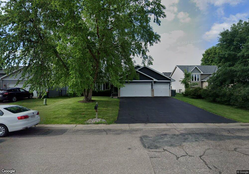
2136 Cattail Way Hudson, WI 54016
Estimated Value: $350,000 - $407,000
3
Beds
2
Baths
1,656
Sq Ft
$230/Sq Ft
Est. Value
About This Home
This home is located at 2136 Cattail Way, Hudson, WI 54016 and is currently estimated at $381,540, approximately $230 per square foot. 2136 Cattail Way is a home located in St. Croix County with nearby schools including River Crest Elementary School, Hudson Middle School, and Hudson High School.
Ownership History
Date
Name
Owned For
Owner Type
Purchase Details
Closed on
Aug 1, 2018
Sold by
Hussey Courtney C and Hussey Benjamin R
Bought by
Johnson Angela D
Current Estimated Value
Home Financials for this Owner
Home Financials are based on the most recent Mortgage that was taken out on this home.
Original Mortgage
$242,500
Outstanding Balance
$210,601
Interest Rate
4.5%
Mortgage Type
New Conventional
Estimated Equity
$170,939
Purchase Details
Closed on
Jul 17, 2009
Sold by
Rosen Richard E and Rosen Heather L
Bought by
Carnes Courtney A and Hussey Benjamin R
Home Financials for this Owner
Home Financials are based on the most recent Mortgage that was taken out on this home.
Original Mortgage
$190,486
Interest Rate
5.36%
Mortgage Type
FHA
Create a Home Valuation Report for This Property
The Home Valuation Report is an in-depth analysis detailing your home's value as well as a comparison with similar homes in the area
Home Values in the Area
Average Home Value in this Area
Purchase History
| Date | Buyer | Sale Price | Title Company |
|---|---|---|---|
| Johnson Angela D | $250,000 | Realty Title | |
| Carnes Courtney A | $194,000 | Multiple |
Source: Public Records
Mortgage History
| Date | Status | Borrower | Loan Amount |
|---|---|---|---|
| Open | Johnson Angela D | $242,500 | |
| Previous Owner | Carnes Courtney A | $190,486 |
Source: Public Records
Tax History Compared to Growth
Tax History
| Year | Tax Paid | Tax Assessment Tax Assessment Total Assessment is a certain percentage of the fair market value that is determined by local assessors to be the total taxable value of land and additions on the property. | Land | Improvement |
|---|---|---|---|---|
| 2024 | $43 | $255,300 | $52,000 | $203,300 |
| 2023 | $4,090 | $255,300 | $52,000 | $203,300 |
| 2022 | $3,806 | $255,300 | $52,000 | $203,300 |
| 2021 | $3,904 | $255,300 | $52,000 | $203,300 |
| 2020 | $3,549 | $255,300 | $52,000 | $203,300 |
| 2019 | $3,355 | $180,200 | $31,200 | $149,000 |
| 2018 | $3,347 | $180,200 | $31,200 | $149,000 |
| 2017 | $3,185 | $180,200 | $31,200 | $149,000 |
| 2016 | $3,185 | $180,200 | $31,200 | $149,000 |
| 2015 | $2,984 | $180,200 | $31,200 | $149,000 |
| 2014 | $2,928 | $180,200 | $31,200 | $149,000 |
| 2013 | $3,038 | $180,200 | $31,200 | $149,000 |
Source: Public Records
Map
Nearby Homes
- 2208 Cattail Way
- 1620 Namekagon St Unit 3
- 2300 Rosemary Curve Curve
- 1324 Carriage Dr Unit B
- 1720 Southpoint Ln
- 1522 Southpoint Dr
- 2110 Amanda Way
- 2236 Aftonn Cir
- 2363 Sydney Ln
- 2348 Sydney Ln
- 2356 Sydney Ln
- 2467 Sydney Ln
- 2359 Sydney Ln
- 2475 Sydney Ln
- 2233 Sharon Ln
- 2357 Sharon Ln
- 2461 Sharon Ln
- 2225 Sharon Ln
- 2229 Sharon Ln
- 2477 Sharon Ln
- 2140 Cattail Way
- 2132 Cattail Way
- 2137 Thistle Way
- 2141 Thistle Way
- 2133 Thistle Way
- 2128 Cattail Way
- 2144 Cattail Way
- 2145 Thistle Way
- 2129 Thistle Way
- 2133 Cattail Way
- 2124 Cattail Way
- 2148 Cattail Way
- 2129 Cattail Way
- 2149 Thistle Way
- 2125 Thistle Way
- 2145 Cattail Way
- 2125 Cattail Way
- 1800 Lillian Dr
- 2120 Cattail Way
- 1801 Lillian Dr