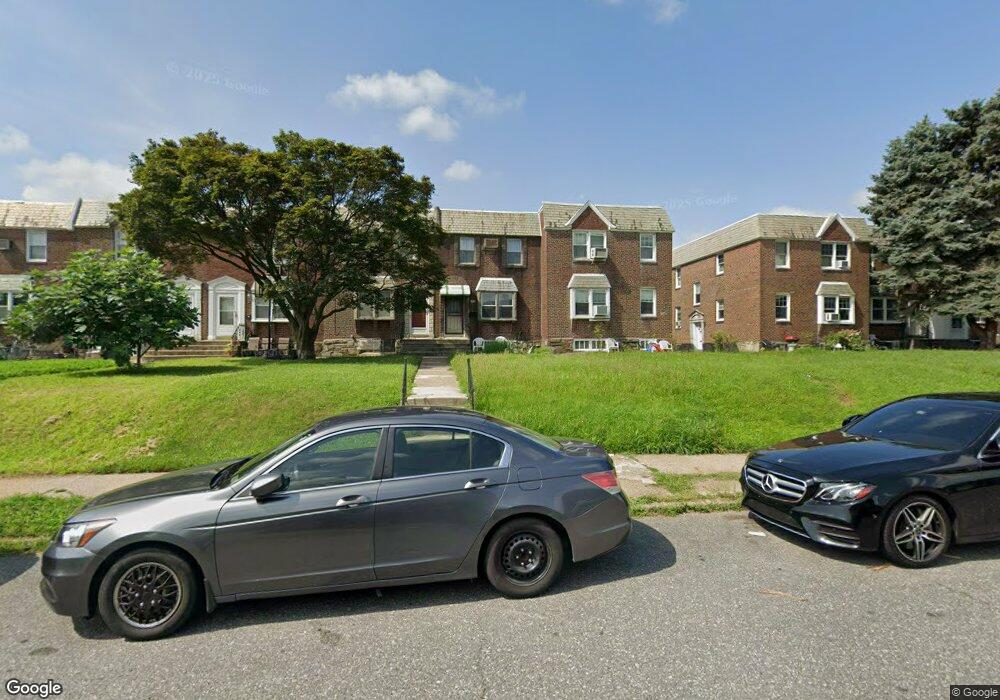
2136 Longshore Ave Philadelphia, PA 19149
Castor Gardens NeighborhoodEstimated Value: $236,919 - $276,000
3
Beds
1
Bath
1,224
Sq Ft
$214/Sq Ft
Est. Value
About This Home
This home is located at 2136 Longshore Ave, Philadelphia, PA 19149 and is currently estimated at $261,480, approximately $213 per square foot. 2136 Longshore Ave is a home located in Philadelphia County with nearby schools including Solomon Solis-Cohen School, Castor Gardens Middle School, and Northeast High School.
Ownership History
Date
Name
Owned For
Owner Type
Purchase Details
Closed on
Nov 11, 2008
Sold by
Zheng Bao Zhu and Lin Zhong
Bought by
Zheng Bao Zhu
Current Estimated Value
Purchase Details
Closed on
Apr 15, 2005
Sold by
Sklar Barton D and Sklar Judith K
Bought by
Zheng Bao Zhu and Lin Zhong
Home Financials for this Owner
Home Financials are based on the most recent Mortgage that was taken out on this home.
Original Mortgage
$105,000
Interest Rate
5.87%
Mortgage Type
Fannie Mae Freddie Mac
Create a Home Valuation Report for This Property
The Home Valuation Report is an in-depth analysis detailing your home's value as well as a comparison with similar homes in the area
Home Values in the Area
Average Home Value in this Area
Purchase History
| Date | Buyer | Sale Price | Title Company |
|---|---|---|---|
| Zheng Bao Zhu | -- | None Available | |
| Zheng Bao Zhu | $150,000 | -- |
Source: Public Records
Mortgage History
| Date | Status | Borrower | Loan Amount |
|---|---|---|---|
| Closed | Zheng Bao Zhu | $105,000 |
Source: Public Records
Tax History Compared to Growth
Tax History
| Year | Tax Paid | Tax Assessment Tax Assessment Total Assessment is a certain percentage of the fair market value that is determined by local assessors to be the total taxable value of land and additions on the property. | Land | Improvement |
|---|---|---|---|---|
| 2025 | $3,026 | $255,600 | $51,120 | $204,480 |
| 2024 | $3,026 | $255,600 | $51,120 | $204,480 |
| 2023 | $3,026 | $216,200 | $43,240 | $172,960 |
| 2022 | $3,026 | $216,200 | $43,240 | $172,960 |
| 2021 | $2,117 | $0 | $0 | $0 |
| 2020 | $2,117 | $0 | $0 | $0 |
| 2019 | $2,031 | $0 | $0 | $0 |
| 2018 | $1,845 | $0 | $0 | $0 |
| 2017 | $1,845 | $0 | $0 | $0 |
| 2016 | $1,827 | $0 | $0 | $0 |
| 2015 | $1,748 | $0 | $0 | $0 |
| 2014 | -- | $131,800 | $28,534 | $103,266 |
| 2012 | -- | $15,968 | $2,076 | $13,892 |
Source: Public Records
Map
Nearby Homes
- 2119 Glenview St
- 2110 Longshore Ave
- 2169 Knorr St
- 2171 Disston St
- 6736 Leonard St
- 2248 Disston St
- 2241 Knorr St
- 2249 Knorr St
- 2257 Disston St
- 2011 Longshore Ave
- 7017 Calvert St
- 2140 Princeton Ave
- 2162 Princeton Ave
- 2206 Princeton Ave
- 6725 Eastwood St
- 2141 Fanshawe St
- 6749 E Roosevelt Blvd
- 2712 Knorr St
- 2711 Unruh Ave
- 6826 Sylvester St
- 2138 Longshore Ave
- 2134 Longshore Ave
- 2140 Longshore Ave
- 2132 Longshore Ave
- 2142 Longshore Ave
- 2144 Longshore Ave
- 2130 Longshore Ave
- 2137 Glenview St
- 2146 Longshore Ave
- 2128 Longshore Ave
- 2139 Glenview St
- 2143 Glenview St
- 2135 Glenview St
- 2141 Glenview St
- 2148 Longshore Ave
- 2126 Longshore Ave
- 2133 Glenview St
- 2145 Glenview St
- 2147 Glenview St
- 2150 Longshore Ave