2136 N 900 W Thorntown, IN 46071
Estimated Value: $495,000 - $643,000
2
Beds
2
Baths
2,292
Sq Ft
$247/Sq Ft
Est. Value
About This Home
This home is located at 2136 N 900 W, Thorntown, IN 46071 and is currently estimated at $565,467, approximately $246 per square foot. 2136 N 900 W is a home located in Boone County with nearby schools including Western Boone Junior/Senior High School.
Ownership History
Date
Name
Owned For
Owner Type
Purchase Details
Closed on
Dec 23, 2015
Sold by
Mckinney David J and Mckinney David Joe
Bought by
Mckinney David J and Mckinney Nicole L
Current Estimated Value
Purchase Details
Closed on
May 1, 2013
Sold by
Taylor Charles F
Bought by
Taylor George Thomas and Taylor Janice Kay
Create a Home Valuation Report for This Property
The Home Valuation Report is an in-depth analysis detailing your home's value as well as a comparison with similar homes in the area
Home Values in the Area
Average Home Value in this Area
Purchase History
| Date | Buyer | Sale Price | Title Company |
|---|---|---|---|
| Mckinney David J | -- | None Available | |
| Taylor George Thomas | -- | None Available |
Source: Public Records
Tax History Compared to Growth
Tax History
| Year | Tax Paid | Tax Assessment Tax Assessment Total Assessment is a certain percentage of the fair market value that is determined by local assessors to be the total taxable value of land and additions on the property. | Land | Improvement |
|---|---|---|---|---|
| 2025 | $3,034 | $453,600 | $44,300 | $409,300 |
| 2024 | $3,034 | $442,100 | $44,300 | $397,800 |
| 2023 | $3,463 | $420,700 | $44,300 | $376,400 |
| 2022 | $3,053 | $357,100 | $44,300 | $312,800 |
| 2021 | $2,958 | $326,800 | $44,300 | $282,500 |
| 2020 | $2,697 | $301,000 | $44,300 | $256,700 |
| 2019 | $2,700 | $303,600 | $44,300 | $259,300 |
| 2018 | $2,465 | $284,000 | $44,300 | $239,700 |
| 2017 | $2,357 | $280,500 | $44,300 | $236,200 |
| 2016 | $2,261 | $278,700 | $44,300 | $234,400 |
| 2014 | $1,903 | $253,700 | $44,300 | $209,400 |
| 2013 | $2,124 | $249,600 | $44,300 | $205,300 |
Source: Public Records
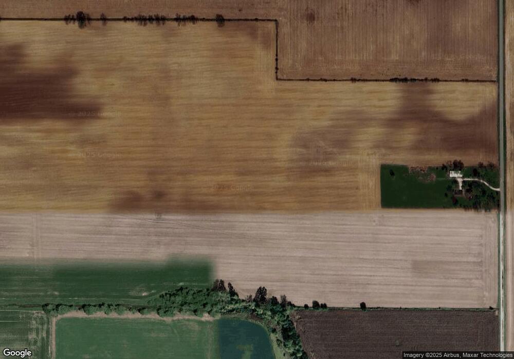
Map
Nearby Homes
- 7820 W State Road 32
- 440 Indiana 75
- 695 N 650 W
- 690 N 600 W
- 7159 W 50 S
- 5388 W Hazelrigg Rd
- 1321 Locust Place
- 1323 Locust Place
- 6139 Westfall Dr
- Juniper Plan at Westfall Place
- Chestnut Plan at Westfall Place
- Walnut Plan at Westfall Place
- Ironwood Plan at Westfall Place
- Empress Plan at Westfall Place
- Ashton Plan at Westfall Place
- Spruce Plan at Westfall Place
- Palmetto Plan at Westfall Place
- Bradford Plan at Westfall Place
- Aspen II Plan at Westfall Place
- Norway Plan at Westfall Place