Estimated Value: $499,000 - $544,000
3
Beds
2
Baths
2,004
Sq Ft
$265/Sq Ft
Est. Value
About This Home
This home is located at 2136 Us Highway 41 N, Perry, GA 31069 and is currently estimated at $530,964, approximately $264 per square foot. 2136 Us Highway 41 N is a home located in Houston County with nearby schools including Langston Road Elementary School, Perry Middle School, and Perry High School.
Ownership History
Date
Name
Owned For
Owner Type
Purchase Details
Closed on
Jun 20, 2023
Sold by
Wicks Doris Kelly
Bought by
D & D Middle Ga Enterprises Llc
Current Estimated Value
Purchase Details
Closed on
Aug 30, 2004
Sold by
Wicks John W Estate
Bought by
Wicks Doris K
Purchase Details
Closed on
Dec 1, 1972
Sold by
Dykes Harvey Maxwell
Bought by
Wicks John W and Doris K*
Purchase Details
Closed on
May 27, 1968
Sold by
Gray W G
Bought by
Dykes Harvey Maxwell
Purchase Details
Closed on
Jan 24, 1959
Bought by
Gray W G
Create a Home Valuation Report for This Property
The Home Valuation Report is an in-depth analysis detailing your home's value as well as a comparison with similar homes in the area
Home Values in the Area
Average Home Value in this Area
Purchase History
| Date | Buyer | Sale Price | Title Company |
|---|---|---|---|
| D & D Middle Ga Enterprises Llc | $425,000 | None Listed On Document | |
| Wicks Doris K | -- | -- | |
| Wicks John W | -- | -- | |
| Dykes Harvey Maxwell | -- | -- | |
| Gray W G | -- | -- |
Source: Public Records
Tax History Compared to Growth
Tax History
| Year | Tax Paid | Tax Assessment Tax Assessment Total Assessment is a certain percentage of the fair market value that is determined by local assessors to be the total taxable value of land and additions on the property. | Land | Improvement |
|---|---|---|---|---|
| 2024 | $1,995 | $83,400 | $26,560 | $56,840 |
| 2023 | $1,767 | $73,120 | $26,560 | $46,560 |
| 2022 | $1,616 | $68,840 | $26,560 | $42,280 |
| 2021 | $1,431 | $60,880 | $26,560 | $34,320 |
| 2020 | $1,370 | $58,120 | $26,560 | $31,560 |
| 2019 | $1,370 | $58,120 | $26,560 | $31,560 |
| 2018 | $1,370 | $58,120 | $26,560 | $31,560 |
| 2017 | $1,371 | $58,120 | $26,560 | $31,560 |
| 2016 | $1,384 | $58,560 | $26,560 | $32,000 |
| 2015 | $1,384 | $58,560 | $26,560 | $32,000 |
| 2014 | -- | $58,560 | $26,560 | $32,000 |
| 2013 | -- | $58,560 | $26,560 | $32,000 |
Source: Public Records
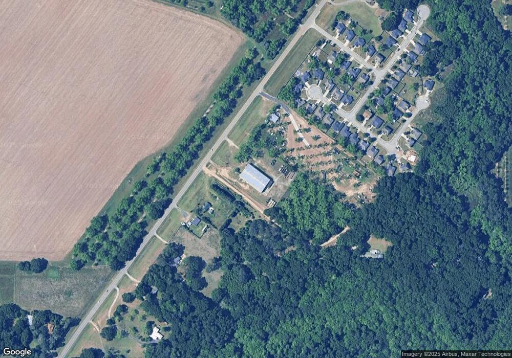
Map
Nearby Homes
- 0 Langston Rd Unit 16828609
- 2111 N Us Hwy 41
- 0 Hwy 41 & Langston Rd Unit M170042
- 149 MacK Thompson Road Common
- 118 Bramblewood Way
- 128 Bramblewood Ln
- 124 Bramblewood Ln
- 302 Brampton Way
- 0 MacK Thompson Rd Unit 253661
- 150 MacK Thompson Rd
- 309 E River Cane Run
- 210 Overton Dr
- 114 Sutton Dr
- 103 Breakwater Way
- 107 Breakwater Way
- 206 Sutton Dr
- 204 Sutton Dr
- 111 Breakwater Way
- 3054 Cellar Ln
- 3048 Cellar Ln
- 0 C Hodge Rd
- 0 Langston Rd Unit 51946
- 0 Langston Rd Unit 98024
- 0 Langston Rd Unit M141357
- 0 Langston Rd Unit M144254
- 0 Langston Rd Unit M141296
- 0 Langston Rd Unit 119021
- 0 Langston Rd
- 2140 N Hwy
- 0 Hwy 41 & Langston Road Hwy Unit 141391
- 2129 Us Highway 41 N
- 2140 Us Highway 41 N
- 2119 Us Highway 41 N
- 2111 U S 41
- 0 Highway 41 and Langston Rd Unit 7027097
- 2107 Us Highway 41 N
- 479 Langston Rd
- 110 Westbourne Way
- 2200 Us Highway 41 N
- 109 Westbourne Way