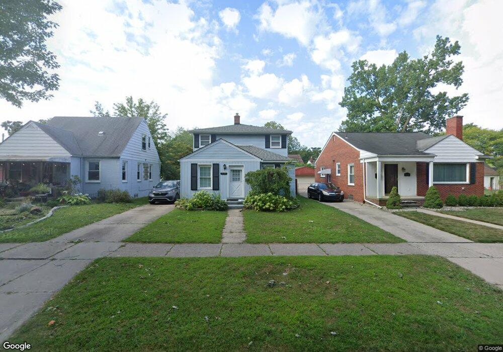
21361 Donaldson St Unit Bldg-Unit Dearborn, MI 48124
Ford Homes Historic District NeighborhoodEstimated Value: $272,000 - $321,000
3
Beds
2
Baths
1,630
Sq Ft
$180/Sq Ft
Est. Value
About This Home
This home is located at 21361 Donaldson St Unit Bldg-Unit, Dearborn, MI 48124 and is currently estimated at $293,134, approximately $179 per square foot. 21361 Donaldson St Unit Bldg-Unit is a home located in Wayne County with nearby schools including Whitmore-Bolles Elementary School, Smith Middle School, and Edsel Ford High School.
Ownership History
Date
Name
Owned For
Owner Type
Purchase Details
Closed on
Jul 19, 2024
Sold by
Qoshi Ylli
Bought by
Tai Amir
Current Estimated Value
Home Financials for this Owner
Home Financials are based on the most recent Mortgage that was taken out on this home.
Original Mortgage
$220,000
Outstanding Balance
$217,352
Interest Rate
6.95%
Mortgage Type
New Conventional
Estimated Equity
$75,782
Purchase Details
Closed on
Jun 22, 2018
Sold by
Mb Financial Bank N A
Bought by
Qoshi Ylli
Purchase Details
Closed on
Jul 20, 2017
Sold by
Yanez Jose R and Yanez Rosalena
Bought by
Mb Financial Bank Na
Purchase Details
Closed on
Aug 31, 1998
Sold by
Mlalli Raymond
Bought by
Yanez Yanez R
Create a Home Valuation Report for This Property
The Home Valuation Report is an in-depth analysis detailing your home's value as well as a comparison with similar homes in the area
Home Values in the Area
Average Home Value in this Area
Purchase History
| Date | Buyer | Sale Price | Title Company |
|---|---|---|---|
| Tai Amir | $275,000 | First Premier Title | |
| Qoshi Ylli | $100,000 | None Available | |
| Mb Financial Bank Na | $106,600 | None Available | |
| Yanez Yanez R | $142,301 | -- |
Source: Public Records
Mortgage History
| Date | Status | Borrower | Loan Amount |
|---|---|---|---|
| Open | Tai Amir | $220,000 |
Source: Public Records
Tax History Compared to Growth
Tax History
| Year | Tax Paid | Tax Assessment Tax Assessment Total Assessment is a certain percentage of the fair market value that is determined by local assessors to be the total taxable value of land and additions on the property. | Land | Improvement |
|---|---|---|---|---|
| 2025 | $3,540 | $107,700 | $0 | $0 |
| 2024 | $3,540 | $96,400 | $0 | $0 |
| 2023 | $3,680 | $91,500 | $0 | $0 |
| 2022 | $3,931 | $81,900 | $0 | $0 |
| 2021 | $4,380 | $75,200 | $0 | $0 |
| 2019 | $4,405 | $69,800 | $0 | $0 |
| 2018 | $3,942 | $59,100 | $0 | $0 |
| 2017 | $825 | $54,600 | $0 | $0 |
| 2016 | $3,363 | $51,700 | $0 | $0 |
| 2015 | $5,175 | $51,750 | $0 | $0 |
| 2013 | $5,125 | $51,250 | $0 | $0 |
| 2011 | -- | $58,250 | $0 | $0 |
Source: Public Records
Map
Nearby Homes
- 21353 Donaldson St
- 21230 Audette St
- 21725 Nowlin St
- 3245 Gertrude St
- 3260 Gertrude St
- 3321 Williams St
- 3333 Dudley St
- 3101 Roosevelt St
- 3340 Dudley St
- 21514 Francis St
- 22241 Olmstead St
- 22205 Columbia St
- 22200 Gregory St
- 22306 Nowlin St
- 22101 Francis St
- 22334 Nowlin St
- 2744 Pardee Ave
- 3621 Gertrude St
- 3004 Lincoln St
- 21732 Tenny St
- 21361 Donaldson St
- 21369 Donaldson St
- 21345 Donaldson St
- 21385 Donaldson St
- 21337 Donaldson St Unit Bldg-Unit
- 21337 Donaldson St
- 21372 Audette St
- 21376 Audette St
- 21350 Audette St
- 21344 Audette St
- 21329 Donaldson St
- 21382 Audette St
- 21336 Audette St
- 21321 Donaldson St
- 21328 Audette St Unit Bldg-Unit
- 21328 Audette St
- 21501 Donaldson St
- 21313 Donaldson St
- 21320 Audette St
- 21500 Audette St