2137 Antis Rd Altoona, PA 16601
Estimated Value: $310,000 - $409,000
--
Bed
--
Bath
2,726
Sq Ft
$129/Sq Ft
Est. Value
About This Home
This home is located at 2137 Antis Rd, Altoona, PA 16601 and is currently estimated at $350,649, approximately $128 per square foot. 2137 Antis Rd is a home located in Blair County with nearby schools including Lewis M. Myers Elementary School, Bellwood Antis Middle School, and Bellwood-Antis High School.
Ownership History
Date
Name
Owned For
Owner Type
Purchase Details
Closed on
Apr 30, 2015
Sold by
Rickabaugh Charles E and Rickabaugh Sharon L
Bought by
Simon Marlana and Kovach Robert J
Current Estimated Value
Home Financials for this Owner
Home Financials are based on the most recent Mortgage that was taken out on this home.
Original Mortgage
$164,000
Outstanding Balance
$126,705
Interest Rate
3.76%
Mortgage Type
New Conventional
Estimated Equity
$223,944
Create a Home Valuation Report for This Property
The Home Valuation Report is an in-depth analysis detailing your home's value as well as a comparison with similar homes in the area
Home Values in the Area
Average Home Value in this Area
Purchase History
| Date | Buyer | Sale Price | Title Company |
|---|---|---|---|
| Simon Marlana | $222,000 | None Available |
Source: Public Records
Mortgage History
| Date | Status | Borrower | Loan Amount |
|---|---|---|---|
| Open | Simon Marlana | $164,000 |
Source: Public Records
Tax History Compared to Growth
Tax History
| Year | Tax Paid | Tax Assessment Tax Assessment Total Assessment is a certain percentage of the fair market value that is determined by local assessors to be the total taxable value of land and additions on the property. | Land | Improvement |
|---|---|---|---|---|
| 2025 | $4,061 | $235,800 | $25,200 | $210,600 |
| 2024 | $3,736 | $235,800 | $25,200 | $210,600 |
| 2023 | $3,505 | $235,800 | $25,200 | $210,600 |
| 2022 | $3,327 | $235,800 | $25,200 | $210,600 |
| 2021 | $3,327 | $235,800 | $25,200 | $210,600 |
| 2020 | $3,246 | $235,800 | $25,200 | $210,600 |
| 2019 | $3,168 | $235,800 | $25,200 | $210,600 |
| 2018 | $3,168 | $235,800 | $25,200 | $210,600 |
| 2017 | $27,260 | $235,800 | $25,200 | $210,600 |
| 2016 | $395 | $10,820 | $490 | $10,330 |
| 2015 | $395 | $10,820 | $490 | $10,330 |
| 2014 | $395 | $10,820 | $490 | $10,330 |
Source: Public Records
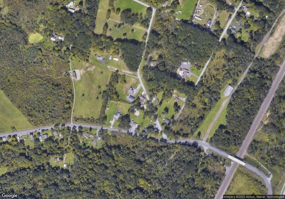
Map
Nearby Homes
- 000 Kerbaugh Rd Unit Parcel 49
- 00 Kerbaugh Rd Unit Parcel 54
- 222 Hazel Dr
- 4 Bells Ln
- 193 Moser Rd
- 150 Roadrunner Dr
- 1554 W 7th St
- 254 Asbury Ln Unit 2
- 137 N Hawthorne Dr
- 387 Asbury Ln
- 0 Foxglove Rd Unit PABR2000124
- 107 Linwood Dr
- 242 Brush Mountain Rd
- 000 Foxglove Rd
- Lot #5 E Dr
- 1400 N Tuckahoe St
- 1816 N 11th Ave
- 610 N 8th St
- 1504 W Logan St
- 184 Sandy Run Rd
- 2151 Antis Rd
- 2132 Antis Rd
- 480 Lower Riggles Gap Rd
- 496 Lower Riggles Gap Rd
- 468 Lower Riggles Gap Rd
- 139 Kerbaugh Rd
- 2114 Antis Rd
- 2158 Antis Rd
- 163 Kerbaugh Rd
- 2159 Antis Rd
- 29 Kerbaugh Rd
- 545 Lower Riggles Gap Rd
- 109 Grassmyer Ln
- 531 Lower Riggles Gap Rd
- 134 Grassmyer Ln
- 530 Lower Riggles Gap Rd
- 553 Lower Riggles Gap Rd
- 565 Lower Riggles Gap Rd
- 0 Lower Riggles Gap Rd
- 00 Lower Riggles Gap Rd