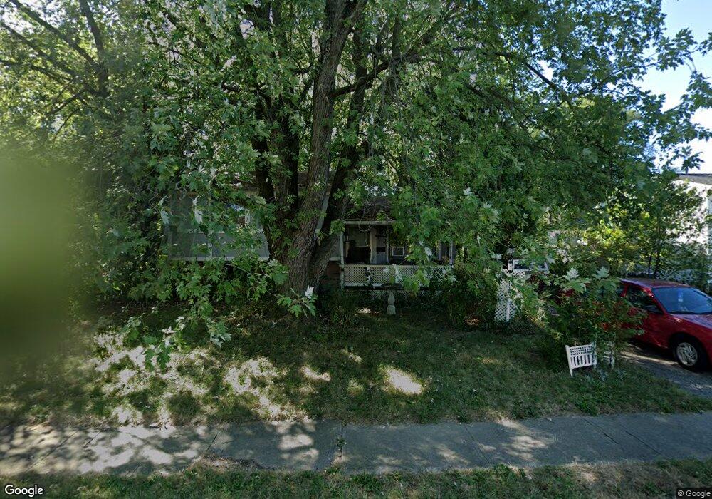
2137 Hampstead Dr Columbus, OH 43229
Northern Woods NeighborhoodEstimated Value: $228,000 - $243,000
3
Beds
2
Baths
1,300
Sq Ft
$181/Sq Ft
Est. Value
About This Home
This home is located at 2137 Hampstead Dr, Columbus, OH 43229 and is currently estimated at $235,656, approximately $181 per square foot. 2137 Hampstead Dr is a home located in Franklin County with nearby schools including Northgate Intermediate, Alpine Elementary School, and Woodward Park Middle School.
Ownership History
Date
Name
Owned For
Owner Type
Purchase Details
Closed on
Feb 28, 2025
Sold by
New Vision Group Llc
Bought by
Waters Deron and Enberg Kristina N
Current Estimated Value
Home Financials for this Owner
Home Financials are based on the most recent Mortgage that was taken out on this home.
Original Mortgage
$8,400
Outstanding Balance
$3,418
Interest Rate
6.96%
Mortgage Type
New Conventional
Estimated Equity
$232,238
Purchase Details
Closed on
Nov 8, 2024
Sold by
Sheriff Of Franklin County Ohio
Bought by
New Vision Group Llc
Purchase Details
Closed on
May 16, 1997
Sold by
Boysel Fred W and Boysel Phyllis M
Bought by
Boysel Fred W and Boysel Phyllis M
Purchase Details
Closed on
Oct 9, 1970
Bought by
Boysel Fred W
Create a Home Valuation Report for This Property
The Home Valuation Report is an in-depth analysis detailing your home's value as well as a comparison with similar homes in the area
Home Values in the Area
Average Home Value in this Area
Purchase History
| Date | Buyer | Sale Price | Title Company |
|---|---|---|---|
| Waters Deron | $240,000 | Ohio Real Title | |
| New Vision Group Llc | $134,500 | None Listed On Document | |
| New Vision Group Llc | $134,500 | None Listed On Document | |
| Boysel Fred W | -- | -- | |
| Boysel Fred W | -- | -- |
Source: Public Records
Mortgage History
| Date | Status | Borrower | Loan Amount |
|---|---|---|---|
| Open | Waters Deron | $8,400 | |
| Open | Waters Deron | $235,653 |
Source: Public Records
Tax History Compared to Growth
Tax History
| Year | Tax Paid | Tax Assessment Tax Assessment Total Assessment is a certain percentage of the fair market value that is determined by local assessors to be the total taxable value of land and additions on the property. | Land | Improvement |
|---|---|---|---|---|
| 2024 | $2,356 | $51,420 | $14,000 | $37,420 |
| 2023 | $2,691 | $51,415 | $14,000 | $37,415 |
| 2022 | $1,679 | $32,380 | $6,690 | $25,690 |
| 2021 | $1,682 | $32,380 | $6,690 | $25,690 |
| 2020 | $1,229 | $32,380 | $6,690 | $25,690 |
| 2019 | $1,104 | $26,950 | $5,600 | $21,350 |
| 2018 | $893 | $26,950 | $5,600 | $21,350 |
| 2017 | $929 | $26,950 | $5,600 | $21,350 |
| 2016 | $754 | $20,130 | $4,970 | $15,160 |
| 2015 | $684 | $20,130 | $4,970 | $15,160 |
| 2014 | $686 | $20,130 | $4,970 | $15,160 |
| 2013 | $887 | $23,660 | $5,845 | $17,815 |
Source: Public Records
Map
Nearby Homes
- 6048 Pinemoor St
- 2250 Webster Canyon Ct
- 2197 Bayfield Dr
- 2292 Laurelwood Dr Unit 2292L
- 6245 Sharon Woods Blvd
- 6355 Johnanne St
- 5732 Beechcroft Rd Unit B
- 5726 Beechcroft Rd Unit J
- 6448 Sharon Woods Blvd Unit B
- 2120 Willowick Dr Unit B
- 2677-2679 Blossom Ave
- 6496 Hearthstone Ave
- 5556 Parkshire Dr Unit 5556
- 2084 Brookfield Rd
- 6407 Skywae Dr
- 2727 Patrick Ave
- 6342 Bellmeadow Dr
- 1947 Rockdale Dr Unit 33
- 5458 Sumac Loop S
- 1752 Pine Tree St S Unit H
- 6012 Maple Canyon Ave
- 2151 Hampstead Dr
- 2138 Woodgate Ct
- 2144 Woodgate Ct
- 5996 Maple Canyon Ave
- 2157 Hampstead Dr
- 2136 Hampstead Dr
- 2144 Hampstead Dr
- 2128 Hampstead Dr
- 2150 Hampstead Dr
- 2148 Woodgate Ct
- 2156 Hampstead Dr
- 2169 Hampstead Dr
- 5997 Hampstead Ln
- 5991 Hampstead Ln
- 2164 Hampstead Dr
- 5985 Hampstead Ln
- 2137 Sprucefield Dr
- 6003 Hampstead Dr
- 2143 Sprucefield Dr