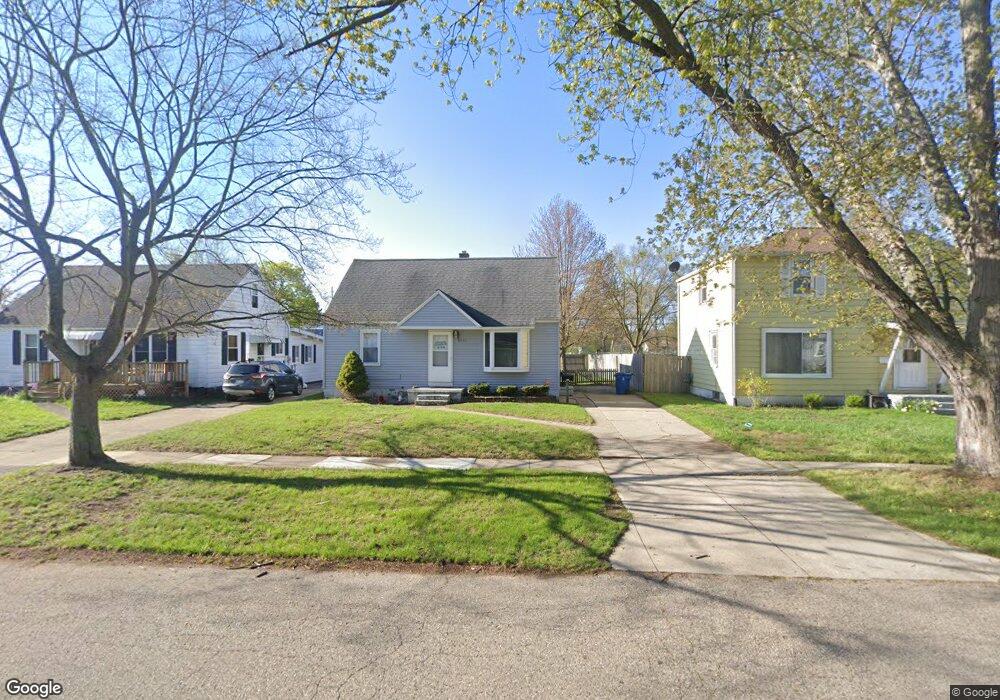
2137 Norman Ave Norton Shores, MI 49441
Estimated Value: $198,000 - $221,000
3
Beds
2
Baths
1,080
Sq Ft
$192/Sq Ft
Est. Value
About This Home
This home is located at 2137 Norman Ave, Norton Shores, MI 49441 and is currently estimated at $207,545, approximately $192 per square foot. 2137 Norman Ave is a home located in Muskegon County with nearby schools including Mona Shores High School, Muskegon Montessori Academy for Environmental Change, and St. Francis De Sales Elementary School.
Ownership History
Date
Name
Owned For
Owner Type
Purchase Details
Closed on
Jun 27, 2016
Sold by
Rabach Thomas
Bought by
Rabach 2 Llc
Current Estimated Value
Purchase Details
Closed on
Apr 23, 2009
Sold by
Wells Fargo Bank N A
Bought by
Hsbc Bank Usa National Association
Purchase Details
Closed on
Apr 17, 2009
Sold by
Calkins David J and Calkins Ruth Ann
Bought by
Wells Fargo Bank Na
Purchase Details
Closed on
Apr 8, 2008
Sold by
Calkins David J and Calkins Ruth Ann
Bought by
Calkins Ruth Ann
Create a Home Valuation Report for This Property
The Home Valuation Report is an in-depth analysis detailing your home's value as well as a comparison with similar homes in the area
Home Values in the Area
Average Home Value in this Area
Purchase History
| Date | Buyer | Sale Price | Title Company |
|---|---|---|---|
| Rabach 2 Llc | -- | Attorney | |
| Hsbc Bank Usa National Association | -- | Attorneys Title Agency Llc | |
| Wells Fargo Bank Na | $34,000 | None Available | |
| Calkins Ruth Ann | -- | None Available |
Source: Public Records
Tax History Compared to Growth
Tax History
| Year | Tax Paid | Tax Assessment Tax Assessment Total Assessment is a certain percentage of the fair market value that is determined by local assessors to be the total taxable value of land and additions on the property. | Land | Improvement |
|---|---|---|---|---|
| 2025 | $2,289 | $82,400 | $0 | $0 |
| 2024 | $1,591 | $76,000 | $0 | $0 |
| 2023 | $1,518 | $67,500 | $0 | $0 |
| 2022 | $2,085 | $58,400 | $0 | $0 |
| 2021 | $2,023 | $52,200 | $0 | $0 |
| 2020 | $1,999 | $46,800 | $0 | $0 |
| 2019 | $1,962 | $41,900 | $0 | $0 |
| 2018 | $1,916 | $39,400 | $0 | $0 |
| 2017 | $1,873 | $38,100 | $0 | $0 |
| 2016 | $1,288 | $34,700 | $0 | $0 |
| 2015 | -- | $33,100 | $0 | $0 |
| 2014 | $1,766 | $33,000 | $0 | $0 |
| 2013 | -- | $31,100 | $0 | $0 |
Source: Public Records
Map
Nearby Homes
- 2715 Liberty Rd
- 2686 Forest Hills Rd
- 2270 Norman Ave
- 2648 Bellevue Rd
- 2361 Norman Ave
- 2165 Letart Ave
- 1936 W Sherman Blvd
- 1965 Philo Ave
- 2278 Reneer Ave
- 2484 Lincoln St
- 2340 Cutler Ave
- 2280 Arbor Ave
- 1752 Bonneville Dr
- 2163 Harding Ave
- 2432 Blodgett St
- 2559 Letart Ave
- 2263 Lawnel Ave
- 1729 Winchester Dr
- 1705 Montague Ave
- 2245 Morton Ave
- 2137 Norman St
- 2145 Norman Ave
- 2129 Norman Ave
- 2121 Norman Ave
- 2153 Norman Ave
- 2142 Norman Ave
- 2161 Norman Ave
- 2150 Norman Ave
- 2105 Norman Ave
- 2755 Pinehurst Rd
- 2754 Forest Hills Rd
- 2169 Norman Ave
- 2754 Pinehurst Rd
- 2097 Norman Ave
- 2741 Pinehurst Rd
- 2089 Norman Ave
- 2746 Pinehurst Rd
- 2765 Forest Hills Rd
- 2742 Forest Hills Rd
- 2733 Pinehurst Rd