Estimated Value: $427,000 - $769,000
4
Beds
3
Baths
2,300
Sq Ft
$258/Sq Ft
Est. Value
About This Home
This home is located at 2137 State Highway Spur 34b, Firth, NE 68358 and is currently estimated at $593,952, approximately $258 per square foot. 2137 State Highway Spur 34b is a home located in Gage County with nearby schools including Norris Elementary School, Maple Hill Middle School, and Norris Middle School.
Ownership History
Date
Name
Owned For
Owner Type
Purchase Details
Closed on
Mar 24, 2006
Sold by
Bowman Melvin E and Bowman Cheryl J
Bought by
Bowman Zachary B and Bowman Jessica
Current Estimated Value
Create a Home Valuation Report for This Property
The Home Valuation Report is an in-depth analysis detailing your home's value as well as a comparison with similar homes in the area
Home Values in the Area
Average Home Value in this Area
Purchase History
| Date | Buyer | Sale Price | Title Company |
|---|---|---|---|
| Bowman Zachary B | -- | -- |
Source: Public Records
Tax History Compared to Growth
Tax History
| Year | Tax Paid | Tax Assessment Tax Assessment Total Assessment is a certain percentage of the fair market value that is determined by local assessors to be the total taxable value of land and additions on the property. | Land | Improvement |
|---|---|---|---|---|
| 2023 | $6,033 | $447,595 | $32,000 | $415,595 |
| 2022 | $6,436 | $396,555 | $32,000 | $364,555 |
| 2021 | $6,411 | $385,935 | $32,000 | $353,935 |
| 2020 | $6,112 | $365,020 | $32,000 | $333,020 |
| 2019 | $5,276 | $309,515 | $32,000 | $277,515 |
| 2018 | $5,099 | $296,300 | $32,000 | $264,300 |
| 2017 | $4,735 | $296,300 | $32,000 | $264,300 |
| 2016 | $4,633 | $296,300 | $32,000 | $264,300 |
| 2015 | $4,674 | $296,300 | $32,000 | $264,300 |
| 2014 | $4,909 | $296,300 | $32,000 | $264,300 |
Source: Public Records
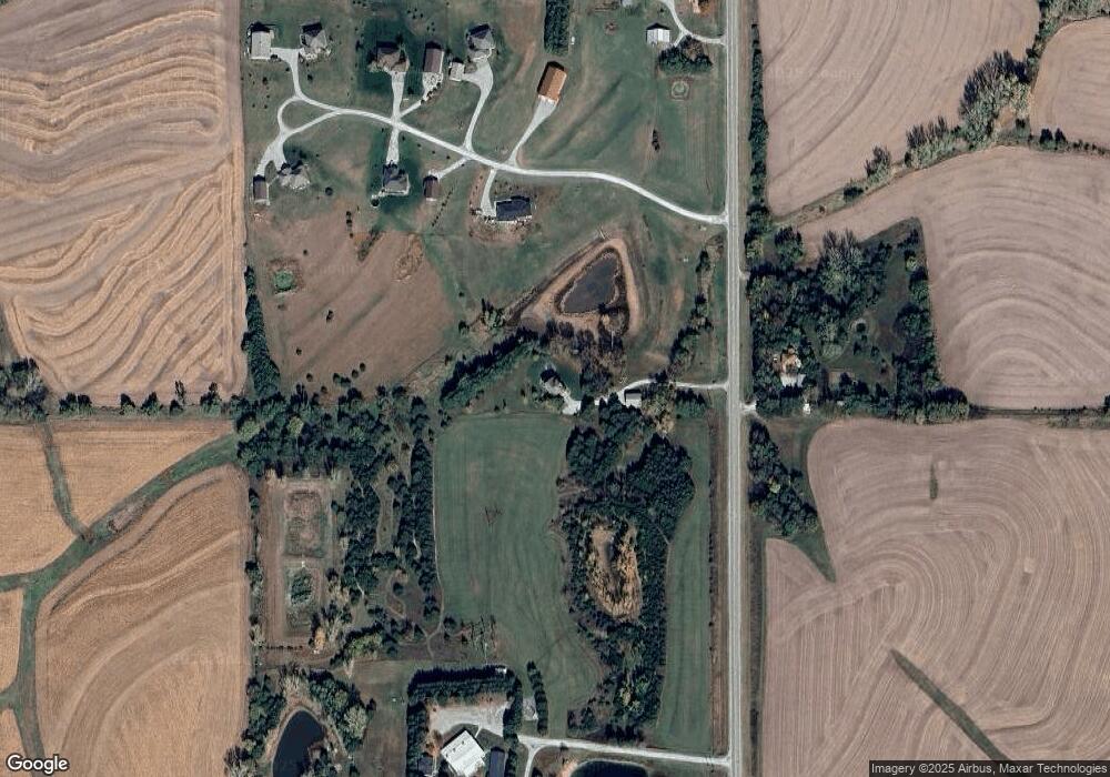
Map
Nearby Homes
- 2212 S 96th Rd
- 9929 Springlake Ln N
- 709 Russell St
- 29100 S 120th St
- 25401 S 82nd St
- 6500 Princeton Rd
- 0 Hwy 77 & W 4th St
- 7130 N Lakeside Ln
- 20.44 acres Pella Rd
- 1600 Pella Rd
- 837 Ash St
- 230 8th St
- 730 9th St
- 702 Spring St
- 22475 S 110th St
- 11101 Panama Rd
- 1712 E 12th St
- 21101 S 96th St
- 20050 S 96th St
- 108 Concord Ave
- 8035 Bowman Cir
- 7775 Bowman Cir
- 34 Hwy Bowman Cir
- 0 0 Bowman Circle {L6}
- 0 0 Bowman Circle {L4}
- 0 0 Bowman Circle {L7}
- 0 0 Bowman Circle {L3}
- 0 0 Bowman Circle {L5}
- 0 0 Bowman Circle {L2}
- 0 0 Bowman Circle {L1}
- 2098 State Highway Spur 34b
- 8100 Bowman Cir
- 7535 Bowman Cir
- 7900 Bowman Cir
- 7700 Bowman Cir
- 2349 State Highway Spur 34b
- 2349 State Highway Spur 34b Spur
- 7500 Bowman Cir
- 8114 E Ash Rd
- 9001 E Apple Rd