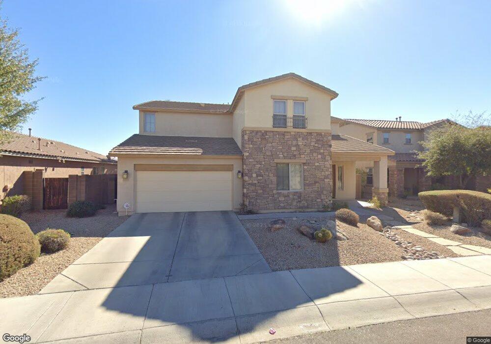
21379 N 77th Ln Peoria, AZ 85382
Estimated Value: $629,666 - $714,000
--
Bed
4
Baths
3,483
Sq Ft
$191/Sq Ft
Est. Value
About This Home
This home is located at 21379 N 77th Ln, Peoria, AZ 85382 and is currently estimated at $665,167, approximately $190 per square foot. 21379 N 77th Ln is a home located in Maricopa County with nearby schools including Frontier Elementary School, Sunrise Mountain High School, and Legacy Traditional School - Peoria.
Ownership History
Date
Name
Owned For
Owner Type
Purchase Details
Closed on
Jul 14, 2008
Sold by
Riverstone Group Llc
Bought by
Breese James W and Berce Christine L
Current Estimated Value
Home Financials for this Owner
Home Financials are based on the most recent Mortgage that was taken out on this home.
Original Mortgage
$386,952
Outstanding Balance
$249,634
Interest Rate
6.07%
Mortgage Type
New Conventional
Estimated Equity
$415,533
Create a Home Valuation Report for This Property
The Home Valuation Report is an in-depth analysis detailing your home's value as well as a comparison with similar homes in the area
Home Values in the Area
Average Home Value in this Area
Purchase History
| Date | Buyer | Sale Price | Title Company |
|---|---|---|---|
| Breese James W | $429,947 | Lawyers Title Insurance Corp |
Source: Public Records
Mortgage History
| Date | Status | Borrower | Loan Amount |
|---|---|---|---|
| Open | Breese James W | $386,952 |
Source: Public Records
Tax History Compared to Growth
Tax History
| Year | Tax Paid | Tax Assessment Tax Assessment Total Assessment is a certain percentage of the fair market value that is determined by local assessors to be the total taxable value of land and additions on the property. | Land | Improvement |
|---|---|---|---|---|
| 2025 | $3,073 | $38,869 | -- | -- |
| 2024 | $3,015 | $37,018 | -- | -- |
| 2023 | $3,015 | $48,670 | $9,730 | $38,940 |
| 2022 | $2,952 | $37,410 | $7,480 | $29,930 |
| 2021 | $3,157 | $35,150 | $7,030 | $28,120 |
| 2020 | $3,187 | $33,970 | $6,790 | $27,180 |
| 2019 | $3,086 | $31,800 | $6,360 | $25,440 |
| 2018 | $2,970 | $31,420 | $6,280 | $25,140 |
| 2017 | $2,973 | $29,860 | $5,970 | $23,890 |
| 2016 | $3,149 | $26,780 | $5,350 | $21,430 |
| 2015 | $2,947 | $26,370 | $5,270 | $21,100 |
Source: Public Records
Map
Nearby Homes
- 21527 N 78th Ln
- 7587 W Quail Ave
- 8010 W Adam Ave
- 8010 W Albert Ln
- 7556 W Crystal Rd
- 7813 W Vía Del Sol
- 8007 W Deanna Dr
- 21925 N 78th Dr
- 21078 N 74th Ln
- 21054 N 74th Ln
- 7435 W Trails Dr
- 20802 N 74th Ln
- 7670 W Sands Dr
- 7469 W Monona Dr
- 8201 W Adam Ave
- 21914 N 74th Ln
- 7464 W Potter Dr
- 21956 N 74th Ln
- 21927 N 74th Ln
- 7272 W Crystal Rd
- 21369 N 77th Ln
- 21389 N 77th Ln
- 21359 N 77th Ln
- 7753 W Lone Cactus Dr
- 21384 N 77th Ln
- 7755 W Lone Cactus Dr
- 21374 N 77th Ln
- 21347 N 77th Ln
- 7763 W Lone Cactus Dr
- 21364 N 77th Ln
- 21335 N 77th Ln
- 7778 W Adam Ave
- 7783 W Lone Cactus Dr
- 7761 W Adam Ave
- 21323 N 77th Ln
- 7773 W Adam Ave
- 7756 W Lone Cactus Dr
- 7758 W Lone Cactus Dr
- 7754 W Lone Cactus Dr
- 7768 W Lone Cactus Dr