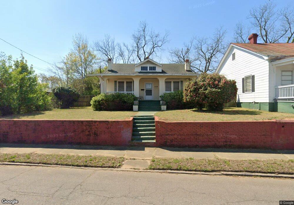
2138 Broad St Augusta, GA 30904
West End NeighborhoodEstimated Value: $101,000 - $136,088
3
Beds
1
Bath
1,630
Sq Ft
$73/Sq Ft
Est. Value
About This Home
This home is located at 2138 Broad St, Augusta, GA 30904 and is currently estimated at $119,022, approximately $73 per square foot. 2138 Broad St is a home located in Richmond County with nearby schools including Lake Forest Hills Elementary School, Johnson Magnet, and Tutt Middle School.
Ownership History
Date
Name
Owned For
Owner Type
Purchase Details
Closed on
Jun 30, 2023
Sold by
Cushman Betty Ann
Bought by
Lowery Timothy W and Key William O
Current Estimated Value
Home Financials for this Owner
Home Financials are based on the most recent Mortgage that was taken out on this home.
Original Mortgage
$50,000
Outstanding Balance
$20,353
Interest Rate
6.79%
Mortgage Type
New Conventional
Estimated Equity
$98,669
Purchase Details
Closed on
Sep 22, 2011
Sold by
Cushman Bobby Eugene
Bought by
Cushman Betty Ann
Purchase Details
Closed on
Nov 1, 1979
Create a Home Valuation Report for This Property
The Home Valuation Report is an in-depth analysis detailing your home's value as well as a comparison with similar homes in the area
Home Values in the Area
Average Home Value in this Area
Purchase History
| Date | Buyer | Sale Price | Title Company |
|---|---|---|---|
| Lowery Timothy W | $50,000 | -- | |
| Cushman Betty Ann | -- | -- | |
| -- | $25,000 | -- |
Source: Public Records
Mortgage History
| Date | Status | Borrower | Loan Amount |
|---|---|---|---|
| Open | Lowery Timothy W | $50,000 |
Source: Public Records
Tax History
| Year | Tax Paid | Tax Assessment Tax Assessment Total Assessment is a certain percentage of the fair market value that is determined by local assessors to be the total taxable value of land and additions on the property. | Land | Improvement |
|---|---|---|---|---|
| 2025 | $1,700 | $45,500 | $3,341 | $42,159 |
| 2024 | $1,700 | $20,000 | $1,480 | $18,520 |
| 2023 | $636 | $57,152 | $3,341 | $53,811 |
| 2022 | $586 | $37,283 | $3,341 | $33,942 |
| 2021 | $516 | $29,585 | $3,327 | $26,258 |
| 2020 | $529 | $30,258 | $4,000 | $26,258 |
| 2019 | $549 | $30,258 | $4,000 | $26,258 |
| 2018 | $552 | $30,258 | $4,000 | $26,258 |
| 2017 | $553 | $30,258 | $4,000 | $26,258 |
| 2016 | $553 | $30,258 | $4,000 | $26,258 |
| 2015 | $553 | $30,258 | $4,000 | $26,258 |
| 2014 | $583 | $30,258 | $4,000 | $26,258 |
Source: Public Records
Map
Nearby Homes
- 2063 Broad St
- 299 Milledge Rd
- 2025 Ellis St
- 2021 Ellis St
- 2200 Country Club Ct
- 2018 Greene St
- 513 Beaufort Dr
- 501 Milledge Rd Unit 9A
- 501 Milledge Rd Unit 14A
- 531 Carr St
- 1933 Telfair St
- 1925 Ellis St
- 600 Hickman Rd
- 1929 Watkins St
- 1916 Walker St
- 2015 Starnes St
- 1915 Watkins St
- 608 Eve St
- 1852 Hicks St
- 1850 Hicks St
- 2142 Broad St
- 2125 Welsh Ln
- 2148 Broad St
- 2152 Broad St
- 2153 Ellis St
- 2159 Ellis St
- 2151 Ellis St
- 2161 Ellis St
- 2149 Ellis St
- 2158 Broad St Unit B
- 2158 Broad St Unit C
- 2158 Broad St Unit D
- 2158 Broad St
- 2163 Ellis St
- 2147 Ellis St
- 2165 Ellis St
- 2149 Ellis St
- 2143 Ellis St
- 2167 Ellis St
- 2161 Ellis St
Your Personal Tour Guide
Ask me questions while you tour the home.