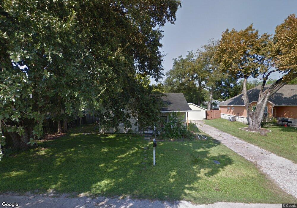
2138 San Antonio St Pearland, TX 77581
Estimated Value: $188,062 - $242,000
--
Bed
1
Bath
966
Sq Ft
$220/Sq Ft
Est. Value
About This Home
This home is located at 2138 San Antonio St, Pearland, TX 77581 and is currently estimated at $212,516, approximately $219 per square foot. 2138 San Antonio St is a home located in Brazoria County with nearby schools including Barbara Cockrell Elementary School, Leon H. Sablatura Middle School, and Pearland Junior High School West.
Ownership History
Date
Name
Owned For
Owner Type
Purchase Details
Closed on
Dec 26, 1995
Sold by
Anderson Richard L and Anderson Patricia Ann
Bought by
Ruiz Manuel and Ruiz Yolanda
Current Estimated Value
Home Financials for this Owner
Home Financials are based on the most recent Mortgage that was taken out on this home.
Original Mortgage
$44,650
Outstanding Balance
$1,210
Interest Rate
7.33%
Estimated Equity
$211,306
Create a Home Valuation Report for This Property
The Home Valuation Report is an in-depth analysis detailing your home's value as well as a comparison with similar homes in the area
Home Values in the Area
Average Home Value in this Area
Purchase History
| Date | Buyer | Sale Price | Title Company |
|---|---|---|---|
| Ruiz Manuel | -- | -- | |
| Anderson Richard L | -- | Statewide Title |
Source: Public Records
Mortgage History
| Date | Status | Borrower | Loan Amount |
|---|---|---|---|
| Open | Ruiz Manuel | $44,650 |
Source: Public Records
Tax History Compared to Growth
Tax History
| Year | Tax Paid | Tax Assessment Tax Assessment Total Assessment is a certain percentage of the fair market value that is determined by local assessors to be the total taxable value of land and additions on the property. | Land | Improvement |
|---|---|---|---|---|
| 2025 | $1,805 | $155,473 | $77,350 | $118,290 |
| 2023 | $1,805 | $128,490 | $50,630 | $121,340 |
| 2022 | $2,810 | $116,809 | $50,630 | $94,520 |
| 2021 | $2,736 | $117,390 | $43,880 | $73,510 |
| 2020 | $2,605 | $104,450 | $40,500 | $63,950 |
| 2019 | $2,368 | $87,760 | $40,500 | $47,260 |
| 2018 | $2,358 | $87,760 | $40,500 | $47,260 |
| 2017 | $2,294 | $84,940 | $33,750 | $51,190 |
| 2016 | $2,111 | $78,190 | $28,130 | $50,060 |
| 2014 | $1,632 | $72,640 | $28,130 | $44,510 |
Source: Public Records
Map
Nearby Homes
- 2102 Pearland Ave
- 4610 & 4612 W Orange St
- 2245 N Austin Ave
- 2321 Pearland Ave
- 4804 W Plum St
- 2315 Cedar St
- 2317 Cedar St
- 2312 Willow Blvd
- 6420 Tindarey Creek Ln
- 17828 S Highway 35
- 2322 Francis Dr
- 2422-2436 S Main St
- 4901 Shank Rd
- 5208 Cunningham Dr
- 4615 W Walnut St
- 2012 N Galveston Ave
- 2304 Lynn Dr
- 2505 S Houston Ave
- 2511 S Houston Ave
- 2515 S Houston Ave
- 2142 San Antonio St
- 2130 San Antonio St
- 4401 W Plum St
- 2126 San Antonio St
- 2135 Pearland Ave
- 2129 Pearland Ave
- 4405 W Plum St
- 2139 San Antonio St
- 2129 N Pearland Ave
- 2135 San Antonio St
- 2122 San Antonio St
- 2143 San Antonio St
- 2125 Pearland Ave
- 2131 San Antonio St
- 2131 N San Antonio St
- 2147 San Antonio St
- 2127 San Antonio St
- 2123 Pearland Ave
- 2118 San Antonio St
- 2123 San Antonio St