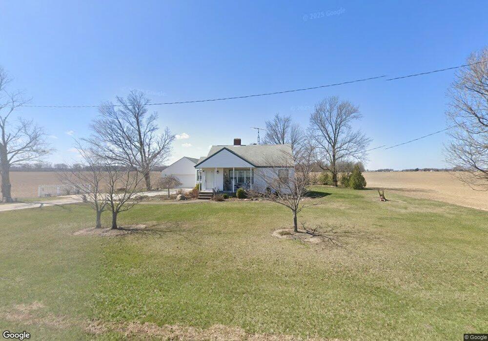
21380 State Route 115 Columbus Grove, OH 45830
Estimated Value: $188,121 - $222,000
4
Beds
1
Bath
1,612
Sq Ft
$123/Sq Ft
Est. Value
About This Home
This home is located at 21380 State Route 115, Columbus Grove, OH 45830 and is currently estimated at $198,030, approximately $122 per square foot. 21380 State Route 115 is a home located in Putnam County with nearby schools including Columbus Grove Elementary School, Columbus Grove Middle School, and Columbus Grove High School.
Ownership History
Date
Name
Owned For
Owner Type
Purchase Details
Closed on
Dec 1, 2021
Sold by
Halker David Harold and Halk Vicky
Bought by
Dh & Vl Properties Llc
Current Estimated Value
Purchase Details
Closed on
Jan 18, 2012
Sold by
Jacobs Tracy L and Jacobs Jim
Bought by
Wells Fargo Bank National Association
Create a Home Valuation Report for This Property
The Home Valuation Report is an in-depth analysis detailing your home's value as well as a comparison with similar homes in the area
Home Values in the Area
Average Home Value in this Area
Purchase History
| Date | Buyer | Sale Price | Title Company |
|---|---|---|---|
| Dh & Vl Properties Llc | -- | Klein Matthew L | |
| Wells Fargo Bank National Association | $56,666 | Attorney |
Source: Public Records
Tax History Compared to Growth
Tax History
| Year | Tax Paid | Tax Assessment Tax Assessment Total Assessment is a certain percentage of the fair market value that is determined by local assessors to be the total taxable value of land and additions on the property. | Land | Improvement |
|---|---|---|---|---|
| 2024 | $1,526 | $49,480 | $4,600 | $44,880 |
| 2023 | $1,626 | $40,150 | $3,580 | $36,570 |
| 2022 | $1,507 | $40,153 | $3,581 | $36,572 |
| 2021 | $1,524 | $40,150 | $3,580 | $36,570 |
| 2020 | $1,525 | $29,060 | $2,980 | $26,080 |
| 2019 | $1,320 | $35,580 | $3,580 | $32,000 |
| 2018 | $1,310 | $35,580 | $3,580 | $32,000 |
| 2017 | $1,049 | $35,580 | $3,580 | $32,000 |
| 2016 | $1,049 | $29,060 | $2,980 | $26,080 |
| 2015 | $1,054 | $29,060 | $2,980 | $26,080 |
| 2014 | $1,066 | $29,060 | $2,980 | $26,080 |
| 2013 | $1,084 | $29,060 | $2,980 | $26,080 |
Source: Public Records
Map
Nearby Homes
- 148 S Water St
- 147 Elm St
- 2525 W Lincoln Hwy
- 4150 W Lincoln Hwy
- 6585 Ottawa Rd
- 300 Sweaney Ave
- 309 Wall St
- 201 Wall St
- 11059 Ottawa Rd
- 220 Parklane Dr
- 3798 Kissing Hollow Dr
- 0 Fraunfelter Unit 307817
- 0 N Eastown Rd Unit 1034495
- 3456 Shearin Ave
- 308 Delphos Rd
- 3270 Bonnieview Dr
- 4080 Brookshore Dr
- 4050 Brookshore Dr
- 204 S Broadway St
- 205 S Broadway St
- 21496 State Route 115
- 21244 State Route 115
- 21505 State Route 115
- 21122 State Route 115
- 21694 State Route 115
- 21053 State Route 115
- 21021 State Route 115
- 21746 State Route 115
- 20960 State Route 115
- 21778 State Route 115
- 14314 Road U13
- 20938 Ohio 115
- 21457 Road 15u
- 20938 State Route 115
- 21565 Road 15u
- 20901 St Route Unit 115
- 20901 St Route
- 20896 State Route 115
- 15053 Old State Route 12