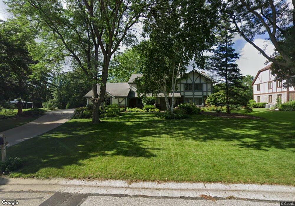
21380 Talbots Ln Brookfield, WI 53045
Estimated Value: $673,000 - $860,000
4
Beds
4
Baths
3,437
Sq Ft
$222/Sq Ft
Est. Value
About This Home
This home is located at 21380 Talbots Ln, Brookfield, WI 53045 and is currently estimated at $764,428, approximately $222 per square foot. 21380 Talbots Ln is a home located in Waukesha County with nearby schools including Brookfield Elementary School, Wisconsin Hills Middle School, and Brookfield Central High School.
Ownership History
Date
Name
Owned For
Owner Type
Purchase Details
Closed on
Sep 8, 1997
Sold by
Gaughan Kevin and Gaughan Kathleen B
Bought by
Taylor Thomas P and Taylor Penny L
Current Estimated Value
Home Financials for this Owner
Home Financials are based on the most recent Mortgage that was taken out on this home.
Original Mortgage
$210,000
Outstanding Balance
$27,378
Interest Rate
7.44%
Mortgage Type
Seller Take Back
Estimated Equity
$737,051
Create a Home Valuation Report for This Property
The Home Valuation Report is an in-depth analysis detailing your home's value as well as a comparison with similar homes in the area
Home Values in the Area
Average Home Value in this Area
Purchase History
| Date | Buyer | Sale Price | Title Company |
|---|---|---|---|
| Taylor Thomas P | $310,000 | -- |
Source: Public Records
Mortgage History
| Date | Status | Borrower | Loan Amount |
|---|---|---|---|
| Open | Taylor Thomas P | $210,000 |
Source: Public Records
Tax History
| Year | Tax Paid | Tax Assessment Tax Assessment Total Assessment is a certain percentage of the fair market value that is determined by local assessors to be the total taxable value of land and additions on the property. | Land | Improvement |
|---|---|---|---|---|
| 2024 | $7,516 | $665,200 | $135,000 | $530,200 |
| 2023 | $7,528 | $665,200 | $135,000 | $530,200 |
| 2022 | $7,403 | $512,400 | $130,000 | $382,400 |
| 2021 | $7,846 | $512,400 | $130,000 | $382,400 |
| 2020 | $8,160 | $512,400 | $130,000 | $382,400 |
| 2019 | $7,847 | $512,400 | $130,000 | $382,400 |
| 2018 | $7,815 | $496,400 | $140,000 | $356,400 |
| 2017 | $8,882 | $496,400 | $140,000 | $356,400 |
| 2016 | $7,913 | $496,400 | $140,000 | $356,400 |
| 2015 | $7,862 | $496,400 | $140,000 | $356,400 |
| 2014 | $7,875 | $496,400 | $140,000 | $356,400 |
| 2013 | $8,156 | $496,400 | $140,000 | $356,400 |
Source: Public Records
Map
Nearby Homes
- 2550 Harmony Cir
- 2465 Lionel Ct
- W220N2612 Maplewood Ln
- 2820 Norman Dr
- 1930 Cotton Tail Ln
- W221N3075 Greenwood Ct
- Lt118 Berwick Ct
- Lt120 Berwick Ct
- Lt116 Berwick Ct
- Lt114 Berwick Ct
- N19W22081 Foxview Ct Unit 2B
- W224N2507 Ridgewood Ln
- 1825 Derrin Ln
- 21445 Gumina Rd
- 2000 Kathlynn Ct
- 19775 Trilby Ct
- 19260 Brookdale Dr
- 18860 N Hills Dr
- 18850 N Hills Dr
- 18985 Wilderness Ct Unit B
- 21340 Talbots Ln
- 2620 Almesbury Ave
- 2640 Almesbury Ave
- 21375 Talbots Ln
- 21425 Talbots Ln
- 21310 Talbots Ln
- 2660 Almesbury Ave
- 21385 Clearfield Ct
- 2560 Almesbury Ave
- 21345 Clearfield Ct
- 21280 Talbots Ln
- 21305 Talbots Ln
- 2680 Almesbury Ave
- 2605 Almesbury Ave
- 2625 Almesbury Ave
- 21380 Almesbury Ct
- 2565 Almesbury Ave
- 21305 Clearfield Ct
- 21350 Almesbury Ct
- 2645 Almesbury Ave
Your Personal Tour Guide
Ask me questions while you tour the home.