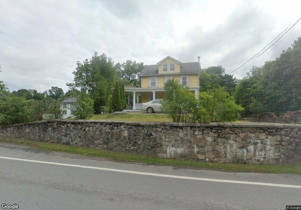
2139 Albany Post Rd Montrose, NY 10548
Estimated Value: $516,000 - $568,219
--
Bed
--
Bath
--
Sq Ft
0.35
Acres
About This Home
This home is located at 2139 Albany Post Rd, Montrose, NY 10548 and is currently estimated at $541,305. 2139 Albany Post Rd is a home located in Westchester County with nearby schools including Frank G. Lindsey Elementary School, Blue Mountain Middle School, and Hendrick Hudson High School.
Ownership History
Date
Name
Owned For
Owner Type
Purchase Details
Closed on
Sep 28, 2006
Sold by
Gilmore Gary M
Bought by
Picchianti Joseph
Current Estimated Value
Home Financials for this Owner
Home Financials are based on the most recent Mortgage that was taken out on this home.
Original Mortgage
$288,000
Interest Rate
6.47%
Mortgage Type
New Conventional
Purchase Details
Closed on
Oct 12, 2000
Sold by
Rocha Dorothy L and Gilmore Dorothy L
Bought by
Gilmore Gary M
Create a Home Valuation Report for This Property
The Home Valuation Report is an in-depth analysis detailing your home's value as well as a comparison with similar homes in the area
Home Values in the Area
Average Home Value in this Area
Purchase History
| Date | Buyer | Sale Price | Title Company |
|---|---|---|---|
| Picchianti Joseph | $360,000 | Titlesave Agency Inc | |
| Gilmore Gary M | $26,200 | First American Title Ins Co |
Source: Public Records
Mortgage History
| Date | Status | Borrower | Loan Amount |
|---|---|---|---|
| Previous Owner | Picchianti Joseph | $288,000 |
Source: Public Records
Tax History Compared to Growth
Tax History
| Year | Tax Paid | Tax Assessment Tax Assessment Total Assessment is a certain percentage of the fair market value that is determined by local assessors to be the total taxable value of land and additions on the property. | Land | Improvement |
|---|---|---|---|---|
| 2024 | $8,199 | $5,275 | $675 | $4,600 |
| 2023 | $7,729 | $5,275 | $675 | $4,600 |
| 2022 | $7,688 | $5,275 | $675 | $4,600 |
| 2021 | $7,494 | $5,275 | $675 | $4,600 |
| 2020 | $7,276 | $5,275 | $675 | $4,600 |
| 2019 | $8,347 | $5,275 | $675 | $4,600 |
| 2018 | $6,677 | $5,275 | $675 | $4,600 |
| 2017 | $3,851 | $5,275 | $675 | $4,600 |
| 2016 | $8,144 | $5,275 | $675 | $4,600 |
| 2015 | -- | $5,275 | $675 | $4,600 |
| 2014 | -- | $5,275 | $675 | $4,600 |
| 2013 | -- | $5,275 | $675 | $4,600 |
Source: Public Records
Map
Nearby Homes
- 34 Kings Ferry Rd
- 22 Harper Ave
- 49 Henning Dr
- 216 Rockledge Ave
- 215 Catherine St
- 168 Seward St
- 23 Meadow Rd
- 137 Lindsey Ave
- 149 Cole Ct
- 62 Montrose Point Rd
- 15 Arlington Ct
- 56 Coachlight Square Unit 56
- 90 Coachlight Square
- 120 Westchester Ave
- 249 Kings Ferry Rd
- 221 Kings Ferry Rd
- 11 Deer Haunt Dr
- 92 14th St
- 0 Laurel Hill Rd Unit KEY925925
- 114 Laurel Hill Rd
- 3 Montrose Station Rd
- 2135 Albany Post Rd
- 2133 Albany Post Rd
- 2 Kings Ferry Rd Unit 4
- 2140 Albany Post Rd
- 7 Travis Ave
- 2131 Albany Post Rd
- 12 Montrose Station Rd
- 2132 Albany Post Rd
- 1 Kings Ferry Rd Unit 4
- 8 Travis Ave
- 14 Montrose Station Rd
- 15 Montrose Station Rd
- 11 Travis Ave
- 1 Lancaster Ave
- 5 Lancaster Ave
- 13 Travis Ave
- 18 Montrose Station Rd
- 0 Travis Ave Unit 18 270457
- 0 Travis Ave Unit 18 293903