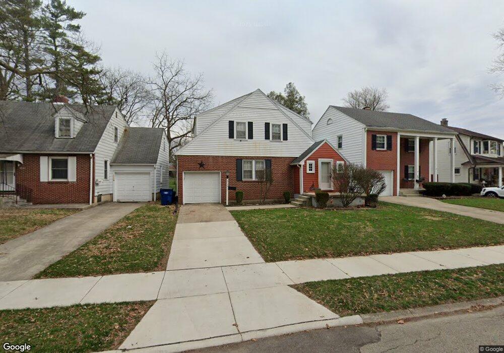
2139 Harshman Blvd Springfield, OH 45504
Estimated Value: $144,000 - $160,000
3
Beds
1
Bath
1,332
Sq Ft
$114/Sq Ft
Est. Value
About This Home
This home is located at 2139 Harshman Blvd, Springfield, OH 45504 and is currently estimated at $151,937, approximately $114 per square foot. 2139 Harshman Blvd is a home located in Clark County with nearby schools including Snyder Park Elementary School, Roosevelt Middle School, and Springfield High School.
Ownership History
Date
Name
Owned For
Owner Type
Purchase Details
Closed on
Jul 7, 2021
Sold by
Carlisle John C and Mathias Michael
Bought by
Mathias Michael and Carlisle John
Current Estimated Value
Purchase Details
Closed on
Apr 3, 2012
Sold by
Fannie Mae
Bought by
Carlisle John C
Purchase Details
Closed on
Feb 1, 2012
Sold by
Ferrell Darrin R
Bought by
Fannie Mae and Federal National Mortgage Association
Purchase Details
Closed on
Sep 29, 2008
Sold by
Williams Tracy L and Ferrell Tracy L
Bought by
Ferrell Darrin R
Purchase Details
Closed on
Apr 13, 2000
Sold by
Williams Tracy L
Bought by
Ferrell Darrin R and Williams Tracy L
Home Financials for this Owner
Home Financials are based on the most recent Mortgage that was taken out on this home.
Original Mortgage
$95,000
Interest Rate
8.22%
Mortgage Type
Purchase Money Mortgage
Create a Home Valuation Report for This Property
The Home Valuation Report is an in-depth analysis detailing your home's value as well as a comparison with similar homes in the area
Home Values in the Area
Average Home Value in this Area
Purchase History
| Date | Buyer | Sale Price | Title Company |
|---|---|---|---|
| Mathias Michael | -- | Ohio Real Estate Title Inc | |
| Michael Mathias And John Carlisle Revocable T | -- | Ohio Real Estate Title | |
| Carlisle John C | $38,000 | None Available | |
| Fannie Mae | $57,000 | Attorney | |
| Ferrell Darrin R | -- | Attorney | |
| Ferrell Darrin R | -- | -- |
Source: Public Records
Mortgage History
| Date | Status | Borrower | Loan Amount |
|---|---|---|---|
| Previous Owner | Ferrell Darrin R | $95,000 |
Source: Public Records
Tax History
| Year | Tax Paid | Tax Assessment Tax Assessment Total Assessment is a certain percentage of the fair market value that is determined by local assessors to be the total taxable value of land and additions on the property. | Land | Improvement |
|---|---|---|---|---|
| 2025 | $2,052 | $50,510 | $7,880 | $42,630 |
| 2024 | $2,000 | $40,490 | $6,870 | $33,620 |
| 2023 | $2,000 | $40,490 | $6,870 | $33,620 |
| 2022 | $2,049 | $40,490 | $6,870 | $33,620 |
| 2021 | $1,825 | $33,210 | $5,630 | $27,580 |
| 2020 | $1,829 | $33,210 | $5,630 | $27,580 |
| 2019 | $1,834 | $33,210 | $5,630 | $27,580 |
| 2018 | $1,665 | $28,950 | $5,360 | $23,590 |
| 2017 | $1,664 | $28,949 | $5,362 | $23,587 |
| 2016 | $1,666 | $28,949 | $5,362 | $23,587 |
| 2015 | $1,479 | $28,949 | $5,362 | $23,587 |
| 2014 | $1,473 | $28,949 | $5,362 | $23,587 |
| 2013 | $1,457 | $28,949 | $5,362 | $23,587 |
Source: Public Records
Map
Nearby Homes
- 1866 Maiden Ln
- 106 Walter St
- 110 Walter St
- 1906-1908 W High St
- 1915 W Washington St
- 1828 W Washington St
- 1715 W North St
- 22 Seever St
- 40 Zischler St
- 202 Seever St
- 1524 W North St Unit 1526
- 1500 W Main St
- 1420 Parker Ct
- 1504 W High St
- 0 Upper Valley Pike
- 1417 W Main St
- 1618 W Pleasant St
- 366 N Isabella St
- 1225 W High St
- 2805 Cottonwood Dr
- 2141 Harshman Blvd
- 2135 Harshman Blvd
- 2143 Harshman Blvd
- 2131 Harshman Blvd
- 2145 Harshman Blvd
- 2125 Harshman Blvd
- 2132 Broadway St
- 2147 Harshman Blvd
- 2140 Broadway St
- 2121 Harshman Blvd
- 2128 Broadway St
- 2148 Broadway St
- 2151 Harshman Blvd
- 2119 Harshman Blvd
- 2120 Broadway St
- 2150 Broadway St
- 2111 Harshman Blvd
- 2116 Broadway St
- 2154 Broadway St
- 2155 Harshman Blvd
Your Personal Tour Guide
Ask me questions while you tour the home.