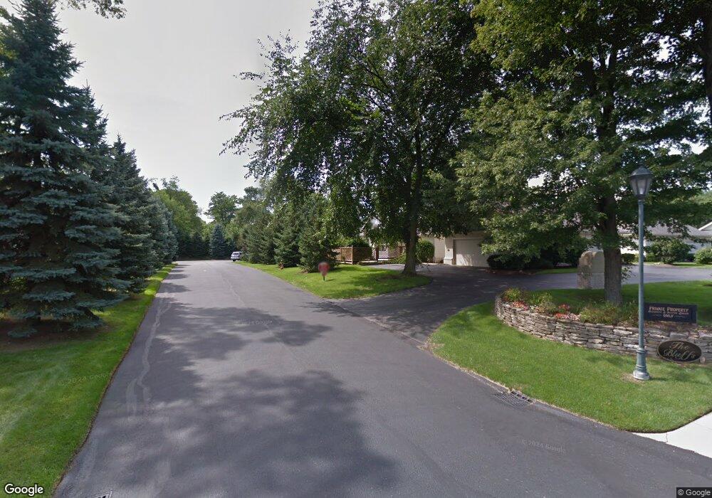
2139 Saint Andrews Bluff Toledo, OH 43615
Estimated Value: $235,000 - $249,000
2
Beds
2
Baths
1,479
Sq Ft
$164/Sq Ft
Est. Value
About This Home
This home is located at 2139 Saint Andrews Bluff, Toledo, OH 43615 and is currently estimated at $243,183, approximately $164 per square foot. 2139 Saint Andrews Bluff is a home located in Lucas County with nearby schools including Central Trail Elementary School, Sylvania Timberstone Junior High School, and Sylvania Southview High School.
Ownership History
Date
Name
Owned For
Owner Type
Purchase Details
Closed on
Sep 20, 2023
Sold by
Norris William K
Bought by
William K Norris And Carrie M Norris Living T and Norris
Current Estimated Value
Purchase Details
Closed on
Jan 4, 2016
Sold by
Irons Kimberly S
Bought by
Norris William K
Home Financials for this Owner
Home Financials are based on the most recent Mortgage that was taken out on this home.
Original Mortgage
$123,500
Interest Rate
3.93%
Mortgage Type
New Conventional
Purchase Details
Closed on
Jun 5, 2010
Sold by
Mckinstray David A
Bought by
Prudential Relocation Inc
Purchase Details
Closed on
Jan 6, 2010
Sold by
Prudential Relocation Inc
Bought by
Irons Kimberly S
Home Financials for this Owner
Home Financials are based on the most recent Mortgage that was taken out on this home.
Original Mortgage
$98,550
Interest Rate
4.84%
Mortgage Type
New Conventional
Purchase Details
Closed on
Apr 29, 2009
Sold by
Hunt Dan L and Hunt Mary D
Bought by
Mckinstray David A
Home Financials for this Owner
Home Financials are based on the most recent Mortgage that was taken out on this home.
Original Mortgage
$117,000
Interest Rate
5.05%
Mortgage Type
Purchase Money Mortgage
Purchase Details
Closed on
Jun 1, 2005
Sold by
Manworren Nancy J
Bought by
Hunt Dan L and Hunt Mary D
Home Financials for this Owner
Home Financials are based on the most recent Mortgage that was taken out on this home.
Original Mortgage
$100,000
Interest Rate
5.75%
Mortgage Type
Fannie Mae Freddie Mac
Purchase Details
Closed on
Jul 6, 2000
Sold by
The Environment Building Company
Bought by
Manworren Nancy J
Home Financials for this Owner
Home Financials are based on the most recent Mortgage that was taken out on this home.
Original Mortgage
$40,000
Interest Rate
8.64%
Create a Home Valuation Report for This Property
The Home Valuation Report is an in-depth analysis detailing your home's value as well as a comparison with similar homes in the area
Home Values in the Area
Average Home Value in this Area
Purchase History
| Date | Buyer | Sale Price | Title Company |
|---|---|---|---|
| William K Norris And Carrie M Norris Living T | -- | None Listed On Document | |
| Norris William K | $130,000 | Louisville Title Agency For | |
| Prudential Relocation Inc | $130,500 | Chicago Title Insurance Co | |
| Irons Kimberly S | $109,500 | Chicago Title Insurance Co | |
| Mckinstray David A | $130,000 | Attorney | |
| Hunt Dan L | $146,000 | -- | |
| Manworren Nancy J | $141,700 | Midland |
Source: Public Records
Mortgage History
| Date | Status | Borrower | Loan Amount |
|---|---|---|---|
| Previous Owner | Norris William K | $123,500 | |
| Previous Owner | Irons Kimberly S | $98,550 | |
| Previous Owner | Mckinstray David A | $117,000 | |
| Previous Owner | Hunt Dan L | $100,000 | |
| Previous Owner | Manworren Nancy J | $40,000 |
Source: Public Records
Tax History Compared to Growth
Tax History
| Year | Tax Paid | Tax Assessment Tax Assessment Total Assessment is a certain percentage of the fair market value that is determined by local assessors to be the total taxable value of land and additions on the property. | Land | Improvement |
|---|---|---|---|---|
| 2024 | $2,364 | $78,225 | $6,825 | $71,400 |
| 2023 | $3,606 | $52,010 | $5,250 | $46,760 |
| 2022 | $3,604 | $52,010 | $5,250 | $46,760 |
| 2021 | $3,388 | $52,010 | $5,250 | $46,760 |
| 2020 | $3,214 | $44,730 | $5,005 | $39,725 |
| 2019 | $3,140 | $44,730 | $5,005 | $39,725 |
| 2018 | $3,201 | $44,730 | $5,005 | $39,725 |
| 2017 | $3,285 | $43,715 | $4,900 | $38,815 |
| 2016 | $3,315 | $124,900 | $14,000 | $110,900 |
| 2015 | $3,309 | $124,900 | $14,000 | $110,900 |
| 2014 | $3,068 | $43,720 | $4,900 | $38,820 |
| 2013 | $3,068 | $43,720 | $4,900 | $38,820 |
Source: Public Records
Map
Nearby Homes
- 6820 Cloister Ct Unit 6820
- 6952 Leicester Rd
- 1802 Deer Trail Dr
- 1714 Deer Trail Dr
- 6968 Shooters Hill Rd
- 1128 Plum Grove Ln
- 1053 Plum Grove Ln
- 6843 Kristi Lynne Ln
- 2150 Fieldbrook Dr
- 6850 Kristi Lynne Ln
- 7335 Friarton Cir
- 6616 Elmer Dr
- 7035 Mourning Dove Ct
- 2235 Whispering Pines Dr
- 2822 Page Lindsay Ln
- 2015 King Rd
- 2515 Orchard Hills Blvd
- 1032 Saturn Dr
- 1715 Brooklynn Park W
- 1985 Oakhaven Rd
- 2137 Saint Andrews Bluff
- 2135 Saint Andrews Bluff
- 2137 Saint Andrews Bluffs Unit 2137
- 2133 Saint Andrews Bluff
- 2133 Saint Andrews Bluff Unit 2133
- 2139 St Andrews Bluff
- 2135 St Andrews Bluff
- 2135 Saint Andrews Bluffs Unit 2135
- 2139 Saint Andrews Bluffs Unit 3
- 2141 Saint Andrews Bluffs Unit 2141
- 2145 St Andrews Bluffs Ba
- 2133 Saint Andrews Bluffs Unit 2133
- 2131 St Andrews Bluffs Ba
- 2141 Saint Andrews Bluff
- 2141 Saint Andrews Bluff Unit 2141
- 2141 St Andrews Bluffs
- 2131 Saint Andrews Bluff Unit 2131
- 2143 Saint Andrews Bluff
- 2045 Saint Andrews Bluff
- 2035 Saint Andrews Bluff