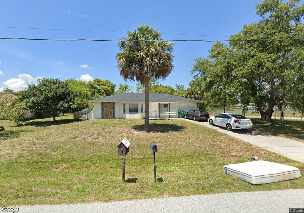
21398 Burkhart Dr Port Charlotte, FL 33952
Estimated Value: $229,705 - $261,000
3
Beds
2
Baths
1,378
Sq Ft
$179/Sq Ft
Est. Value
About This Home
This home is located at 21398 Burkhart Dr, Port Charlotte, FL 33952 and is currently estimated at $246,426, approximately $178 per square foot. 21398 Burkhart Dr is a home located in Charlotte County with nearby schools including Neil Armstrong Elementary School, Port Charlotte Middle School, and Port Charlotte High School.
Ownership History
Date
Name
Owned For
Owner Type
Purchase Details
Closed on
Apr 20, 2015
Sold by
Florida Group Holdings Llc
Bought by
21398 Burkhart Llc
Current Estimated Value
Purchase Details
Closed on
May 16, 2012
Sold by
Roy Valerie A and Shambaugh Kailine A
Bought by
Florida Group Holdings Llc
Purchase Details
Closed on
Mar 18, 2005
Sold by
Mazzone Heidi and Roy Valerie
Bought by
Shambaugh Kailine
Purchase Details
Closed on
Jan 16, 2004
Sold by
Roy Beverly Ann and Roy Beverly
Bought by
Roy Valerie A and Shambaugh Kailine A
Create a Home Valuation Report for This Property
The Home Valuation Report is an in-depth analysis detailing your home's value as well as a comparison with similar homes in the area
Home Values in the Area
Average Home Value in this Area
Purchase History
| Date | Buyer | Sale Price | Title Company |
|---|---|---|---|
| 21398 Burkhart Llc | -- | None Available | |
| Florida Group Holdings Llc | $15,663 | None Available | |
| Shambaugh Kailine | -- | -- | |
| Roy Valerie A | -- | -- | |
| Roy Valerie A | -- | -- |
Source: Public Records
Tax History Compared to Growth
Tax History
| Year | Tax Paid | Tax Assessment Tax Assessment Total Assessment is a certain percentage of the fair market value that is determined by local assessors to be the total taxable value of land and additions on the property. | Land | Improvement |
|---|---|---|---|---|
| 2023 | $3,849 | $161,454 | $0 | $0 |
| 2022 | $3,149 | $165,485 | $20,400 | $145,085 |
| 2021 | $2,890 | $133,433 | $9,138 | $124,295 |
| 2020 | $2,817 | $130,039 | $8,500 | $121,539 |
| 2019 | $2,681 | $128,477 | $8,500 | $119,977 |
| 2018 | $2,379 | $121,429 | $7,650 | $113,779 |
| 2017 | $2,166 | $99,997 | $7,822 | $92,175 |
| 2016 | $2,151 | $97,378 | $0 | $0 |
| 2015 | $1,961 | $83,821 | $0 | $0 |
| 2014 | $1,782 | $76,201 | $0 | $0 |
Source: Public Records
Map
Nearby Homes
- 2116 Hanson St
- 1529 Fireside St
- 1578 Adrian St
- 21460 Dawson Ave
- 21432 Bryn Mawr Ave
- 1505 Harbor Blvd
- 1497 Harbor Blvd
- 1505 Fireside St
- 2144 Harbor Blvd
- 21431 Circlewood Ave
- 2126 Hanby St
- 21327 Midway Blvd
- 1603 Scotten St
- 1586 Scotten St
- 21290 Glendale Ave
- 21330 Meehan Ave
- 1425 Harbor Blvd
- 21530 Glendale Ave
- 1604 Birchcrest Blvd
- 1556 Birchcrest Blvd
- 21390 Burkhart Dr
- 21382 Burkhart Dr
- 21397 Burkhart Dr
- 1579 Harbor Blvd
- 1561 Boulevard
- 21383 Burkhart Dr
- 21371 Cottonwood Ave
- 1566 Forand Cir
- 1553 Harbor Blvd
- 21366 Burkhart Dr
- 21367 Burkhart Dr
- 21425 Dawson Ave
- 21355 Cottonwood Ave
- 1580 Harbor Blvd
- 1595 Harbor Blvd
- 21426 Dawson Ave
- 2093 Haskell St
- 1586 Harbor Blvd