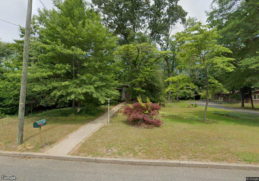
214 216 and 212 Lotus Ave Voorhees, NJ 08043
Estimated Value: $172,000 - $274,000
--
Bed
2
Baths
--
Sq Ft
0.46
Acres
About This Home
This home is located at 214 216 and 212 Lotus Ave, Voorhees, NJ 08043 and is currently estimated at $213,167. 214 216 and 212 Lotus Ave is a home located in Camden County with nearby schools including Osage Elementary School, Voorhees Middle School, and Eastern Regional High School.
Ownership History
Date
Name
Owned For
Owner Type
Purchase Details
Closed on
Aug 9, 2024
Sold by
Andrews Richard W and Andrews Ingeborg F
Bought by
I & H Builders Llc
Current Estimated Value
Home Financials for this Owner
Home Financials are based on the most recent Mortgage that was taken out on this home.
Original Mortgage
$332,710
Interest Rate
6.87%
Mortgage Type
New Conventional
Purchase Details
Closed on
Jun 27, 2024
Sold by
Andrews Richard W and Andrews Ingeborg F
Bought by
Douglas Barry and Douglas Danielle R
Home Financials for this Owner
Home Financials are based on the most recent Mortgage that was taken out on this home.
Original Mortgage
$332,710
Interest Rate
6.87%
Mortgage Type
New Conventional
Purchase Details
Closed on
Oct 30, 1970
Bought by
Andrews Richard W and Andrews Ingeborg F
Create a Home Valuation Report for This Property
The Home Valuation Report is an in-depth analysis detailing your home's value as well as a comparison with similar homes in the area
Home Values in the Area
Average Home Value in this Area
Purchase History
| Date | Buyer | Sale Price | Title Company |
|---|---|---|---|
| I & H Builders Llc | $165,000 | West Jersey Title | |
| I & H Builders Llc | $165,000 | West Jersey Title | |
| Douglas Barry | $343,000 | Crescent Abstract | |
| Douglas Barry | $343,000 | Crescent Abstract | |
| Andrews Richard W | $1,400 | -- |
Source: Public Records
Mortgage History
| Date | Status | Borrower | Loan Amount |
|---|---|---|---|
| Previous Owner | Douglas Barry | $332,710 |
Source: Public Records
Tax History Compared to Growth
Tax History
| Year | Tax Paid | Tax Assessment Tax Assessment Total Assessment is a certain percentage of the fair market value that is determined by local assessors to be the total taxable value of land and additions on the property. | Land | Improvement |
|---|---|---|---|---|
| 2025 | $5,190 | $156,700 | $96,700 | $60,000 |
| 2024 | $5,097 | $120,700 | $92,200 | $28,500 |
| 2023 | $5,097 | $120,700 | $92,200 | $28,500 |
| 2022 | $4,995 | $120,700 | $92,200 | $28,500 |
| 2021 | $4,963 | $120,700 | $92,200 | $28,500 |
| 2020 | $4,937 | $120,700 | $92,200 | $28,500 |
| 2019 | $4,763 | $120,700 | $92,200 | $28,500 |
| 2018 | $4,731 | $120,700 | $92,200 | $28,500 |
| 2017 | $4,651 | $120,700 | $92,200 | $28,500 |
| 2016 | $4,437 | $120,700 | $92,200 | $28,500 |
| 2015 | $4,524 | $120,700 | $92,200 | $28,500 |
| 2014 | $4,467 | $120,700 | $92,200 | $28,500 |
Source: Public Records
Map
Nearby Homes
- 5 Perot Ave
- 69 Franklin Cir
- 412 S Charleston Ave
- 101 Railroad Blvd
- 511 Ellis Ave
- 265 S Charleston Ave
- 348 Silk St
- 25 Country Ln
- 217 Ashland Ave
- 158 E Evesham Rd
- 208 Ashley Run
- 208 Pelham Rd S
- 0 Orchard Ave
- 412 N White Horse Pike
- 166 E Evesham Rd
- 313 E Washington Ave
- 217 Hartner Ave
- 8 Echelon Rd
- 178 E Charleston Ave
- 1401 Hillside Dr