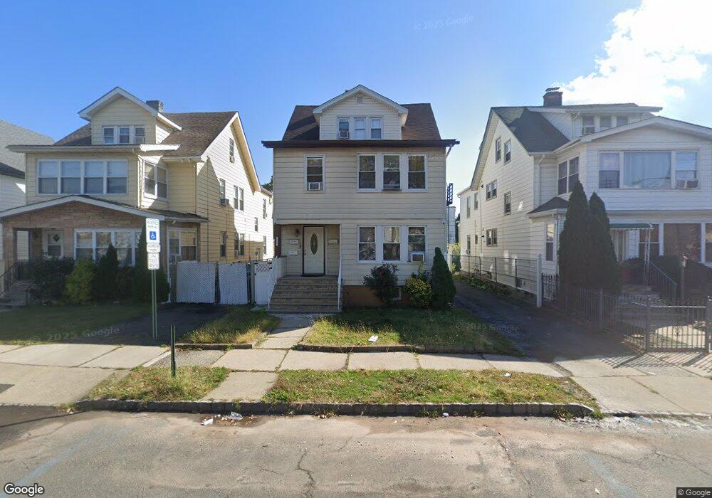
214 Ampere Pkwy Bloomfield, NJ 07003
Estimated Value: $650,000 - $800,000
--
Bed
--
Bath
2,564
Sq Ft
$291/Sq Ft
Est. Value
About This Home
This home is located at 214 Ampere Pkwy, Bloomfield, NJ 07003 and is currently estimated at $745,667, approximately $290 per square foot. 214 Ampere Pkwy is a home located in Essex County with nearby schools including Carteret School, Bloomfield Middle School, and Bloomfield High School.
Ownership History
Date
Name
Owned For
Owner Type
Purchase Details
Closed on
Aug 17, 2009
Sold by
Hsbc Bank Usa National Association
Bought by
Johnson Gabriel
Current Estimated Value
Home Financials for this Owner
Home Financials are based on the most recent Mortgage that was taken out on this home.
Original Mortgage
$279,788
Outstanding Balance
$182,051
Interest Rate
5.17%
Mortgage Type
FHA
Estimated Equity
$563,616
Purchase Details
Closed on
Mar 17, 2009
Sold by
Smith Tammeisha
Bought by
Hsbc Bank Usa National Association
Purchase Details
Closed on
Feb 11, 2005
Sold by
Crawley Dennis
Bought by
Smith Tammeisha
Home Financials for this Owner
Home Financials are based on the most recent Mortgage that was taken out on this home.
Original Mortgage
$289,000
Interest Rate
5.73%
Create a Home Valuation Report for This Property
The Home Valuation Report is an in-depth analysis detailing your home's value as well as a comparison with similar homes in the area
Home Values in the Area
Average Home Value in this Area
Purchase History
| Date | Buyer | Sale Price | Title Company |
|---|---|---|---|
| Johnson Gabriel | $250,000 | First American Title Ins Co | |
| Hsbc Bank Usa National Association | -- | Land Title Svcs Of Nj Inc | |
| Smith Tammeisha | $340,000 | -- |
Source: Public Records
Mortgage History
| Date | Status | Borrower | Loan Amount |
|---|---|---|---|
| Open | Johnson Gabriel | $279,788 | |
| Previous Owner | Smith Tammeisha | $289,000 |
Source: Public Records
Tax History Compared to Growth
Tax History
| Year | Tax Paid | Tax Assessment Tax Assessment Total Assessment is a certain percentage of the fair market value that is determined by local assessors to be the total taxable value of land and additions on the property. | Land | Improvement |
|---|---|---|---|---|
| 2025 | $12,886 | $394,300 | $94,200 | $300,100 |
| 2024 | $12,886 | $394,300 | $94,200 | $300,100 |
| 2022 | $12,625 | $394,300 | $94,200 | $300,100 |
| 2021 | $12,393 | $394,300 | $94,200 | $300,100 |
| 2020 | $12,204 | $394,300 | $94,200 | $300,100 |
| 2019 | $11,708 | $294,100 | $93,000 | $201,100 |
| 2018 | $11,658 | $294,100 | $93,000 | $201,100 |
| 2017 | $11,482 | $294,100 | $93,000 | $201,100 |
| 2016 | $11,352 | $294,100 | $93,000 | $201,100 |
| 2015 | $11,249 | $294,100 | $93,000 | $201,100 |
| 2014 | $11,043 | $294,100 | $93,000 | $201,100 |
Source: Public Records
Map
Nearby Homes
- 220 N 17th St
- 228 N 17th St
- 413 Beardsley Ave Unit 3
- 413 Beardsley Ave
- 205 N 15th St
- 159 N 15th St
- 141 N 16th St
- 149 Leslie St
- 200 N 15th St
- 265 N 17th St
- 18 Whitman Ave
- 267 N 17th St
- 7 Whitman Ave
- 110 N 17th St
- 105 N 15th St
- 65 Leslie St
- 20 Heckel St Unit 3
- 20 Heckel St
- 489 N 11th St Unit 491
- 101 Ellington St
- 216 Ampere Pkwy
- 212 Ampere Pkwy
- 218 Ampere Pkwy Unit 1
- 218 Ampere Pkwy Unit 2
- 210 Ampere Pkwy Unit 1
- 195 N 17th St
- 199 N 17th St
- 201 N 17th St
- 206 Ampere Pkwy
- 220 Ampere Pkwy
- 191 N 17th St
- 205 N 17th St
- 205 N 17th St Unit 2
- 204 Ampere Pkwy
- 207 N 17th St
- 224 Ampere Pkwy
- 187 N 17th St
- 209 N 17th St
- 200 Ampere Pkwy
- 183 N 17th St