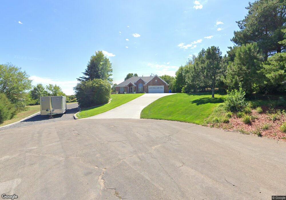
214 Apache Ct North Platte, NE 69101
Estimated Value: $478,000 - $680,000
3
Beds
4
Baths
2,474
Sq Ft
$225/Sq Ft
Est. Value
About This Home
This home is located at 214 Apache Ct, North Platte, NE 69101 and is currently estimated at $556,708, approximately $225 per square foot. 214 Apache Ct is a home located in Lincoln County with nearby schools including North Platte High School.
Ownership History
Date
Name
Owned For
Owner Type
Purchase Details
Closed on
Jun 30, 2023
Sold by
Schiel Douglas John
Bought by
Schiel Casey Adam and Schiel Merrisa Dawn
Current Estimated Value
Purchase Details
Closed on
Apr 18, 2005
Sold by
Dent Stephen L and Dent Lori S
Bought by
Schiel Douglas J and Schiel Trudi C
Home Financials for this Owner
Home Financials are based on the most recent Mortgage that was taken out on this home.
Original Mortgage
$60,000
Interest Rate
6.03%
Mortgage Type
Credit Line Revolving
Create a Home Valuation Report for This Property
The Home Valuation Report is an in-depth analysis detailing your home's value as well as a comparison with similar homes in the area
Home Values in the Area
Average Home Value in this Area
Purchase History
| Date | Buyer | Sale Price | Title Company |
|---|---|---|---|
| Schiel Casey Adam | -- | None Listed On Document | |
| Schiel Family Trust | -- | None Listed On Document | |
| Schiel Family Trust | -- | None Listed On Document | |
| Schiel Douglas J | $400,000 | None Available |
Source: Public Records
Mortgage History
| Date | Status | Borrower | Loan Amount |
|---|---|---|---|
| Previous Owner | Schiel Douglas J | $60,000 |
Source: Public Records
Tax History
| Year | Tax Paid | Tax Assessment Tax Assessment Total Assessment is a certain percentage of the fair market value that is determined by local assessors to be the total taxable value of land and additions on the property. | Land | Improvement |
|---|---|---|---|---|
| 2025 | $6,038 | $627,878 | $49,655 | $578,223 |
| 2024 | $7,298 | $585,047 | $49,655 | $535,392 |
| 2023 | $7,298 | $531,041 | $49,655 | $481,386 |
| 2022 | $6,558 | $453,138 | $49,655 | $403,483 |
| 2021 | $6,611 | $453,138 | $49,655 | $403,483 |
| 2020 | $6,735 | $453,138 | $49,655 | $403,483 |
| 2019 | $6,756 | $453,064 | $41,916 | $411,148 |
| 2018 | $6,245 | $415,655 | $38,455 | $377,200 |
| 2017 | $6,280 | $415,655 | $38,455 | $377,200 |
| 2016 | $6,394 | $415,655 | $38,455 | $377,200 |
| 2014 | $5,825 | $356,815 | $38,440 | $318,375 |
Source: Public Records
Map
Nearby Homes
- 1101 Tomahawk Rd
- 602 Tomahawk Rd
- 2421 W State Farm Rd
- 2421 W State Farm Rd Unit North Platte NE 6910
- N Platte Unit NE 69101
- 0 State Farm Road Long Acreage W
- N Platte Unit NE 69101
- 0 S Buffalo Bill Development
- N Platte Unit NE 69101
- N Platte Unit NE 69101
- 0 Buffalo Triangle Frontage
- 0 State Farm Road Short Acreage W
- 0 State Farm Road Short Acreage E
- N Platte Unit NE 69101
- 0 State Farm Road Long Acreage E
- N Platte Unit NE 69101
- 0 N Buffalo Bill Grass
- N Platte Unit NE 69101
- 0 Unit 11584518
- 200 College Dr
- 220 Apache Ct
- 1201 Apache Dr
- 120 Tepee Rd
- 202 Tepee Rd
- 1219 Hilltop Cir
- 1211 Hilltop Cir
- 110 Tepee Rd
- 1204 Apache Dr
- 1120 Apache Dr
- 1221 Hilltop Cir
- 121 Tepee Rd
- 201 Tepee Rd
- 302 Tepee Rd
- 1131 Tomahawk Rd
- 221 Tepee Rd
- 1 Hilltop Cir
- LOT 20 Hilltop Cir
- 1120 Tomahawk Rd
- 1121 Otoe Trail
- 1201 Hilltop Cir
Your Personal Tour Guide
Ask me questions while you tour the home.