214 Arrowhead Dr Hazleton, PA 18202
Estimated Value: $373,707 - $499,000
4
Beds
3
Baths
2,048
Sq Ft
$223/Sq Ft
Est. Value
About This Home
This home is located at 214 Arrowhead Dr, Hazleton, PA 18202 and is currently estimated at $456,427, approximately $222 per square foot. 214 Arrowhead Dr is a home with nearby schools including Hazleton Area High School.
Ownership History
Date
Name
Owned For
Owner Type
Purchase Details
Closed on
Feb 21, 2012
Sold by
Flynn Martin J and Flynn Mary Ann
Bought by
Shiner Scott W
Current Estimated Value
Home Financials for this Owner
Home Financials are based on the most recent Mortgage that was taken out on this home.
Original Mortgage
$217,686
Outstanding Balance
$147,133
Interest Rate
3.99%
Mortgage Type
VA
Estimated Equity
$309,294
Purchase Details
Closed on
Nov 27, 2006
Sold by
Ouano Florante C and Ouano Cynthia A
Bought by
Eagle Rock Resort Co
Create a Home Valuation Report for This Property
The Home Valuation Report is an in-depth analysis detailing your home's value as well as a comparison with similar homes in the area
Home Values in the Area
Average Home Value in this Area
Purchase History
| Date | Buyer | Sale Price | Title Company |
|---|---|---|---|
| Shiner Scott W | $311,000 | None Available | |
| Eagle Rock Resort Co | -- | None Available |
Source: Public Records
Mortgage History
| Date | Status | Borrower | Loan Amount |
|---|---|---|---|
| Open | Shiner Scott W | $217,686 |
Source: Public Records
Tax History
| Year | Tax Paid | Tax Assessment Tax Assessment Total Assessment is a certain percentage of the fair market value that is determined by local assessors to be the total taxable value of land and additions on the property. | Land | Improvement |
|---|---|---|---|---|
| 2026 | $19,038 | $421,100 | $15,000 | $406,100 |
| 2025 | $4,216 | $66,940 | $3,005 | $63,935 |
| 2024 | $3,880 | $66,940 | $3,005 | $63,935 |
| 2023 | $3,802 | $66,940 | $3,005 | $63,935 |
| 2022 | $3,876 | $66,940 | $3,005 | $63,935 |
| 2021 | $3,705 | $66,940 | $3,005 | $63,935 |
| 2020 | $3,681 | $66,940 | $3,005 | $63,935 |
| 2018 | $3,761 | $66,940 | $3,005 | $63,935 |
| 2017 | $3,668 | $66,940 | $3,005 | $63,935 |
| 2015 | -- | $66,940 | $3,005 | $63,935 |
| 2011 | -- | $3,005 | $0 | $0 |
Source: Public Records
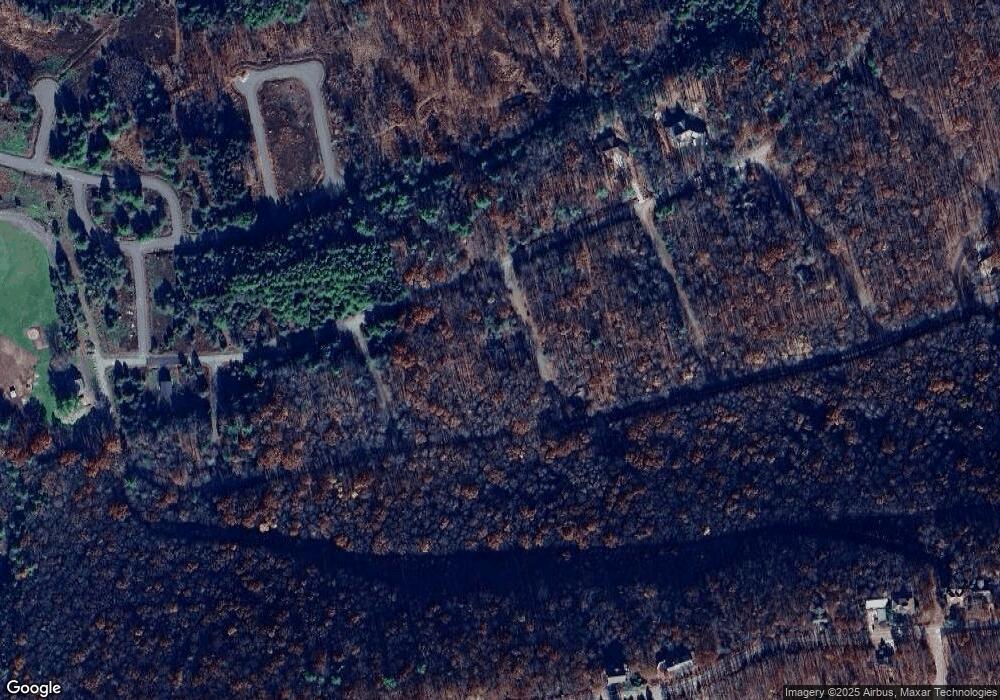
Map
Nearby Homes
- 26 Tahkox Dr
- EA Lot 247 Algonquin Dr
- 0 Algonquin Dr Unit 24-281
- 0 Algonquin Dr Unit PASK2022426
- 003 Okwes Ln
- WS-041 Summit Rd
- AWS-19 Sayre Dr
- AWS-5 Sayre Dr
- 6 Cheyenne Dr
- AW 012 Arapahoe Ln
- 0 Mid Summit Dr
- 138 Mid Summit Dr
- 132 Kenoza Dr
- WSS5.127 Mid Summer Dr
- 54 Summit Rd
- 49 Adobe Way
- 29 Blackhawk Blvd
- 55 Conyngham Dr
- 32 Arapahoe Cir
- 395 Horseshoe Dr
- EA-216 Arrowhead Dr
- 216 EA Arrowhead Dr
- EA Lot 209 Arrowhead Dr
- EA-208 Arrowhead Dr
- 616 Tuscarora Dr W
- 194 Blackfoot Dr
- EA-198 Blackfoot Dr
- EA Lot 202 Blackfoot Dr
- 112 Algonquin Dr
- LOT AV1 Sisilia Ln
- 102 Algonquin Dr
- AV1.002 Sisilia Ln
- 93 Algonquin Dr
- 88 Algonquin Dr
- AV1 Lot047 Sisilia Ln
- Lot 29 AV2 Sisilia Ln
- 37 AVI Sisilia Ln
- 0 Sisilia Ln
- 568 Tuscarora Dr W
- 576 Tuscarora Dr W
Your Personal Tour Guide
Ask me questions while you tour the home.