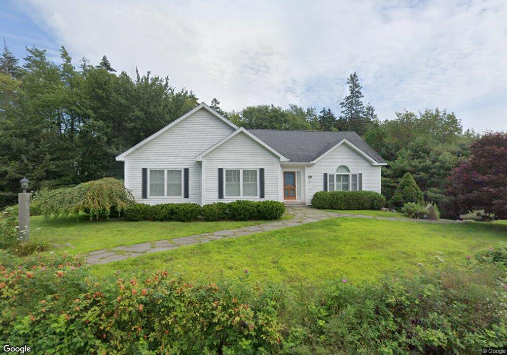
214 Atlantic Ave Boothbay Harbor, ME 04538
Estimated Value: $635,000 - $790,000
3
Beds
2
Baths
2,020
Sq Ft
$352/Sq Ft
Est. Value
About This Home
This home is located at 214 Atlantic Ave, Boothbay Harbor, ME 04538 and is currently estimated at $710,972, approximately $351 per square foot. 214 Atlantic Ave is a home located in Lincoln County with nearby schools including Boothbay Region Elementary School and Boothbay Region High School.
Ownership History
Date
Name
Owned For
Owner Type
Purchase Details
Closed on
Mar 14, 2005
Sold by
Pichetshote Chairuch
Bought by
Marsh Jon C and Marsh Angela
Current Estimated Value
Home Financials for this Owner
Home Financials are based on the most recent Mortgage that was taken out on this home.
Original Mortgage
$110,000
Outstanding Balance
$53,239
Interest Rate
5.64%
Mortgage Type
Purchase Money Mortgage
Estimated Equity
$657,733
Create a Home Valuation Report for This Property
The Home Valuation Report is an in-depth analysis detailing your home's value as well as a comparison with similar homes in the area
Home Values in the Area
Average Home Value in this Area
Purchase History
| Date | Buyer | Sale Price | Title Company |
|---|---|---|---|
| Marsh Jon C | -- | -- |
Source: Public Records
Mortgage History
| Date | Status | Borrower | Loan Amount |
|---|---|---|---|
| Open | Marsh Jon C | $110,000 |
Source: Public Records
Tax History
| Year | Tax Paid | Tax Assessment Tax Assessment Total Assessment is a certain percentage of the fair market value that is determined by local assessors to be the total taxable value of land and additions on the property. | Land | Improvement |
|---|---|---|---|---|
| 2025 | $3,767 | $378,600 | $95,900 | $282,700 |
| 2024 | $3,578 | $378,600 | $95,900 | $282,700 |
| 2023 | $3,388 | $378,600 | $95,900 | $282,700 |
| 2022 | $3,161 | $378,600 | $95,900 | $282,700 |
| 2019 | $2,382 | $199,300 | $46,800 | $152,500 |
| 2018 | $2,312 | $199,300 | $46,800 | $152,500 |
| 2017 | $2,259 | $198,200 | $46,800 | $151,400 |
| 2016 | $2,232 | $199,300 | $46,800 | $152,500 |
| 2014 | $2,160 | $198,200 | $46,800 | $151,400 |
| 2013 | $2,182 | $199,300 | $46,800 | $152,500 |
Source: Public Records
Map
Nearby Homes
- 133 Atlantic Ave Unit 81A
- 21 Lobster Cove Rd
- 40 Atlantic Ave
- 53 Commercial St
- 26 Sea St
- 27 Townsend Ave
- 37 Townsend Ave
- 74 & 76 Bay St
- 34 Townsend Ave
- 16 Cedar Ln Unit 16
- 17 Cedar Ln Unit 17
- 3 Cedar Ln Unit 3
- 63 Townsend Ave
- 43 Oak St
- 5 Village Ct Unit 5
- 6 Abenaki Rd
- 30 Village Ct Unit 36
- 33 Reed Rd
- 7 Flint Ln
- 11 Warren Ln
- 213 Atlantic Ave
- 219 Atlantic Ave
- 226 Atlantic Ave
- 209 Atlantic Ave
- 0 Atlantic Ave
- 212 Atlantic Ave
- 225 Atlantic Ave
- 206 Atlantic Ave
- 7 Factory Cove Rd
- 0 Factory Cove Rd
- 240 Atlantic Ave
- 234 Atlantic Ave
- 231 Atlantic Ave
- 11 Factory Cove Rd
- 205 Atlantic Ave
- 198 Atlantic Ave
- 21 Spruce Hollow Ln
- 8 Factory Cove Rd
- 194 Atlantic Ave
- 17 Factory Cove Rd
Your Personal Tour Guide
Ask me questions while you tour the home.