Estimated Value: $382,183 - $434,000
4
Beds
2
Baths
2,198
Sq Ft
$185/Sq Ft
Est. Value
About This Home
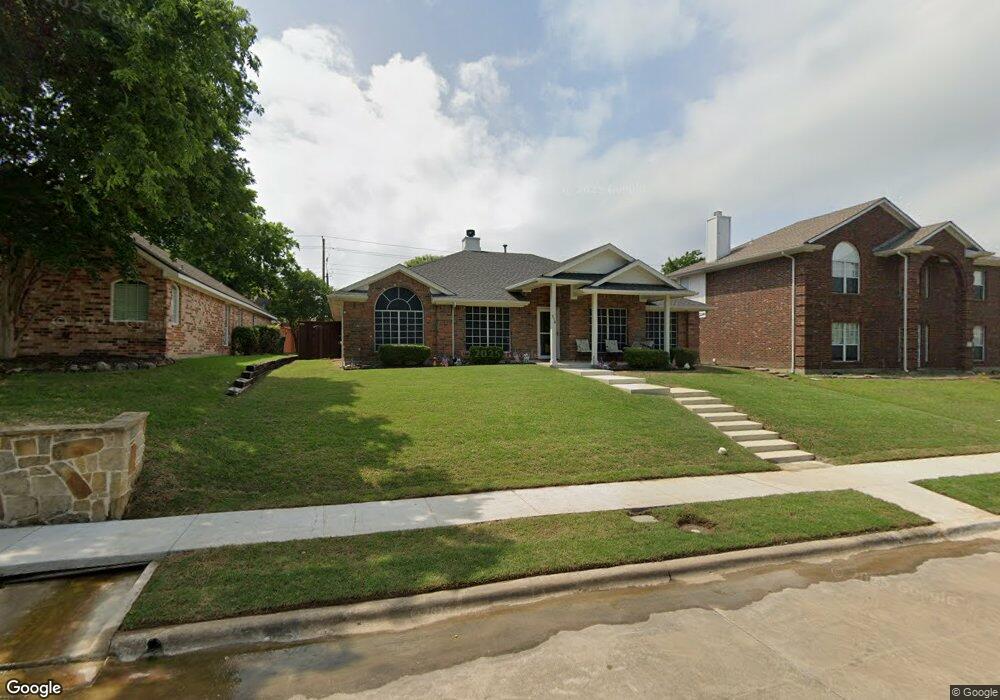
This home is located at 214 Cedar Ridge St, Wylie, TX 75098 and is currently estimated at $406,296, approximately $184 per square foot. 214 Cedar Ridge St is a home located in Collin County with nearby schools including P M Akin Elementary School, AB Harrison Intermediate School, and Grady Burnett J High School.
Ownership History
Date
Name
Owned For
Owner Type
Purchase Details
Closed on
Aug 22, 2019
Sold by
Carter Robert D and Carter Mary
Bought by
Billy Gene Mcwhirter and Billy Janice Lou
Current Estimated Value
Purchase Details
Closed on
May 23, 2007
Sold by
Jones P Casey and Jones Lesa R
Bought by
Carter Robert D and Carter Mary
Home Financials for this Owner
Home Financials are based on the most recent Mortgage that was taken out on this home.
Original Mortgage
$130,000
Interest Rate
6.37%
Mortgage Type
Purchase Money Mortgage
Purchase Details
Closed on
Aug 2, 1999
Sold by
D R Horton Texas Ltd
Bought by
Jones P Casey and Jones Leesa R
Home Financials for this Owner
Home Financials are based on the most recent Mortgage that was taken out on this home.
Original Mortgage
$115,250
Interest Rate
7.71%
Purchase Details
Closed on
Dec 17, 1998
Sold by
Tibbals Harry F and St John Bobbie Neal
Bought by
D R Horton Texas Ltd
Create a Home Valuation Report for This Property
The Home Valuation Report is an in-depth analysis detailing your home's value as well as a comparison with similar homes in the area
Home Values in the Area
Average Home Value in this Area
Purchase History
| Date | Buyer | Sale Price | Title Company |
|---|---|---|---|
| Billy Gene Mcwhirter | -- | None Available | |
| Carter Robert D | -- | Vanguard Title Company | |
| Jones P Casey | -- | -- | |
| D R Horton Texas Ltd | -- | Drh Title Company |
Source: Public Records
Mortgage History
| Date | Status | Borrower | Loan Amount |
|---|---|---|---|
| Previous Owner | Carter Robert D | $130,000 | |
| Previous Owner | Jones P Casey | $115,250 |
Source: Public Records
Tax History Compared to Growth
Tax History
| Year | Tax Paid | Tax Assessment Tax Assessment Total Assessment is a certain percentage of the fair market value that is determined by local assessors to be the total taxable value of land and additions on the property. | Land | Improvement |
|---|---|---|---|---|
| 2025 | $2,574 | $353,119 | $100,000 | $253,119 |
| 2024 | $2,574 | $368,687 | $100,000 | $282,369 |
| 2023 | $2,574 | $335,170 | $100,000 | $276,368 |
| 2022 | $6,685 | $304,700 | $80,000 | $237,611 |
| 2021 | $6,517 | $277,000 | $70,000 | $207,000 |
| 2020 | $6,468 | $260,493 | $55,000 | $205,493 |
| 2019 | $6,705 | $255,148 | $55,000 | $213,877 |
| 2018 | $6,247 | $231,953 | $55,000 | $209,624 |
| 2017 | $5,679 | $234,721 | $45,000 | $189,721 |
| 2016 | $5,326 | $191,696 | $35,000 | $156,696 |
| 2015 | $4,469 | $180,176 | $35,000 | $145,176 |
Source: Public Records
Map
Nearby Homes
- 216 Cedar Ridge St
- 825 Foxwood Ln
- 820 Foxwood Ln
- 409 Cedar Ridge Dr
- 825 Forest Edge Ln
- 104 Rushcreek Dr
- 811 Forest Edge Ln
- 306 Woodhollow Ct
- 416 Dogwood Dr
- 300 Woodhollow Ct
- 114 Liberty Dr
- 306 Foxwood Ct
- 304 Hawthorn Dr
- 104 N 5th St
- 310 Hawthorn Dr
- 207 Spence Dr
- 1209 Surrey Cir
- 327 S 4th St
- 414 Briarwood Dr
- 1201 E Stone Rd
- 214 Cedar Ridge Dr
- 212 Cedar Ridge St
- 210 Cedar Ridge St
- 300 Cedar Ridge St
- 819 Foxwood Ln
- 823 Foxwood Ln
- 213 Cedar Ridge St
- 215 Cedar Ridge St
- 208 Cedar Ridge St
- 302 Cedar Ridge St
- 211 Cedar Ridge St
- 817 Foxwood Ln
- 209 Cedar Ridge St
- 815 Foxwood Ln
- 206 Cedar Ridge St
- 304 Cedar Ridge St
- 301 Cedar Ridge St
- 827 Foxwood Ln
- 207 Cedar Ridge St
- 205 Cedar Ridge Dr