214 Charles Lane Rd New Braintree, MA 01531
Estimated Value: $502,000 - $765,000
3
Beds
3
Baths
2,541
Sq Ft
$254/Sq Ft
Est. Value
About This Home
This home is located at 214 Charles Lane Rd, New Braintree, MA 01531 and is currently estimated at $644,840, approximately $253 per square foot. 214 Charles Lane Rd is a home with nearby schools including Quabbin Regional Middle School and Quabbin Regional High School.
Ownership History
Date
Name
Owned For
Owner Type
Purchase Details
Closed on
Feb 25, 1999
Sold by
Brennan Jon E and Brennan Antoinette M
Bought by
Smith Frederick T
Current Estimated Value
Home Financials for this Owner
Home Financials are based on the most recent Mortgage that was taken out on this home.
Original Mortgage
$196,000
Interest Rate
6.78%
Mortgage Type
Purchase Money Mortgage
Create a Home Valuation Report for This Property
The Home Valuation Report is an in-depth analysis detailing your home's value as well as a comparison with similar homes in the area
Home Values in the Area
Average Home Value in this Area
Purchase History
| Date | Buyer | Sale Price | Title Company |
|---|---|---|---|
| Smith Frederick T | $245,000 | -- | |
| Smith Frederick T | $245,000 | -- |
Source: Public Records
Mortgage History
| Date | Status | Borrower | Loan Amount |
|---|---|---|---|
| Open | Smith Frederick T | $388,220 | |
| Closed | Smith Frederick T | $386,650 | |
| Closed | Smith Frederick T | $196,000 | |
| Closed | Smith Frederick T | $196,000 |
Source: Public Records
Tax History Compared to Growth
Tax History
| Year | Tax Paid | Tax Assessment Tax Assessment Total Assessment is a certain percentage of the fair market value that is determined by local assessors to be the total taxable value of land and additions on the property. | Land | Improvement |
|---|---|---|---|---|
| 2025 | $88 | $590,200 | $77,000 | $513,200 |
| 2024 | $8,582 | $590,200 | $77,000 | $513,200 |
| 2023 | $7,889 | $537,400 | $77,000 | $460,400 |
| 2022 | $7,230 | $444,900 | $61,200 | $383,700 |
| 2021 | $7,433 | $425,500 | $57,600 | $367,900 |
| 2020 | $7,287 | $420,700 | $57,500 | $363,200 |
| 2019 | $7,672 | $451,300 | $57,500 | $393,800 |
| 2018 | $7,452 | $424,400 | $61,300 | $363,100 |
| 2017 | $6,912 | $382,700 | $64,500 | $318,200 |
| 2016 | $6,659 | $382,700 | $64,500 | $318,200 |
| 2015 | $6,519 | $401,400 | $71,000 | $330,400 |
| 2014 | $6,082 | $372,200 | $63,900 | $308,300 |
Source: Public Records
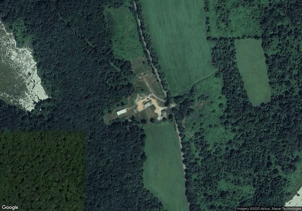
Map
Nearby Homes
- 241 N Brookfield Rd
- 76 N Brookfield Rd
- 379 Adams Rd
- 10 Rufus Putnam Rd
- 13 Washburn Terrace
- 1109 New Braintree Rd
- 48 Mill Rd Lot 2e
- 157 School St
- 39 Forest St
- 38 Mount Pleasant St
- 101 School St
- 8 Elm St
- 21 Spencer Rd
- 111 Northwest Rd
- 12 Cushing St
- 60 Gilbert St
- 716 Hardwick Rd
- 49 Oak Ln
- 38-3 Edson
- 4 E Brookfield Rd
- Lot 406-43 Charles Lane Rd
- 660 Moore Rd
- 0 Charles Lane Rd Unit 72240906
- 0 Charles Lane Rd Unit 72003700
- 0 Charles Lane Rd Unit 73086669
- 0 Charles Lane Rd Unit 72549184
- 0 Igoe Rd Unit 72017912
- 611 Moore Rd
- 329 Igoe Rd
- 356 Igoe Rd
- 775 Moore Rd
- 325 Moore Rd
- 20 Barnes Rd
- 823 Moore Rd
- 841 Moore Rd
- 21 Barnes Rd
- 30 Barnes Rd
- 17 Barnes Rd
- 19 Barnes Rd
- 14 Barnes Rd