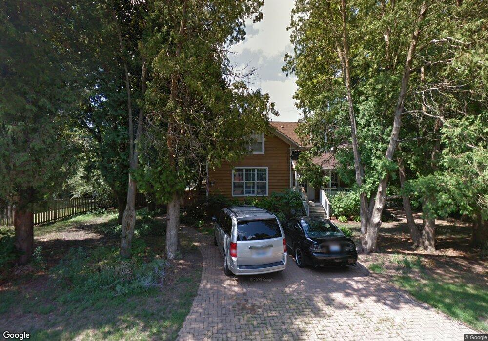
214 Circle Rd Fox River Grove, IL 60021
Estimated Value: $270,000 - $321,000
3
Beds
2
Baths
1,741
Sq Ft
$173/Sq Ft
Est. Value
About This Home
This home is located at 214 Circle Rd, Fox River Grove, IL 60021 and is currently estimated at $300,750, approximately $172 per square foot. 214 Circle Rd is a home located in McHenry County with nearby schools including Algonquin Road Elementary School, Fox River Grove Middle School, and Cary-Grove High School.
Ownership History
Date
Name
Owned For
Owner Type
Purchase Details
Closed on
Aug 25, 1997
Sold by
Roberts Scott B and Roberts Victoria
Bought by
Arden David W and Arden Diana K
Current Estimated Value
Home Financials for this Owner
Home Financials are based on the most recent Mortgage that was taken out on this home.
Original Mortgage
$127,200
Outstanding Balance
$19,834
Interest Rate
7.54%
Estimated Equity
$280,916
Create a Home Valuation Report for This Property
The Home Valuation Report is an in-depth analysis detailing your home's value as well as a comparison with similar homes in the area
Home Values in the Area
Average Home Value in this Area
Purchase History
| Date | Buyer | Sale Price | Title Company |
|---|---|---|---|
| Arden David W | $159,000 | Attorneys Natl Title Network |
Source: Public Records
Mortgage History
| Date | Status | Borrower | Loan Amount |
|---|---|---|---|
| Open | Arden David W | $127,200 |
Source: Public Records
Tax History
| Year | Tax Paid | Tax Assessment Tax Assessment Total Assessment is a certain percentage of the fair market value that is determined by local assessors to be the total taxable value of land and additions on the property. | Land | Improvement |
|---|---|---|---|---|
| 2024 | $8,254 | $94,120 | $19,643 | $74,477 |
| 2023 | $7,907 | $84,178 | $17,568 | $66,610 |
| 2022 | $8,115 | $84,676 | $17,250 | $67,426 |
| 2021 | $7,589 | $78,885 | $16,070 | $62,815 |
| 2020 | $7,394 | $76,092 | $15,501 | $60,591 |
| 2019 | $7,172 | $72,829 | $14,836 | $57,993 |
| 2018 | $7,047 | $67,278 | $13,705 | $53,573 |
| 2017 | $6,919 | $63,380 | $12,911 | $50,469 |
| 2016 | $6,812 | $59,444 | $12,109 | $47,335 |
| 2013 | -- | $55,453 | $11,296 | $44,157 |
Source: Public Records
Map
Nearby Homes
- 305 Circle Rd
- 105 Lincoln Ave
- 602 Birch Ln
- 404 Lucille Ave
- 705 Spring Beach Way
- Lot 1 Asbury Ave
- LOT 2 Asbury Ave
- 208 S River Rd
- 911 Johnson St
- 611 E Main Street Rd
- 1104 Hillcrest Ave
- 334 Bristol Ln Unit 6341
- 128 E Main St
- 501 Ski Hill Rd
- 124 E Main St
- 680 Spruce Tree Dr
- 5 Jacqueline Ln
- 542 Cary Woods Cir
- 2016 Grove Ln
- 112 Pearl St
Your Personal Tour Guide
Ask me questions while you tour the home.