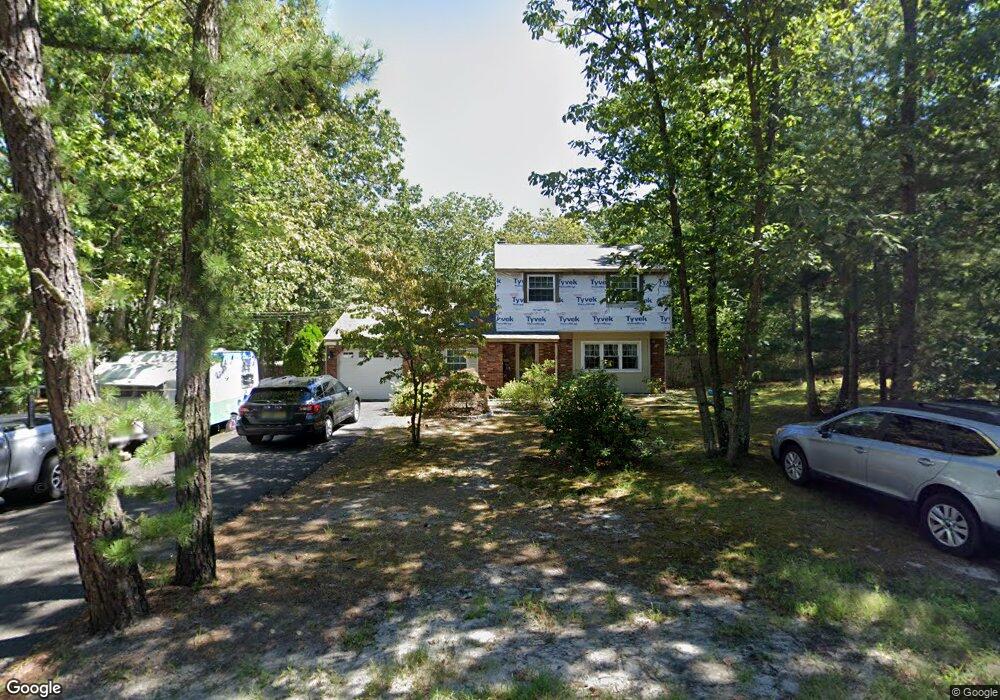
214 Crest Rd Marlton, NJ 08053
Estimated Value: $416,072 - $502,000
Studio
--
Bath
1,582
Sq Ft
$293/Sq Ft
Est. Value
About This Home
This home is located at 214 Crest Rd, Marlton, NJ 08053 and is currently estimated at $462,768, approximately $292 per square foot. 214 Crest Rd is a home located in Burlington County with nearby schools including Marlton Elementary School, Marlton Middle School, and Cherokee High School.
Ownership History
Date
Name
Owned For
Owner Type
Purchase Details
Closed on
Apr 23, 2002
Sold by
Wyche David L and Long Paula Jean
Bought by
Mccarthy Charles G and Mccarthy Josette
Current Estimated Value
Home Financials for this Owner
Home Financials are based on the most recent Mortgage that was taken out on this home.
Original Mortgage
$17,050
Interest Rate
7.13%
Mortgage Type
Credit Line Revolving
Create a Home Valuation Report for This Property
The Home Valuation Report is an in-depth analysis detailing your home's value as well as a comparison with similar homes in the area
Home Values in the Area
Average Home Value in this Area
Purchase History
| Date | Buyer | Sale Price | Title Company |
|---|---|---|---|
| Mccarthy Charles G | $170,500 | Surety Title Corporation |
Source: Public Records
Mortgage History
| Date | Status | Borrower | Loan Amount |
|---|---|---|---|
| Closed | Mccarthy Charles G | $17,050 | |
| Open | Mccarthy Charles G | $136,400 |
Source: Public Records
Tax History
| Year | Tax Paid | Tax Assessment Tax Assessment Total Assessment is a certain percentage of the fair market value that is determined by local assessors to be the total taxable value of land and additions on the property. | Land | Improvement |
|---|---|---|---|---|
| 2025 | $7,964 | $233,200 | $100,000 | $133,200 |
| 2024 | $7,493 | $233,200 | $100,000 | $133,200 |
| 2023 | $7,493 | $233,200 | $100,000 | $133,200 |
| 2022 | $7,157 | $233,200 | $100,000 | $133,200 |
| 2021 | $6,989 | $233,200 | $100,000 | $133,200 |
| 2020 | $6,898 | $233,200 | $100,000 | $133,200 |
| 2019 | $6,842 | $233,200 | $100,000 | $133,200 |
| 2018 | $6,746 | $233,200 | $100,000 | $133,200 |
| 2017 | $6,667 | $233,200 | $100,000 | $133,200 |
| 2016 | $6,504 | $233,200 | $100,000 | $133,200 |
| 2015 | $6,390 | $233,200 | $100,000 | $133,200 |
| 2014 | $6,208 | $233,200 | $100,000 | $133,200 |
Source: Public Records
Map
Nearby Homes
- 396 Holly Rd
- 235 Lakeshore Dr
- 124 Sycamore Ave
- 307 Fern Dr
- 20 Genova Dr
- 27 Ravenna Dr
- 31 Ravenna Dr
- 116 Clearfield Ave
- 122 Deerfield Ave
- 640 Hopewell Rd
- 71 Forrest Hills Dr
- 470 E Taunton Ave
- 28 Gainsboro Dr
- 405 Oak Ave
- 231 Peppermill Rd
- 309 Marion Ave
- 310 Marion Ave
- 260 Fairview Ave
- 449 Prospect Ave
- 339 Magnolia Ave
Your Personal Tour Guide
Ask me questions while you tour the home.