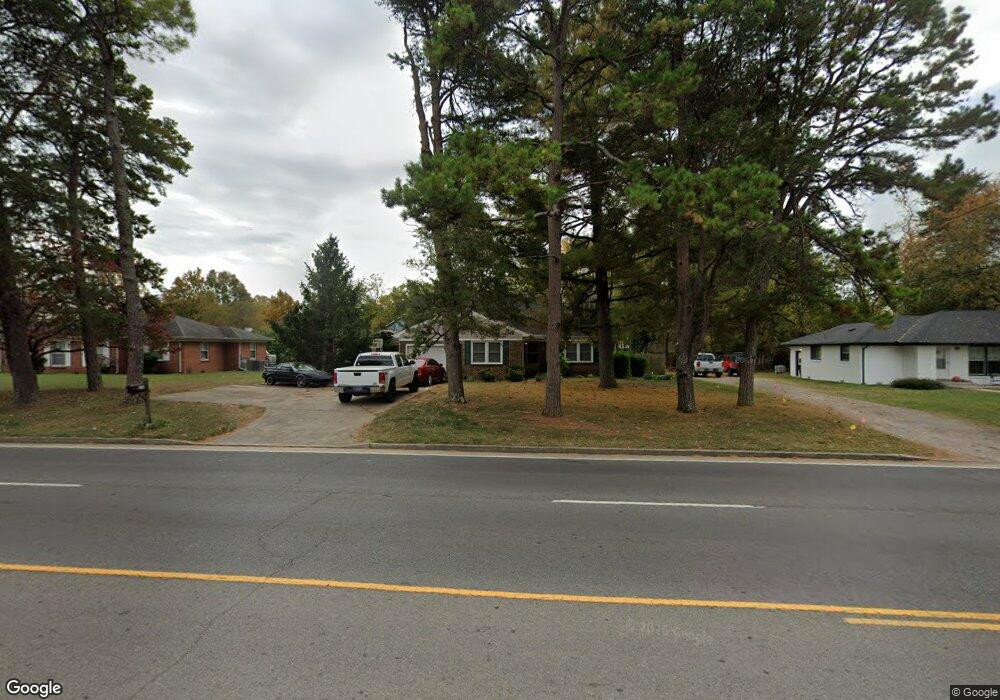
214 E Clark Blvd Murfreesboro, TN 37130
Estimated Value: $340,400 - $437,000
Studio
2
Baths
1,991
Sq Ft
$198/Sq Ft
Est. Value
About This Home
This home is located at 214 E Clark Blvd, Murfreesboro, TN 37130 and is currently estimated at $393,850, approximately $197 per square foot. 214 E Clark Blvd is a home located in Rutherford County with nearby schools including Mitchell-Neilson Elementary, Siegel Middle School, and Siegel High School.
Ownership History
Date
Name
Owned For
Owner Type
Purchase Details
Closed on
Nov 24, 1999
Sold by
Wright Randall A
Bought by
Wright David K
Current Estimated Value
Purchase Details
Closed on
Oct 10, 1996
Sold by
Bynum Hellene G
Bought by
Wright and Regina
Home Financials for this Owner
Home Financials are based on the most recent Mortgage that was taken out on this home.
Original Mortgage
$70,000
Interest Rate
8.21%
Create a Home Valuation Report for This Property
The Home Valuation Report is an in-depth analysis detailing your home's value as well as a comparison with similar homes in the area
Home Values in the Area
Average Home Value in this Area
Purchase History
We collect this data history from publicly available records. To have your information removed, we recommend requesting removal directly through your county’s website.
| Date | Buyer | Sale Price | Title Company |
|---|---|---|---|
| Wright David K | -- | -- | |
| Wright | $80,000 | -- |
Source: Public Records
Mortgage History
We collect this data history from publicly available records. To have your information removed, we recommend requesting removal directly through your county’s website.
| Date | Status | Borrower | Loan Amount |
|---|---|---|---|
| Closed | Wright | $76,000 | |
| Previous Owner | Wright | $70,000 |
Source: Public Records
Tax History
| Year | Tax Paid | Tax Assessment Tax Assessment Total Assessment is a certain percentage of the fair market value that is determined by local assessors to be the total taxable value of land and additions on the property. | Land | Improvement |
|---|---|---|---|---|
| 2025 | $2,029 | $72,025 | $13,750 | $58,275 |
| 2024 | $2,037 | $72,025 | $13,750 | $58,275 |
| 2023 | $1,351 | $72,025 | $13,750 | $58,275 |
| 2022 | $1,164 | $72,025 | $13,750 | $58,275 |
| 2021 | $1,104 | $49,750 | $12,500 | $37,250 |
| 2020 | $1,104 | $49,750 | $12,500 | $37,250 |
| 2019 | $1,104 | $49,750 | $12,500 | $37,250 |
| 2018 | $1,516 | $49,750 | $0 | $0 |
| 2017 | $1,437 | $36,975 | $0 | $0 |
| 2016 | $1,437 | $36,975 | $0 | $0 |
| 2015 | $1,437 | $36,975 | $0 | $0 |
| 2014 | $919 | $36,975 | $0 | $0 |
| 2013 | -- | $37,350 | $0 | $0 |
Source: Public Records
Map
Nearby Homes
- 110 E Mcknight Dr
- 218 Eventide Dr
- 1009 N Church St Unit 17
- 209 Kingwood Dr
- 1019 N Maple St Unit 2B
- 211 Kingwood Dr
- 301 Kingwood Dr
- 220 Chamberlain Dr
- 318 Kingwood Dr
- 904 N Maple St
- 225 Byrd Ave
- 1022 Poplar Ave
- 1107 Owen Layne Dr
- 418 Lynn St
- 311 Sadler Ct
- 807 N Maple St
- 1410 Huntington Dr Unit 12
- 608 Lynn St
- 805 N Highland Ave
- 725 N Highland Ave
- 211 Hillside Ct
- 215 Hillside Ct
- 217 Hillside Ct
- 205 Hillside Ct
- 221 Hillside Ct
- 203 Hillside Ct
- 223 Hillside Ct
- 202 Hillside Ct
- 218 E Clark Blvd
- 216 Hillside Ct
- 214 Hillside Ct
- 204 Hillside Ct
- 220 Hillside Ct
- 210 Hillside Ct
- 208 Hillside Ct
- 1303 Hodge Dr
- 222 Hillside Ct
- 227 Hillside Ct
- 226 Hillside Ct
- 222 E Clark Blvd
Your Personal Tour Guide
Ask me questions while you tour the home.