214 Frank Christian Rd Dahlonega, GA 30533
Estimated Value: $213,065 - $421,000
--
Bed
2
Baths
1,650
Sq Ft
$206/Sq Ft
Est. Value
About This Home
This home is located at 214 Frank Christian Rd, Dahlonega, GA 30533 and is currently estimated at $339,516, approximately $205 per square foot. 214 Frank Christian Rd is a home located in Lumpkin County with nearby schools including Lumpkin County High School.
Ownership History
Date
Name
Owned For
Owner Type
Purchase Details
Closed on
Dec 1, 2005
Sold by
Autrey Randy
Bought by
Autrey Randy W
Current Estimated Value
Purchase Details
Closed on
Sep 1, 2000
Sold by
Desylva Donald P
Bought by
Autrey Randy
Purchase Details
Closed on
Jan 1, 1983
Bought by
Desylva Donald P
Create a Home Valuation Report for This Property
The Home Valuation Report is an in-depth analysis detailing your home's value as well as a comparison with similar homes in the area
Home Values in the Area
Average Home Value in this Area
Purchase History
| Date | Buyer | Sale Price | Title Company |
|---|---|---|---|
| Autrey Randy W | -- | -- | |
| Autrey Randy | $107,000 | -- | |
| Desylva Donald P | -- | -- |
Source: Public Records
Tax History Compared to Growth
Tax History
| Year | Tax Paid | Tax Assessment Tax Assessment Total Assessment is a certain percentage of the fair market value that is determined by local assessors to be the total taxable value of land and additions on the property. | Land | Improvement |
|---|---|---|---|---|
| 2024 | $1,256 | $55,797 | $7,452 | $48,345 |
| 2023 | $773 | $52,404 | $7,452 | $44,952 |
| 2022 | $1,126 | $47,492 | $6,210 | $41,282 |
| 2021 | $981 | $40,342 | $6,210 | $34,132 |
| 2020 | $978 | $39,077 | $5,951 | $33,126 |
| 2019 | $987 | $39,077 | $5,951 | $33,126 |
| 2018 | $941 | $35,172 | $5,951 | $29,221 |
| 2017 | $932 | $34,204 | $5,951 | $28,253 |
| 2016 | $850 | $30,435 | $5,951 | $24,484 |
| 2015 | $783 | $30,434 | $5,951 | $24,484 |
| 2014 | $783 | $31,684 | $5,951 | $25,734 |
| 2013 | -- | $32,100 | $5,950 | $26,150 |
Source: Public Records
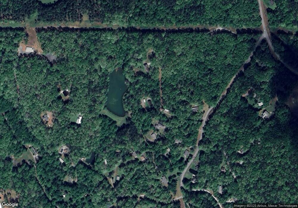
Map
Nearby Homes
- 154 Bear Cub Dr
- 239 Gentry Cir
- 529 Gentry Cir
- 204 Frank Christian Rd
- 538 Gentry Cir
- 240 Frank Christian Rd
- 52 Bear Cub Dr
- 116 Bear Cub Dr
- 103 Bear Cub Dr
- 312 Frank Christian Rd
- 160 Dickerson Rd
- 239 Frank Christian Rd
- 354 Braeburn Ln
- 246 Gentry Cir
- 340 Frank Christian Rd
- 303 Frank Christian Rd
- 398 Braeburn Ln
- 327 Frank Christian Rd
- 85 Frank Christian Rd
- 273 Frank Christian Rd