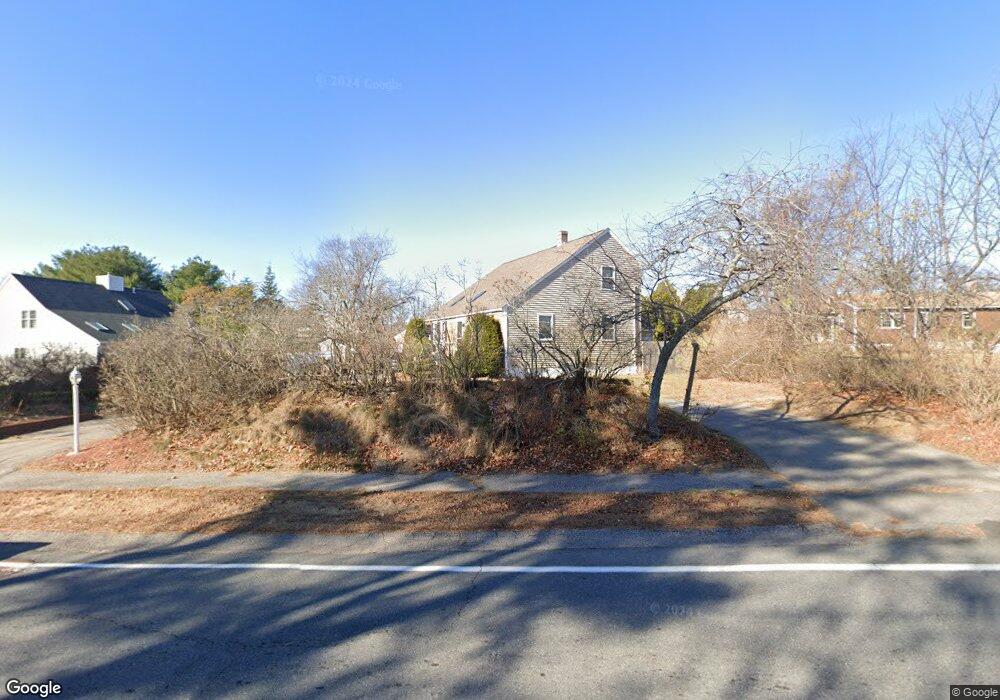
214 Landing Rd Hampton, NH 03842
Estimated Value: $634,000 - $734,000
About This Home
This home is located at 214 Landing Rd, Hampton, NH 03842 and is currently estimated at $706,839, approximately $408 per square foot. 214 Landing Rd is a home located in Rockingham County with nearby schools including Hampton Centre School, Adeline C. Marston Elementary School, and Hampton Academy.
Ownership History
We collect this data history from publicly available records. To have your information removed, we recommend requesting removal directly through your county’s website.
Purchase Details
Home Values in the Area
Average Home Value in this Area
Purchase History
We collect this data history from publicly available records. To have your information removed, we recommend requesting removal directly through your county’s website.
| Date | Buyer | Sale Price | Title Company |
|---|---|---|---|
| -- | -- |
Mortgage History
We collect this data history from publicly available records. To have your information removed, we recommend requesting removal directly through your county’s website.
| Date | Status | Borrower | Loan Amount |
|---|---|---|---|
| Open | $320,000 | ||
| Closed | $20,000 |
Tax History
We collect this data history from publicly available records. To have your information removed, we recommend requesting removal directly through your county’s website.
| Year | Tax Paid | Tax Assessment Tax Assessment Total Assessment is a certain percentage of the fair market value that is determined by local assessors to be the total taxable value of land and additions on the property. | Land | Improvement |
|---|---|---|---|---|
| 2025 | $6,814 | $553,100 | $245,300 | $307,800 |
| 2024 | $6,814 | $553,100 | $245,300 | $307,800 |
| 2023 | $6,593 | $393,600 | $163,500 | $230,100 |
| 2022 | $6,235 | $393,600 | $163,500 | $230,100 |
| 2021 | $6,235 | $393,600 | $163,500 | $230,100 |
| 2020 | $4,270 | $393,400 | $163,500 | $229,900 |
| 2019 | $6,298 | $393,400 | $163,500 | $229,900 |
| 2018 | $6,010 | $353,100 | $148,500 | $204,600 |
| 2017 | $5,780 | $353,100 | $148,500 | $204,600 |
| 2016 | $5,678 | $353,100 | $148,500 | $204,600 |
| 2015 | $5,721 | $298,600 | $129,100 | $169,500 |
| 2014 | $5,467 | $298,600 | $129,100 | $169,500 |
Map
- 76 Seabury
- 102 Seabury
- 59 Seabury
- 243 Winnacunnet Rd
- 173 Winnacunnet Rd
- 10 Mcdermott Rd
- 384 Winnacunnet Rd
- 7 Towle Ave
- 46 Mill Rd
- 0 Towle Ave Unit 44
- 16 Bruce St
- 407 Lafayette Rd
- 428 Lafayette Rd Unit 403
- 39 Dearborn Ave
- 470 Winnacunnet Rd Unit 1
- 25 Bonair Ave
- 83 Church St
- 46 Mace Rd
- 6 Cora Ave
- 8 Dunvegan Woods
Ask me questions while you tour the home.