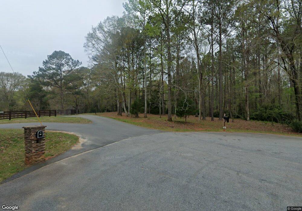
214 Loraine Forest Dr Macon, GA 31210
Estimated Value: $356,000 - $464,682
--
Bed
3
Baths
--
Sq Ft
29.98
Acres
About This Home
This home is located at 214 Loraine Forest Dr, Macon, GA 31210 and is currently estimated at $424,894. 214 Loraine Forest Dr is a home located in Monroe County with nearby schools including T.G. Scott Elementary School, Mary Persons High School, and St. Andrews Montessori School.
Ownership History
Date
Name
Owned For
Owner Type
Purchase Details
Closed on
Feb 10, 2015
Sold by
Kortes William Larson
Bought by
Faulkner Gary A and Faulkner Kimberly L
Current Estimated Value
Purchase Details
Closed on
Feb 19, 2014
Sold by
Loraine Forest Properties
Bought by
Kortes William Larson and Kortes Laurie P
Home Financials for this Owner
Home Financials are based on the most recent Mortgage that was taken out on this home.
Original Mortgage
$150,826
Interest Rate
4.43%
Mortgage Type
New Conventional
Purchase Details
Closed on
Aug 10, 2010
Sold by
Loraine Forest Properties
Bought by
Mead Irene S
Purchase Details
Closed on
Jul 15, 2008
Sold by
Raburn Phil
Bought by
Loraine Forest Properties Llc
Purchase Details
Closed on
Jul 14, 2008
Sold by
Raburn Mary G
Bought by
Raburn Mary G
Purchase Details
Closed on
Nov 22, 1983
Sold by
Fowler John G
Bought by
Raburn Elmer L Rabun
Create a Home Valuation Report for This Property
The Home Valuation Report is an in-depth analysis detailing your home's value as well as a comparison with similar homes in the area
Home Values in the Area
Average Home Value in this Area
Purchase History
| Date | Buyer | Sale Price | Title Company |
|---|---|---|---|
| Faulkner Gary A | $282,500 | -- | |
| Kortes William Larson | -- | -- | |
| Kortes William Larson | $185,000 | -- | |
| Mead Irene S | $240,000 | -- | |
| Mead Irene S | $240,000 | -- | |
| Loraine Forest Properties Llc | $425,000 | -- | |
| Raburn Phil | $400,000 | -- | |
| Raburn Mary G | -- | -- | |
| Raburn Elmer L Rabun | $119,000 | -- |
Source: Public Records
Mortgage History
| Date | Status | Borrower | Loan Amount |
|---|---|---|---|
| Previous Owner | Kortes William Larson | $150,826 |
Source: Public Records
Tax History Compared to Growth
Tax History
| Year | Tax Paid | Tax Assessment Tax Assessment Total Assessment is a certain percentage of the fair market value that is determined by local assessors to be the total taxable value of land and additions on the property. | Land | Improvement |
|---|---|---|---|---|
| 2024 | $3,493 | $124,080 | $45,680 | $78,400 |
| 2023 | $3,501 | $124,080 | $45,680 | $78,400 |
| 2022 | $3,359 | $124,080 | $45,680 | $78,400 |
| 2021 | $3,478 | $124,080 | $45,680 | $78,400 |
| 2020 | $1,498 | $52,120 | $45,680 | $6,440 |
| 2019 | $1,509 | $52,120 | $45,680 | $6,440 |
| 2018 | $1,514 | $52,120 | $45,680 | $6,440 |
| 2017 | $1,515 | $52,120 | $45,680 | $6,440 |
| 2016 | $1,440 | $52,120 | $45,680 | $6,440 |
| 2015 | $1,251 | $47,732 | $44,080 | $3,652 |
| 2014 | $710 | $28,092 | $24,440 | $3,652 |
Source: Public Records
Map
Nearby Homes
- 214 Loraine Forest Dr
- 208 Loraine Forest Dr
- 115 Loraine Woods Place
- 205 Loraine Forest Dr
- 204 Loraine Forest Dr
- 111 Loraine Woods Place
- 112 Loraine Woods Place
- 100 Loraine Forest Ct
- 110 Loraine Woods Place
- 110 Loraine Woods Place Unit 16
- 200 Loraine Forest Dr
- 0 Loraine Woods Place Unit 7602782
- 0 Loraine Woods Place
- 104 Loraine Forest Ct
- 101 Loraine Forest Ct
- 209 Loraine Woods Dr
- 211 Loraine Woods Dr
- 301 Loraine Woods Dr
- 105 Loraine Woods Ct
- 210 Loraine Forest Dr