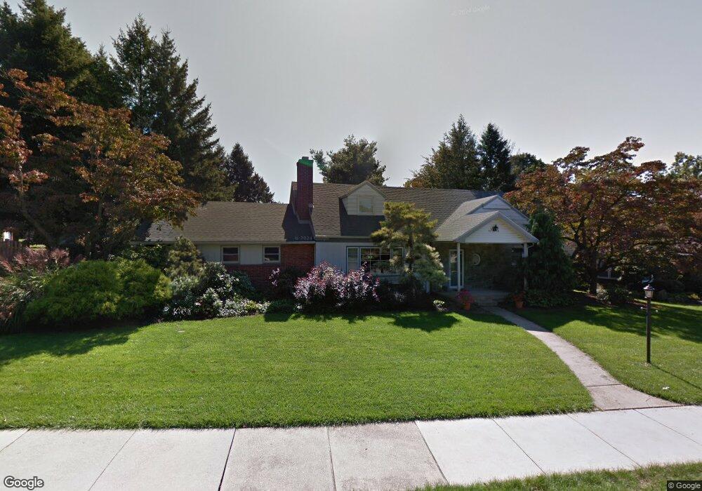
214 Maple Ave Reading, PA 19607
Estimated Value: $316,000 - $437,000
3
Beds
2
Baths
2,277
Sq Ft
$162/Sq Ft
Est. Value
About This Home
This home is located at 214 Maple Ave, Reading, PA 19607 and is currently estimated at $369,612, approximately $162 per square foot. 214 Maple Ave is a home located in Berks County with nearby schools including Cumru Elementary School, Governor Mifflin Intermediate School, and Governor Mifflin Middle School.
Ownership History
Date
Name
Owned For
Owner Type
Purchase Details
Closed on
May 9, 2019
Sold by
Kershner Kevin P and Kershner Suzanne D
Bought by
Mickulik Stephen William and Mickulik Kelly Suzanne
Current Estimated Value
Home Financials for this Owner
Home Financials are based on the most recent Mortgage that was taken out on this home.
Original Mortgage
$230,000
Outstanding Balance
$201,806
Interest Rate
4.1%
Mortgage Type
Purchase Money Mortgage
Estimated Equity
$167,806
Create a Home Valuation Report for This Property
The Home Valuation Report is an in-depth analysis detailing your home's value as well as a comparison with similar homes in the area
Home Values in the Area
Average Home Value in this Area
Purchase History
| Date | Buyer | Sale Price | Title Company |
|---|---|---|---|
| Mickulik Stephen William | -- | None Available |
Source: Public Records
Mortgage History
| Date | Status | Borrower | Loan Amount |
|---|---|---|---|
| Open | Mickulik Stephen William | $230,000 |
Source: Public Records
Tax History
| Year | Tax Paid | Tax Assessment Tax Assessment Total Assessment is a certain percentage of the fair market value that is determined by local assessors to be the total taxable value of land and additions on the property. | Land | Improvement |
|---|---|---|---|---|
| 2025 | $2,433 | $150,600 | $76,500 | $74,100 |
| 2024 | $6,865 | $150,600 | $76,500 | $74,100 |
| 2023 | $6,686 | $150,600 | $76,500 | $74,100 |
| 2022 | $6,611 | $150,600 | $76,500 | $74,100 |
| 2021 | $6,536 | $150,600 | $76,500 | $74,100 |
| 2020 | $6,536 | $150,600 | $76,500 | $74,100 |
| 2019 | $4,221 | $150,600 | $76,500 | $74,100 |
| 2018 | $6,385 | $150,600 | $76,500 | $74,100 |
| 2017 | $6,267 | $150,600 | $76,500 | $74,100 |
| 2016 | $2,142 | $150,600 | $76,500 | $74,100 |
| 2015 | $2,142 | $150,600 | $76,500 | $74,100 |
| 2014 | $1,957 | $150,600 | $76,500 | $74,100 |
Source: Public Records
Map
Nearby Homes
- 405 State St
- 1504 Old Mill Rd
- 202 Museum Rd
- 131 E Elm St
- 311 Lynoak Ave
- 200 W Lancaster Ave
- 1716 Liggett Ave
- 24 Philadelphia Ave
- 31 S Sterley St Unit 401
- 1617 Meadowlark Rd
- 526 Harding Ave
- 511 Grill Ave
- 1913 Meadow Ln
- 135 Chestnut St
- 1979 Meadow Ln
- 204 High Blvd
- 1519 Meadowlark Rd
- 1432 Liggett Ave
- 1406 Farr Rd
- 1100 Wyomissing Blvd
- 210 Maple Ave
- 508 N Waverly St
- 506 N Waverly St
- 519 N Wyomissing Ave
- 523 N Wyomissing Ave
- 215 Maple Ave
- 515 N Wyomissing Ave
- 504 N Waverly St
- 523 State St
- 519 State St
- 527 State St
- 515 State St
- 500 N Waverly St
- 605 N Waverly St
- 211 Maple Ave
- 632 N Waverly St
- 509 N Waverly St
- 623 N Waverly St
- 501 State St
- 505 N Waverly St
Your Personal Tour Guide
Ask me questions while you tour the home.