214 Mckenney Rd Saco, ME 04072
North Saco NeighborhoodEstimated Value: $554,000 - $712,000
3
Beds
2
Baths
1,904
Sq Ft
$322/Sq Ft
Est. Value
About This Home
This home is located at 214 Mckenney Rd, Saco, ME 04072 and is currently estimated at $613,358, approximately $322 per square foot. 214 Mckenney Rd is a home located in York County with nearby schools including C K Burns School and Saco Middle School.
Ownership History
Date
Name
Owned For
Owner Type
Purchase Details
Closed on
Jan 27, 2006
Sold by
Brewer Suzanne and Brewer Stephen G
Bought by
Anderson Christian C
Current Estimated Value
Home Financials for this Owner
Home Financials are based on the most recent Mortgage that was taken out on this home.
Original Mortgage
$230,136
Outstanding Balance
$129,145
Interest Rate
6.34%
Mortgage Type
Purchase Money Mortgage
Estimated Equity
$484,213
Create a Home Valuation Report for This Property
The Home Valuation Report is an in-depth analysis detailing your home's value as well as a comparison with similar homes in the area
Home Values in the Area
Average Home Value in this Area
Purchase History
| Date | Buyer | Sale Price | Title Company |
|---|---|---|---|
| Anderson Christian C | -- | -- |
Source: Public Records
Mortgage History
| Date | Status | Borrower | Loan Amount |
|---|---|---|---|
| Open | Anderson Christian C | $230,136 | |
| Closed | Anderson Christian C | $43,150 |
Source: Public Records
Tax History Compared to Growth
Tax History
| Year | Tax Paid | Tax Assessment Tax Assessment Total Assessment is a certain percentage of the fair market value that is determined by local assessors to be the total taxable value of land and additions on the property. | Land | Improvement |
|---|---|---|---|---|
| 2024 | $6,189 | $440,500 | $147,100 | $293,400 |
| 2023 | $6,497 | $440,500 | $147,100 | $293,400 |
| 2022 | $5,807 | $316,800 | $112,000 | $204,800 |
| 2021 | $5,602 | $296,700 | $100,700 | $196,000 |
| 2020 | $5,252 | $267,000 | $88,700 | $178,300 |
| 2019 | $5,174 | $267,000 | $88,700 | $178,300 |
| 2018 | $5,017 | $258,900 | $80,600 | $178,300 |
| 2017 | $4,539 | $234,200 | $73,600 | $160,600 |
| 2016 | $4,150 | $213,700 | $58,600 | $155,100 |
| 2015 | $4,044 | $210,400 | $57,300 | $153,100 |
| 2014 | $3,918 | $210,400 | $57,300 | $153,100 |
| 2013 | $3,909 | $210,400 | $57,300 | $153,100 |
Source: Public Records
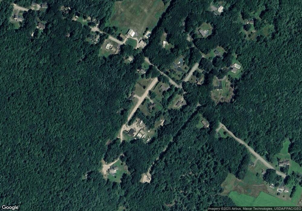
Map
Nearby Homes
- 130 Mckenney Rd
- 177 Old Orchard Rd
- 0 Beech Plains Rd
- 48 Tickle Way
- 9 Bonita Way
- 281 Narragansett Trail
- 37 Boynton Rd
- 430 Narragansett Trail
- 445 Portland Rd
- 158 Lord Rd
- 38 Johnson Farm Rd
- 17 Johnson Farm Rd
- 3 Nonesuch Rd
- 9 Johnson Farm Rd
- 110/009 Mast Hill Rd
- 28 E Wind Dr
- 1135 River Rd
- 222 Main St
- Lot 1 & 2 Memory Ln
- 436 Flag Pond Rd