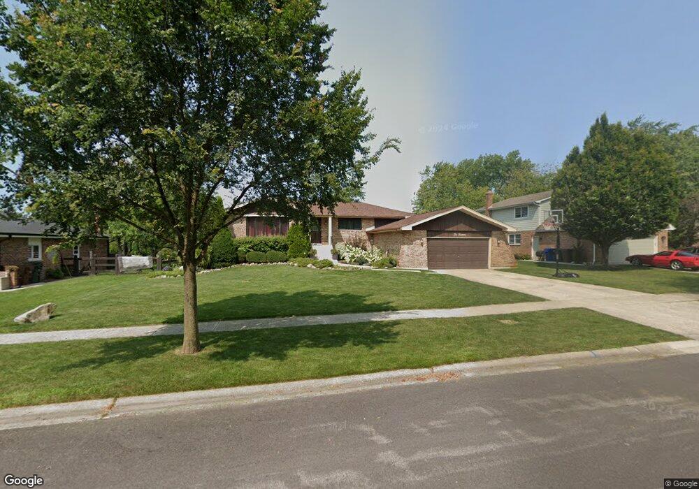
214 Mulberry Rd Frankfort, IL 60423
North Frankfort NeighborhoodEstimated Value: $369,891 - $423,000
3
Beds
2
Baths
1,498
Sq Ft
$260/Sq Ft
Est. Value
About This Home
This home is located at 214 Mulberry Rd, Frankfort, IL 60423 and is currently estimated at $390,223, approximately $260 per square foot. 214 Mulberry Rd is a home located in Will County with nearby schools including Grand Prairie Elementary School, Chelsea Intermediate School, and Hickory Creek Middle School.
Ownership History
Date
Name
Owned For
Owner Type
Purchase Details
Closed on
Dec 30, 2010
Sold by
Amato Audrey M and Emily T Lale Living Trust
Bought by
Delesio Matthew and Delesio Angela
Current Estimated Value
Home Financials for this Owner
Home Financials are based on the most recent Mortgage that was taken out on this home.
Original Mortgage
$229,042
Outstanding Balance
$149,201
Interest Rate
3.87%
Mortgage Type
FHA
Estimated Equity
$241,022
Create a Home Valuation Report for This Property
The Home Valuation Report is an in-depth analysis detailing your home's value as well as a comparison with similar homes in the area
Home Values in the Area
Average Home Value in this Area
Purchase History
| Date | Buyer | Sale Price | Title Company |
|---|---|---|---|
| Delesio Matthew | $235,000 | Attorneys Title Guaranty Fun |
Source: Public Records
Mortgage History
| Date | Status | Borrower | Loan Amount |
|---|---|---|---|
| Open | Delesio Matthew | $229,042 |
Source: Public Records
Tax History Compared to Growth
Tax History
| Year | Tax Paid | Tax Assessment Tax Assessment Total Assessment is a certain percentage of the fair market value that is determined by local assessors to be the total taxable value of land and additions on the property. | Land | Improvement |
|---|---|---|---|---|
| 2024 | $6,616 | $91,503 | $21,871 | $69,632 |
| 2023 | $6,616 | $81,721 | $19,533 | $62,188 |
| 2022 | $5,808 | $74,434 | $17,791 | $56,643 |
| 2021 | $5,461 | $69,636 | $16,644 | $52,992 |
| 2020 | $5,359 | $67,674 | $16,175 | $51,499 |
| 2019 | $5,142 | $65,863 | $15,742 | $50,121 |
| 2018 | $5,044 | $63,969 | $15,289 | $48,680 |
| 2017 | $5,034 | $62,476 | $14,932 | $47,544 |
| 2016 | $4,908 | $60,334 | $14,420 | $45,914 |
| 2015 | $4,775 | $58,209 | $13,912 | $44,297 |
| 2014 | $4,775 | $57,804 | $13,815 | $43,989 |
| 2013 | $4,775 | $58,553 | $13,994 | $44,559 |
Source: Public Records
Map
Nearby Homes
- 481 Pleasant Hill Rd
- 425 Cottonwood Rd
- 10214 Frankfort Main
- 935 N Butternut Cir
- 9748 Folkers Dr
- 21709 Cappel Ln
- 9772 Folkers Dr
- 9736 Folkers Dr
- 9724 Folkers Dr
- 725 Birchwood Rd
- 728 Stonebridge Rd
- 14 Old Frankfort Way
- 764 Leslie Ln
- 8551 W Lincoln Hwy
- Lot 3 Town Center Dr
- 1018 S Butternut Cir
- 10993 Pioneer Trail
- 21938 Princeton Cir
- 117 Linden Dr
- 130 Evergreen Dr
- 226 Mulberry Rd
- 202 Mulberry Rd
- 209 Johnson Ave
- 238 Mulberry Rd
- 225 Johnson Ave
- 213 Mulberry Rd
- 237 Johnson Ave
- 201 Mulberry Rd
- 250 Mulberry Rd
- 652 Franklin Ave
- 237 Mulberry Rd
- 249 Johnson Ave
- 642 Franklin Ave
- 632 Franklin Ave
- 622 Franklin Ave
- 249 Mulberry Rd
- 262 Mulberry Rd
- 662 Franklin Ave
- 672 Franklin Ave
- 612 Franklin Ave