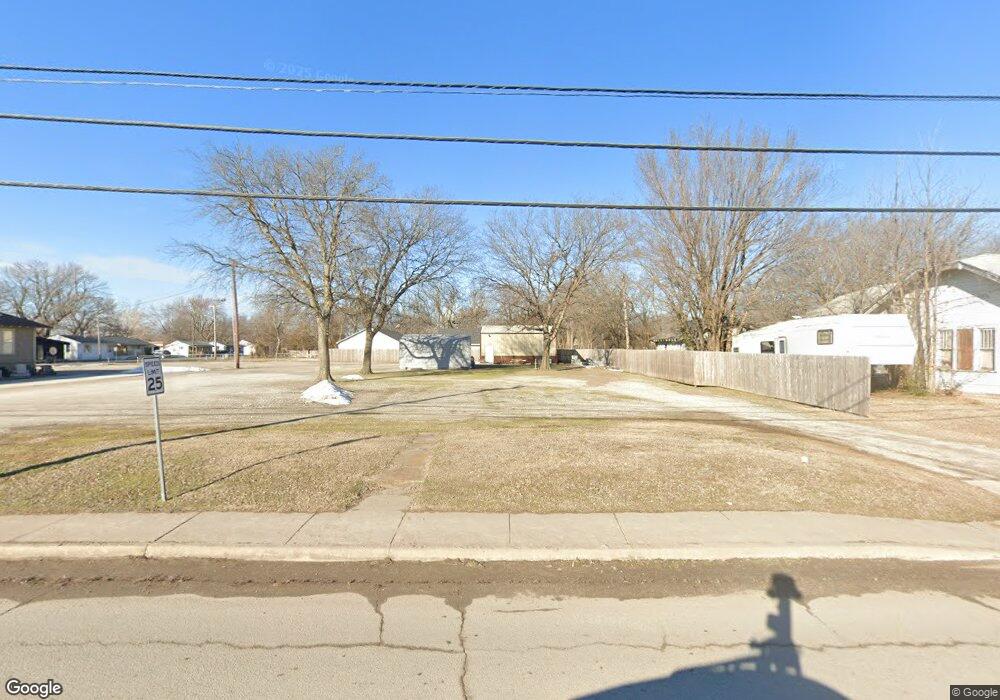
214 N Cincinnati Ave Sperry, OK 74073
Estimated Value: $51,807 - $85,000
--
Bed
1
Bath
936
Sq Ft
$67/Sq Ft
Est. Value
About This Home
This home is located at 214 N Cincinnati Ave, Sperry, OK 74073 and is currently estimated at $62,936, approximately $67 per square foot. 214 N Cincinnati Ave is a home located in Tulsa County with nearby schools including Sperry Elementary School, Sperry Middle School, and Sperry High School.
Ownership History
Date
Name
Owned For
Owner Type
Purchase Details
Closed on
May 22, 2025
Sold by
Johnson Phillip G
Bought by
Phillip Johnson Real Estate Holdings
Current Estimated Value
Purchase Details
Closed on
Mar 18, 2010
Sold by
Rose Shirley A
Bought by
Johnson Phillip Gene and Johnson Pamela J
Home Financials for this Owner
Home Financials are based on the most recent Mortgage that was taken out on this home.
Original Mortgage
$22,393
Interest Rate
5%
Mortgage Type
Unknown
Purchase Details
Closed on
Feb 1, 1987
Create a Home Valuation Report for This Property
The Home Valuation Report is an in-depth analysis detailing your home's value as well as a comparison with similar homes in the area
Home Values in the Area
Average Home Value in this Area
Purchase History
| Date | Buyer | Sale Price | Title Company |
|---|---|---|---|
| Phillip Johnson Real Estate Holdings | -- | None Listed On Document | |
| Johnson Phillip Gene | $25,000 | First American Title & Abstr | |
| -- | $16,000 | -- |
Source: Public Records
Mortgage History
| Date | Status | Borrower | Loan Amount |
|---|---|---|---|
| Previous Owner | Johnson Phillip Gene | $22,393 |
Source: Public Records
Tax History Compared to Growth
Tax History
| Year | Tax Paid | Tax Assessment Tax Assessment Total Assessment is a certain percentage of the fair market value that is determined by local assessors to be the total taxable value of land and additions on the property. | Land | Improvement |
|---|---|---|---|---|
| 2024 | $137 | $1,234 | $1,234 | -- |
| 2023 | $137 | $1,234 | $1,234 | $0 |
| 2022 | $346 | $3,086 | $1,234 | $1,852 |
| 2021 | $338 | $3,032 | $1,213 | $1,819 |
| 2020 | $322 | $2,888 | $1,155 | $1,733 |
| 2019 | $309 | $2,750 | $1,100 | $1,650 |
| 2018 | $309 | $2,750 | $1,100 | $1,650 |
| 2017 | $299 | $2,750 | $1,100 | $1,650 |
| 2016 | $298 | $2,750 | $1,100 | $1,650 |
| 2015 | $296 | $2,750 | $1,100 | $1,650 |
| 2014 | $293 | $2,750 | $1,100 | $1,650 |
Source: Public Records
Map
Nearby Homes
- 9545 S Cincinnati St
- 202 W Ada St
- 10201 N Cincinnati Ave
- 109 N Coal St
- 308 S Cincinnati Ave
- 299 W Cherry
- 0 Sunset Unit 2544339
- 0 Sunset Unit 2544356
- 9610 N Peoria Ave
- 4787 E 106th St N
- 2012 W 88th St N
- 9839 N Peoria Ave
- 9084 N Osage Dr
- 8588 N Cincinnati Ave
- 1819 W Oak Knoll
- 9026 Crestwood Dr
- 4812 E 76th
- 10739 N 25th West Ave
- 6146 W 108th St N
- 2744 W 103rd St N