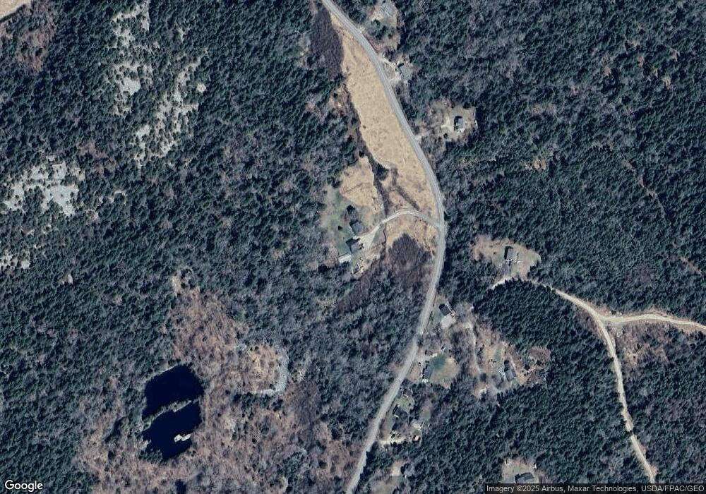
214 N Haven Rd Vinalhaven, ME 04863
Estimated Value: $410,000 - $618,000
--
Bed
--
Bath
--
Sq Ft
7.5
Acres
About This Home
This home is located at 214 N Haven Rd, Vinalhaven, ME 04863 and is currently estimated at $521,015. 214 N Haven Rd is a home with nearby schools including Vinalhaven School.
Ownership History
Date
Name
Owned For
Owner Type
Purchase Details
Closed on
Aug 30, 2013
Sold by
Philbrook Shelley
Bought by
Philbrook Shelley and Ames Darren T
Current Estimated Value
Home Financials for this Owner
Home Financials are based on the most recent Mortgage that was taken out on this home.
Original Mortgage
$134,000
Outstanding Balance
$99,385
Interest Rate
4.4%
Mortgage Type
Commercial
Estimated Equity
$421,630
Purchase Details
Closed on
Jul 15, 2013
Sold by
Andrews Thomas J and Andrews Shelly L
Bought by
Philbrook Shelley
Home Financials for this Owner
Home Financials are based on the most recent Mortgage that was taken out on this home.
Original Mortgage
$134,000
Outstanding Balance
$99,385
Interest Rate
4.4%
Mortgage Type
Commercial
Estimated Equity
$421,630
Create a Home Valuation Report for This Property
The Home Valuation Report is an in-depth analysis detailing your home's value as well as a comparison with similar homes in the area
Home Values in the Area
Average Home Value in this Area
Purchase History
| Date | Buyer | Sale Price | Title Company |
|---|---|---|---|
| Philbrook Shelley | -- | -- | |
| Philbrook Shelley | -- | -- |
Source: Public Records
Mortgage History
| Date | Status | Borrower | Loan Amount |
|---|---|---|---|
| Open | Philbrook Shelley | $134,000 |
Source: Public Records
Tax History Compared to Growth
Tax History
| Year | Tax Paid | Tax Assessment Tax Assessment Total Assessment is a certain percentage of the fair market value that is determined by local assessors to be the total taxable value of land and additions on the property. | Land | Improvement |
|---|---|---|---|---|
| 2025 | $6,586 | $491,500 | $72,300 | $419,200 |
| 2024 | $6,340 | $491,500 | $72,300 | $419,200 |
| 2023 | $6,045 | $491,500 | $72,300 | $419,200 |
| 2022 | $5,755 | $491,500 | $72,300 | $419,200 |
| 2021 | $6,445 | $469,400 | $50,200 | $419,200 |
| 2020 | $6,283 | $461,000 | $45,100 | $415,900 |
| 2019 | $5,933 | $461,000 | $45,100 | $415,900 |
| 2018 | $5,656 | $461,000 | $45,100 | $415,900 |
| 2017 | $5,260 | $461,000 | $45,100 | $415,900 |
| 2016 | $5,219 | $461,000 | $45,100 | $415,900 |
| 2015 | $4,684 | $461,000 | $45,100 | $415,900 |
| 2014 | $4,587 | $461,000 | $45,100 | $415,900 |
Source: Public Records
Map
Nearby Homes
- 32 High St
- 00 Tolman Rd
- 24 Old Harbor Rd
- 7 Mountain St
- 26 W Main St
- 64 Main St
- 62 W Main St
- 15 Main St
- 111 E Main St
- 38 W Main St Unit 1
- 006-60 Round the Island Rd
- 27 Clam Shell Aly
- 50 E Boston Rd
- 46 Atlantic Ave
- 0A Old Harbor Rd
- 129 E East Boston Rd
- TBD Burying Island
- Lot #5 George Wright Rd
- 90 Greens Island
- 14 Kingsbury Point