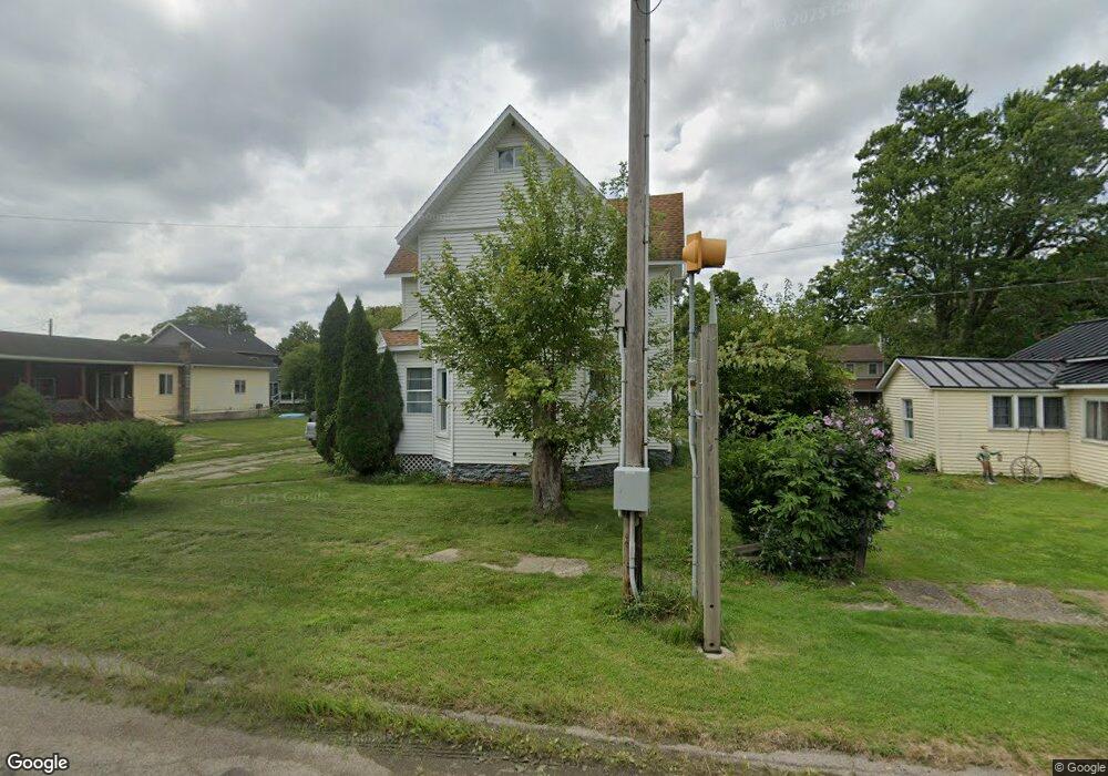
214 N Steer St Addison, MI 49220
Estimated Value: $113,000 - $155,000
3
Beds
1
Bath
1,685
Sq Ft
$79/Sq Ft
Est. Value
About This Home
This home is located at 214 N Steer St, Addison, MI 49220 and is currently estimated at $132,374, approximately $78 per square foot. 214 N Steer St is a home located in Lenawee County with nearby schools including Addison Elementary School, Addison Middle School, and Addison High School.
Ownership History
Date
Name
Owned For
Owner Type
Purchase Details
Closed on
Dec 5, 2014
Sold by
Reed Herbert Weldon and Reed Kathleen S
Bought by
Reed Family Revocable Trust and Reed Kathleen S
Current Estimated Value
Purchase Details
Closed on
Aug 27, 2004
Sold by
Nancy A Smith Irrevocable Trust
Bought by
Stanley Randy L and Stanley Kathy E
Home Financials for this Owner
Home Financials are based on the most recent Mortgage that was taken out on this home.
Original Mortgage
$80,000
Interest Rate
5.89%
Mortgage Type
New Conventional
Create a Home Valuation Report for This Property
The Home Valuation Report is an in-depth analysis detailing your home's value as well as a comparison with similar homes in the area
Home Values in the Area
Average Home Value in this Area
Purchase History
| Date | Buyer | Sale Price | Title Company |
|---|---|---|---|
| Reed Family Revocable Trust | -- | None Available | |
| Stanley Randy L | $42,000 | Barristers Title Agency | |
| Stanley Randy L | $42,000 | -- |
Source: Public Records
Mortgage History
| Date | Status | Borrower | Loan Amount |
|---|---|---|---|
| Previous Owner | Stanley Randy L | $80,000 |
Source: Public Records
Tax History Compared to Growth
Tax History
| Year | Tax Paid | Tax Assessment Tax Assessment Total Assessment is a certain percentage of the fair market value that is determined by local assessors to be the total taxable value of land and additions on the property. | Land | Improvement |
|---|---|---|---|---|
| 2025 | $645 | $48,700 | $0 | $0 |
| 2024 | $288 | $42,600 | $0 | $0 |
| 2023 | -- | $33,900 | $0 | $0 |
| 2022 | $588 | $34,400 | $0 | $0 |
| 2021 | $700 | $29,400 | $0 | $0 |
| 2020 | $686 | $39,200 | $0 | $0 |
| 2019 | $53,000 | $39,200 | $0 | $0 |
| 2018 | $667 | $45,720 | $0 | $0 |
| 2017 | $648 | $46,057 | $0 | $0 |
| 2016 | $648 | $45,218 | $0 | $0 |
| 2014 | -- | $66,023 | $0 | $0 |
Source: Public Records
Map
Nearby Homes
- 305 N Steer St
- 135 S Steer St
- 236 S Steer St
- 6482 Sorby Hwy
- 5875 U S 127
- 9010 U S 127
- 13820 N Adams Rd
- 0
- VL Manitou Beach Road Proposed
- 0 Manitou Beach Rd Lot B
- 9254 Cherry Point Rd
- 8484 N Rollin Hwy
- 9265 Devils Lake Hwy
- 360 Park St
- 8676 Cherry Point Dr
- 348 Lenawee St
- 1100 Elm Blk St
- 15858 Lelah Ln
- 6000 Devils Lake Hwy
- 17475 U S 223
- 218 N Steer St
- 210 N Steer St
- 219 N Steer St
- 215 Railroad St
- 300 N Steer St Unit BLK
- 300 N Steer St Unit BLK
- 208 Saunders St
- 212 Saunders St
- 216 Saunders St
- 225 Railroad St
- 211 N Steer St
- 219 Railroad St
- 220 Railroad St
- 201 N Steer St
- 222 Saunders St
- 1001 U S 127 Unit 17575 US-223
- 1001 U S 127
- 236 Saunders St
- 117 N Steer St
- 226 Saunders St