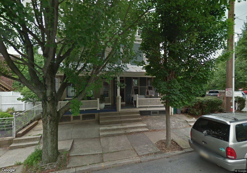
214 Nevin St Lancaster, PA 17603
Chestnut Hill NeighborhoodEstimated Value: $213,000 - $357,000
3
Beds
1
Bath
1,706
Sq Ft
$187/Sq Ft
Est. Value
About This Home
This home is located at 214 Nevin St, Lancaster, PA 17603 and is currently estimated at $318,487, approximately $186 per square foot. 214 Nevin St is a home located in Lancaster County with nearby schools including Thomas Wharton Elementary School, Reynolds Middle School, and McCaskey High School.
Create a Home Valuation Report for This Property
The Home Valuation Report is an in-depth analysis detailing your home's value as well as a comparison with similar homes in the area
Home Values in the Area
Average Home Value in this Area
Tax History Compared to Growth
Tax History
| Year | Tax Paid | Tax Assessment Tax Assessment Total Assessment is a certain percentage of the fair market value that is determined by local assessors to be the total taxable value of land and additions on the property. | Land | Improvement |
|---|---|---|---|---|
| 2025 | $5,924 | $149,700 | $35,100 | $114,600 |
| 2024 | $5,924 | $149,700 | $35,100 | $114,600 |
| 2023 | $5,824 | $149,700 | $35,100 | $114,600 |
| 2022 | $5,581 | $149,700 | $35,100 | $114,600 |
| 2021 | $5,462 | $149,700 | $35,100 | $114,600 |
| 2020 | $5,462 | $149,700 | $35,100 | $114,600 |
| 2019 | $5,380 | $149,700 | $35,100 | $114,600 |
| 2018 | $2,756 | $149,700 | $35,100 | $114,600 |
| 2017 | $4,051 | $88,200 | $22,200 | $66,000 |
| 2016 | $4,014 | $88,200 | $22,200 | $66,000 |
| 2015 | $1,566 | $88,200 | $22,200 | $66,000 |
| 2014 | $3,076 | $88,200 | $22,200 | $66,000 |
Source: Public Records
Map
Nearby Homes
- 662 W Chestnut St
- 510 W Chestnut St
- 623 Marietta Ave
- 228 N Mary St
- 658 W Walnut St
- 772 Marietta Ave
- 514 W Orange St
- 512 W Walnut St
- 17 Coral St
- 115 College Ave
- 550 1st St
- 522 W King St
- 29 Old Dorwart St
- 245 Lancaster Ave
- 813 Columbia Ave
- 118 N Charlotte St
- 815 Columbia Ave
- 132 Reo Ave
- 28 N Charlotte St
- 720 1st St
- 212 Nevin St
- 611 W Chestnut St
- 605 W Chestnut St
- 603 W Chestnut St
- 607 W Chestnut St
- 601 W Chestnut St
- 609 W Chestnut St
- 613 W Chestnut St
- 613 W Chestnut St Unit 2
- 615 W Chestnut St
- 559 W Chestnut St
- 557 W Chestnut St
- 617 W Chestnut St
- 555 W Chestnut St
- 232 Nevin St
- 553 W Chestnut St
- 234 Nevin St
- 219 Nevin St
- 623 W Chestnut St Unit C
- 623 W Chestnut St