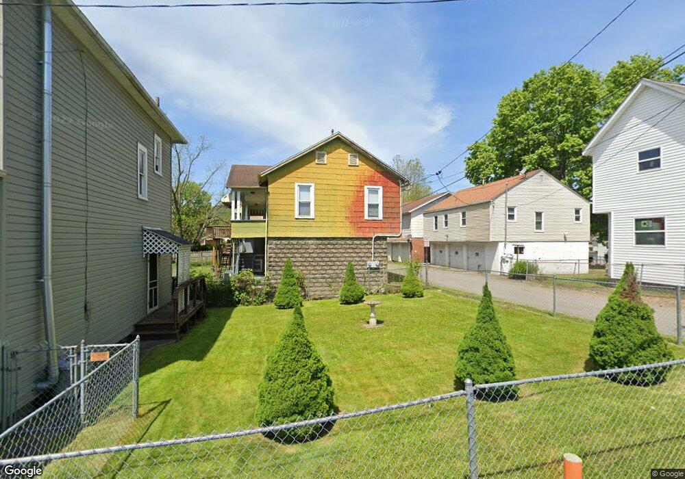
214 Northcott St Clarksburg, WV 26301
Estimated Value: $88,000 - $142,000
--
Bed
--
Bath
--
Sq Ft
1,699
Sq Ft Lot
About This Home
This home is located at 214 Northcott St, Clarksburg, WV 26301 and is currently estimated at $115,000. 214 Northcott St is a home located in Harrison County with nearby schools including Emmanuel Christian School, St. Mary's Grade School, and Notre Dame Middle School and Notre Dame High School.
Ownership History
Date
Name
Owned For
Owner Type
Purchase Details
Closed on
Aug 18, 2025
Sold by
Gaughan Mark Anthony and Gaughan Richard W
Bought by
Stevenski Samantha
Current Estimated Value
Home Financials for this Owner
Home Financials are based on the most recent Mortgage that was taken out on this home.
Original Mortgage
$70,207
Outstanding Balance
$70,146
Interest Rate
6.72%
Mortgage Type
FHA
Estimated Equity
$44,854
Purchase Details
Closed on
Dec 14, 2010
Sold by
City Of Clarksburg
Bought by
Gaughan Edward J
Create a Home Valuation Report for This Property
The Home Valuation Report is an in-depth analysis detailing your home's value as well as a comparison with similar homes in the area
Home Values in the Area
Average Home Value in this Area
Purchase History
| Date | Buyer | Sale Price | Title Company |
|---|---|---|---|
| Stevenski Samantha | $75,000 | None Listed On Document | |
| Stevenski Samantha | $75,000 | None Listed On Document | |
| Gaughan Edward J | -- | None Available |
Source: Public Records
Mortgage History
| Date | Status | Borrower | Loan Amount |
|---|---|---|---|
| Open | Stevenski Samantha | $70,207 | |
| Closed | Stevenski Samantha | $70,207 |
Source: Public Records
Tax History Compared to Growth
Tax History
| Year | Tax Paid | Tax Assessment Tax Assessment Total Assessment is a certain percentage of the fair market value that is determined by local assessors to be the total taxable value of land and additions on the property. | Land | Improvement |
|---|---|---|---|---|
| 2025 | $80 | $5,220 | $5,220 | $0 |
| 2024 | $80 | $5,220 | $5,220 | $0 |
| 2023 | $80 | $5,220 | $5,220 | $0 |
| 2022 | $125 | $8,040 | $8,040 | $0 |
| 2021 | $124 | $8,040 | $8,040 | $0 |
| 2020 | $123 | $8,040 | $8,040 | $0 |
| 2019 | $123 | $8,040 | $8,040 | $0 |
| 2018 | $122 | $8,040 | $8,040 | $0 |
| 2017 | $122 | $8,040 | $8,040 | $0 |
| 2016 | $113 | $7,500 | $7,500 | $0 |
| 2015 | $110 | $7,260 | $7,260 | $0 |
| 2014 | $89 | $5,880 | $5,880 | $0 |
Source: Public Records
Map
Nearby Homes
- 735 Mulberry Ave
- 655/655 1/2 Mulberry Ave
- 645 Mulberry Ave
- 124 N Chestnut St
- 614 W Main St
- 31 cupid dr Cupid Dr
- 150 Coleman Ave
- 403 S Chestnut St
- 247 Park Blvd
- 439 S Chestnut St
- 992 W Pike St
- 949 Washburn St
- 311 Stealey Ave
- 339 S 22nd St
- 1432 Farland Ave
- 342 Lee Ave
- 328.5 Milford St
- 312 Clark St
- 309 S 23rd St
- 426 Duff Ave
- 213 Northcott St
- 220 Northcott St
- 740 Locust Ave
- 744 1/2 Locust Ave
- 729 Mulberry Ave
- 732 Locust Ave
- 728 Locust Ave
- 720 Locust Ave
- 741 Mulberry Ave
- 748 Locust Ave
- 723 Mulberry Ave
- 727 Mulberry Ave
- 752 Locust Ave
- 716 Locust Ave
- 735 Locust Ave
- 739 Locust Ave
- 731 Locust Ave
- 741 Locust Ave
- 743 Locust Ave
- 756 Locust Ave